Daily Pic

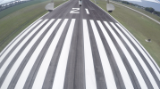
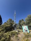
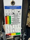
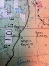
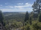
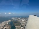
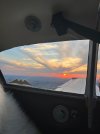
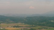
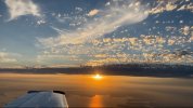
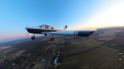
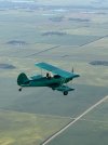
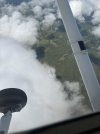
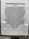
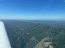
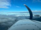
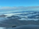
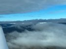
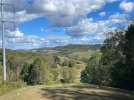
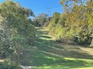
Don't know what a "Repeater" is. But it's apparently built from a repurposed outhouse and inspected by the FAA. Also, the view from the ledge it's on top of a 10,000' peak. And no, dad is NOT taking a leak on it.

IMG_2094.jpegIMG_2093.jpegIMG_2095.jpegIMG_2092.jpeg
 
Last edited:
Don't know what a "Repeater" is. But it's apparently built from a repurposed outhouse and inspected by the FAA. Also, the view from the ledge it's on top of. And no, dad is NOT taking a leak on it.

View attachment 145289View attachment 145290View attachment 145291View attachment 145292

Repeaters are commonly used in amateur (HAM) radio world on the 2 meter band and 440 band. Did they be used for receiving handheld radio transmission and repeating them to get greater range. Frequencies are usually paired up and the repeater receives on one frequency and transmits on another frequency. same goes for handheld radio transmit on one frequency and receive the transmit frequency of the repeater. Police/Fire/EMS also use repeaters using frequencies the same way as HAM radio operators. Probably inspected by the FAA for obstruction purposes


Sent from my iPhone using Tapatalk
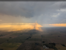
This is on a 10,000' ridgetop with trees far exceeding the height of this tower. Apparently was used for wildfire fighting operations a couple years ago
 
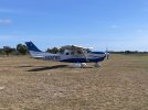
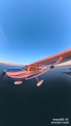
You look like you're wearing that airplane.
It looks incredibly fun to fly.
 
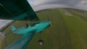
What the….


a09a947415a126b4cd160ac7459e69f6.jpg
 
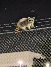
Just leaving the airport and caught this bandit scaling through our ultra high security perimeter fence. He was polite enough to acknowledge me for the photograph... Unlike the entitled possums which roam around like the own the place.

PXL_20251003_012056313.jpg
 
Last edited:
Just leaving the airport and caught this bandit scaling through our ultra high security perimeter fence. He was polite enough to acknowledge me for the photograph... Unlike the entitled possums which roam around like the own the place.

View attachment 145688
there's some UFO's behind him
 
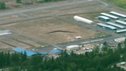
The "Wall that Heals" is a 3/4 scale reproduction of the Vietnam War Memorial in Washington DC. The reproduction was designed to come apart for transport and it has been set up in numerous locations around the country. This summer it spent 5 days in the infield of my home airport, 0S9, Jefferson County International Airport in Port Townsend Washington. The exhibit was popular and drew in a LOT of visitors. Most of the pilots flying in from other airports were unaware that it was here, but enjoyed the exhibit after having a meal at the airport cafe. The weather was just so-so during the wall's residence here, and my side window was dirty, so none of my aerial pictures do it justice. It's still nice to see some reverence for those that fought and died over there, since the reception for returning soldiers back in the day was pretty cold. You can read more about the reproduction here: https://www.vvmf.org/The-Wall-That-Heals/

wall-that-heals.jpeg
 
This was a couple weeks ago, but I don't see these very often around here.

1759603962131.png

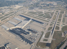
Being vectored over approach end of KSDF Louisville/Muhammad Ali
1759603831811.png
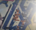
Thought about asking for a touch n go, but saw this on ADS-B, although none appeared to be on any runways according to the above pic.
Funny how some are indicating 400ft. lower than others, as they are all on the ramps or taxiing.
Not only that, but the lower ones are the ones that show orange, and are giving a proximity warning. Not sure why, maybe they were the ones moving around?
1759603881324.png

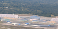
Kentucky Speedway, not a good pic, was on final for 8GK Gallatin County (below).
1759604644122.png

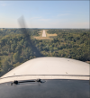
8GK - fairly new, opened in June 2023
1759604676017.png
 
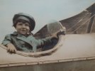
Seems my lifelong interest in flying may have roots going back to around 1924 when my Father was taken for a Sunday ride out to Barren Island, Brooklyn NY and posed for this photo in a Curtis JN-4 Jenny biplane. Early Barnstormers sold rides from Barren Island, which later became Floyd Bennett Field, NYC's first commercial airport. Located just west of JFK, Floyd Bennett is still in operation where the NYPD and US Coast Guard have aviation units based.
gpa.JPG
He grew up to fly combat missions in WWII and Korea (B-24's and C-46's), returned from Korea and purchased a Stinson Voyager, then sold it to start a business. Much later in life bought a C-182 former pipeline plane with over 11,000 hours and flew it well into his 80's... Following his interest and stories, I couldn't help but catching the flying bug early.
 
Seems my lifelong interest in flying may have roots going back to around 1924 when my Father was taken for a Sunday ride out to Barren Island, Brooklyn NY and posed for this photo in a Curtis JN-4 Jenny biplane. Early Barnstormers sold rides from Barren Island, which later became Floyd Bennett Field, NYC's first commercial airport. Located just west of JFK, Floyd Bennett is still in operation where the NYPD and US Coast Guard have aviation units based.
View attachment 145956
He grew up to fly combat missions in WWII and Korea (B-24's and C-46's), returned from Korea and purchased a Stinson Voyager, then sold it to start a business. Much later in life bought a C-182 former pipeline plane with over 11,000 hours and flew it well into his 80's... Following his interest and stories, I couldn't help but catching the flying bug early.


This is very cool stuff !!! Thanks for sharing.
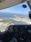
 
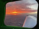
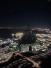
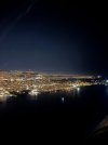
Beautiful night over the bay. Such a privilege to fly right over the southwest 737s at OAK (“cross 3-zero numbers at 2000”), then stare down the folks landing on 28L&R at SFO (“east of 101 at or below 2000”)
It seems NorCal and oak are using highway numbers (over 880, keep 101 to your left) instead of the formerly more frequent “Nimitz”, “MacArthur” “”bayshore”
Am I correct in this, NoCal peeps?
 

Attachments

  • IMG_0534.jpeg
    IMG_0534.jpeg
    1.7 MB · Views: 23
  • IMG_0527.jpeg
    IMG_0527.jpeg
    1.3 MB · Views: 23
Back
Top