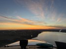
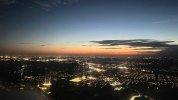
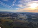
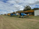
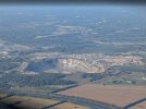
Return trip from Gaston's fly-in yesterday. 6.5hrs. First stop in St Louis, then in Michigan, then back home in Chicago.
takeoff out of KAZO back home
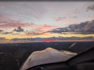
takeoff out of KAZO back home

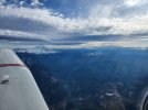
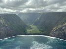
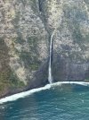
Waipiʻo Valley?Windward side of the Kohala coast of the Big Island.
View attachment 146546

Better take your plane to the avionics shop. I think your direct-to button is bent.Return trip from Gaston's fly-in yesterday. 6.5hrs. First stop in St Louis, then in Michigan, then back home in Chicago.


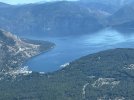
KMMU to KCOE is quite a move.The southern end of Lake Pend Oreille in the Idaho panhandle, showing the little town of Bayview. The Navy has a secret submarine base there. Really.
https://spokanehistorical.org/items/show/589
View attachment 146557
 Lower taxes. Good fishing.

Not secret now...The southern end of Lake Pend Oreille in the Idaho panhandle, showing the little town of Bayview. The Navy has a secret submarine base there. Really.


I think that’s Wainamu, next valley N from Waipi’oWaipiʻo Valley?


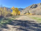
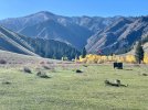
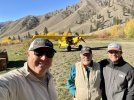
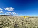
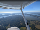
Man, there is some great flying to be had in Idaho. If I ever win the Powerball I'm gonna buy a place in Sandpoint, or Alpine, or Cabin Creek, or somewhere out there... Just need a place that has a hangar big enough for at least three airplanes: My gas-guzzling go-fast one, and my backcountry STOL one, and my amphibious one.Fall flying in Idaho is a joy!

I would need two powerball hits to do all that anymore!Man, there is some great flying to be had in Idaho. If I ever win the Powerball I'm gonna buy a place in Sandpoint, or Alpine, or Cabin Creek, or somewhere out there... Just need a place that has a hangar big enough for at least three airplanes: My gas-guzzling go-fast one, and my backcountry STOL one, and my amphibious one.
Good plan!
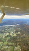
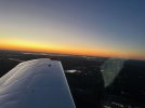
Top photos = Thomas Ck perhaps?Fall flying in Idaho is a joy!View attachment 146611View attachment 146612View attachment 146613View attachment 146614
Yes indeed. Of course that was the ONLY place we landed in the big creek drainage that day since all the other ones are for emergency use only.Top photos = Thomas Ck perhaps?

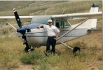
All the middle fork (Thomas, Mahoney, Cougar, Lower Loon, Marble) are open. The big creek drainage has some that have been reassigned Emer use (Vines, Mile Hi, Simmons & Dewey Moore). Cabin Creek is still open as normal.Thought I recognized it. Me at Thomas Ck; about 35 years ago. Emergency use only now? I used to land at all of them.
View attachment 146654


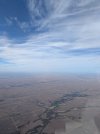
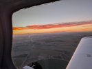
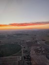

View attachment 146611Fall flying in Idaho is a joy!
No, they put those water diversion channels on many backcountry strips here to keep water from cutting giant ditches in them when the snow melts. They are very effective!View attachment 146611
That looks like a cable or something.
Are they monitoring traffic to see if they need a stoplight there?


I was set up to solo on my 16th birthday in 1954. This was at Grand Central Air Terminal in Glendale Calif. Just a hop and a skip from downtown LA.Downtown Los Angeles yesterday with Palos Verdes and Catalina Island in the background...

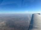
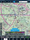
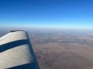

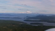
Where did you eat? My wife and I have often flown up for lunch.Mount Baker looming over Shaw, Lopez, Orcas and Blakely Islands in the San Juans. I flew to Friday Harbor on San Juan Island for breakfast on what might be the last nice day this week.
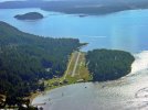
I had breakfast at the Salty Fox, a coffee shop right across from the ferry terminal. They serve breakfast sandwiches all day long and that's a good thing for a late starter like me. I have noticed 38WA on each flight to the San Juans, but since it is private, I've never landed there. I also admire the private grass strip on Center Island - another gem I'm trying to get invited to land on. I'm also curious about an uncharted grass strip on Shaw Island. The islands are full of public airports, so not having an invite to any of the private strips hasn't been a problem, just an itch I'd like to scratch.Where did you eat? My wife and I have often flown up for lunch.
Ever noticed 38WA on Blakely Island?
View attachment 146875
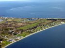

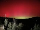
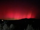
What state/region did you get these pics? I'm in SD and I keep looking, but nothing yet.