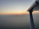
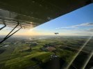
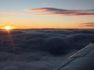
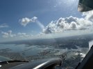
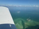
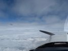
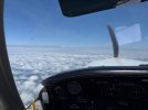
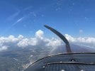
Must be living right. Made it all the way home from Sarasota today, do delays or overnights for weather(although if we left 30min later we might still be in FL).
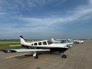



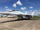
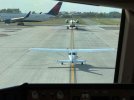
Beautiful plane...what's that down at the end of the ramp (right hand edge of photo)?Must be living right. Made it all the way home from Sarasota today, do delays or overnights for weather(although if we left 30min later we might still be in FL).
View attachment 143719View attachment 143720View attachment 143721View attachment 143722View attachment 143723View attachment 143724View attachment 143725
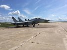
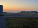
Some very rotten Mig-29s that have been there longer than I have.Beautiful plane...what's that down at the end of the ramp (right hand edge of photo)?

What airport, if you don't mind me asking?Some very rotten Mig-29s that have been there longer than I have.
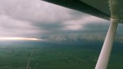
I took these pics a few years ago.

Quincy, IL. (UIN)What airport, if you don't mind me asking?





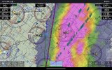

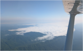

did you take it easy?Coming out of Abington VA, wanting to stop at A16, but it had a Foghat.
Which was appropriate since I was in a 172 slow ride.
View attachment 144247

Are you sure? How about Whiteman?
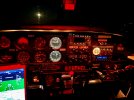

So who was more nervous, you or your student.??

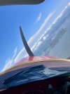
Get your prop balanced and that won’t happen.This will have to be my cheapest repair bill to date… minus two rental cars, a night in a hotel room and commercial flight…..
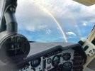

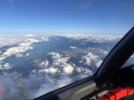

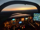
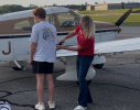
Neither. I know he is a sharp kid and a natural at flying. He was not either, he got out of the airplane very calm, cool, and collected. He is going to have a great career.So who was more nervous, you or your student.??
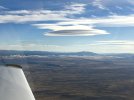

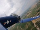
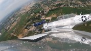
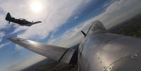
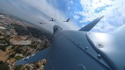
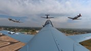

ColinD- What kind of plane is that?