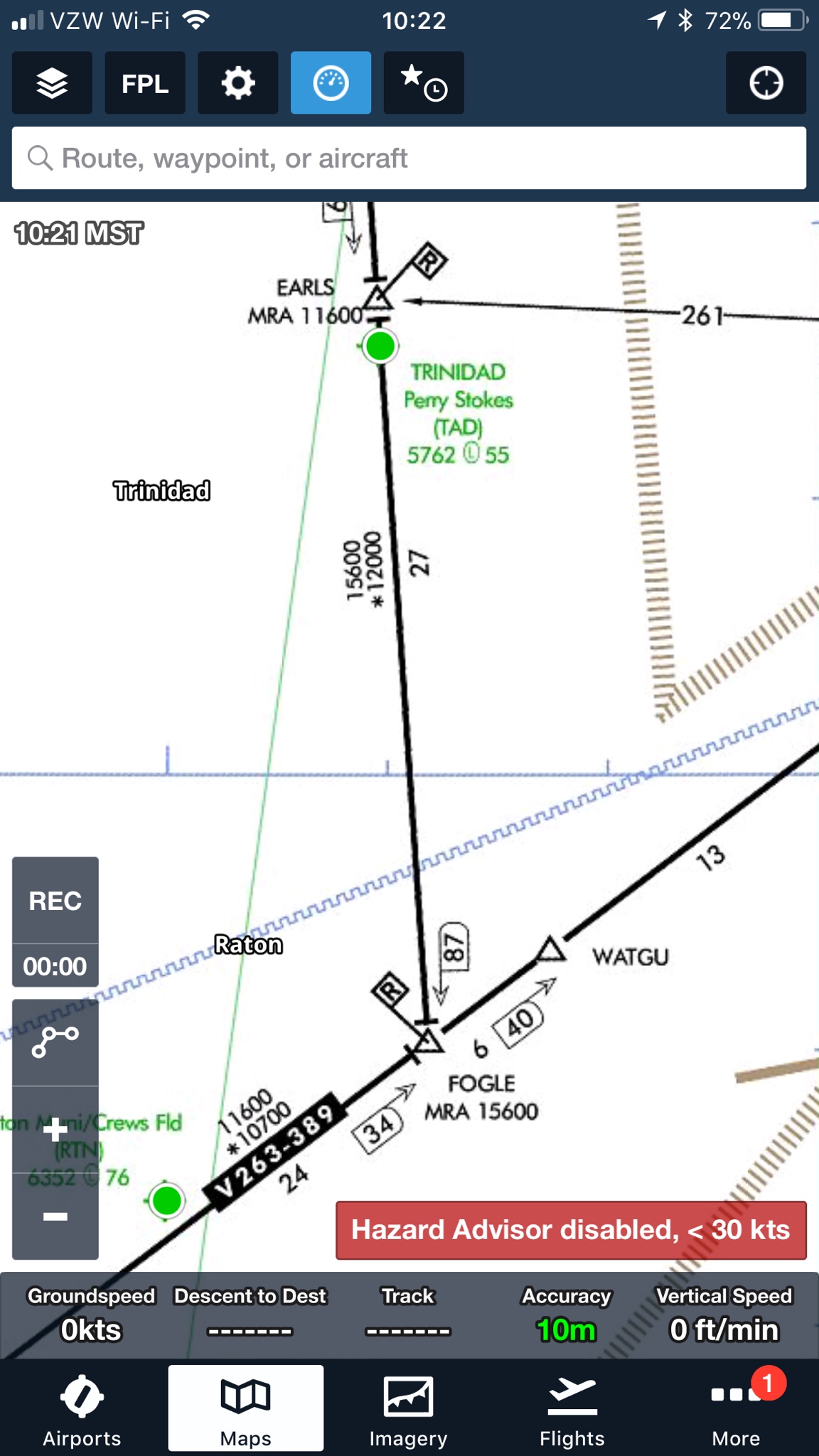
I don't know if "guaranteed" is part of the definition but since both VOR and com are line of sight means ATC might not assign a MOCA if they can't.
There are areas where you lose com at the MEA.
Supposedly, communication is a requirement for the establishment of an airway. Maybe its just to the MEA, I'm not really sure and I think there have been some changes to things over the last few years that have allowed 'Data Link' to satisify the requirement, so 'radio communication' may not be necessary. Anyway, issuing Lost Com is a requirement for controllers when clearing aircraft below the MEA. Sometimes. Here's the 'rules.'
a. An aircraft may be cleared below the MEA but not below the MOCA for the route segment being flown if the altitude assigned is at least 300 feet above the floor of controlled airspace and one of the following conditions are met:
NOTE− Controllers must be aware that in the event of radio communications or GNSS failure, a pilot will climb to the MEA for the route segment being flown.
1. For aircraft using VOR, VORTAC or TACAN for navigation, this applies only within 22 miles of that NAVAID.
2. When radar procedures are used, the following actions are taken:
(a) In the absence of a published MOCA, assign altitudes at or above the MVA or MIA along the route of flight, and
(b) Lost communications instructions are issued.
3. The aircraft is GNSS equipped.
"2. (b)" kind of implies that radio communication is not protected for below the MEA. "3." was recently added.
")