Marauder
Cleared for Takeoff
- Joined
- Oct 24, 2012
- Messages
- 1,463
- Display Name
Display name:
Marauder
I admit to being somewhat lazy in that I didn't read all 23 pages of this thread to search for the answer to questions so hopefully someone can help here.
I have an iPad 3 that I use GP on and absolutely love it for IFR and VFR. I also use wingx but it is the runner up for me behind GP. I have GP on my Android phone as well.
I am looking at buying a Samsung Galaxy Tab 2 7.0 (just because it looks cool and it's only $169 at best buy right now!!).
So my questions...
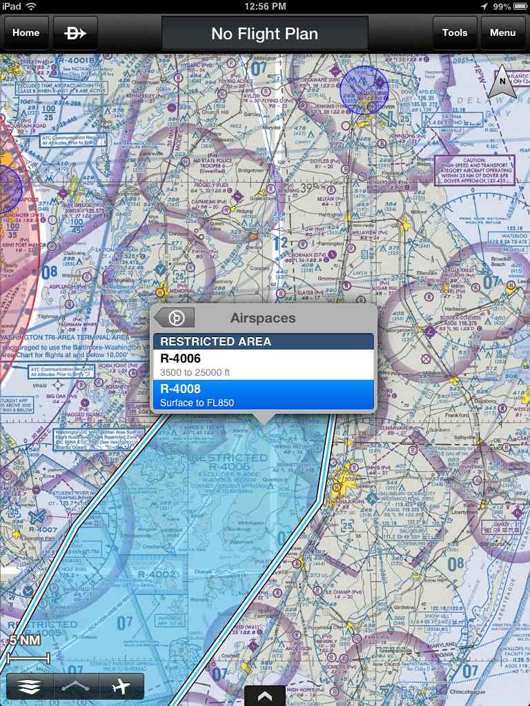
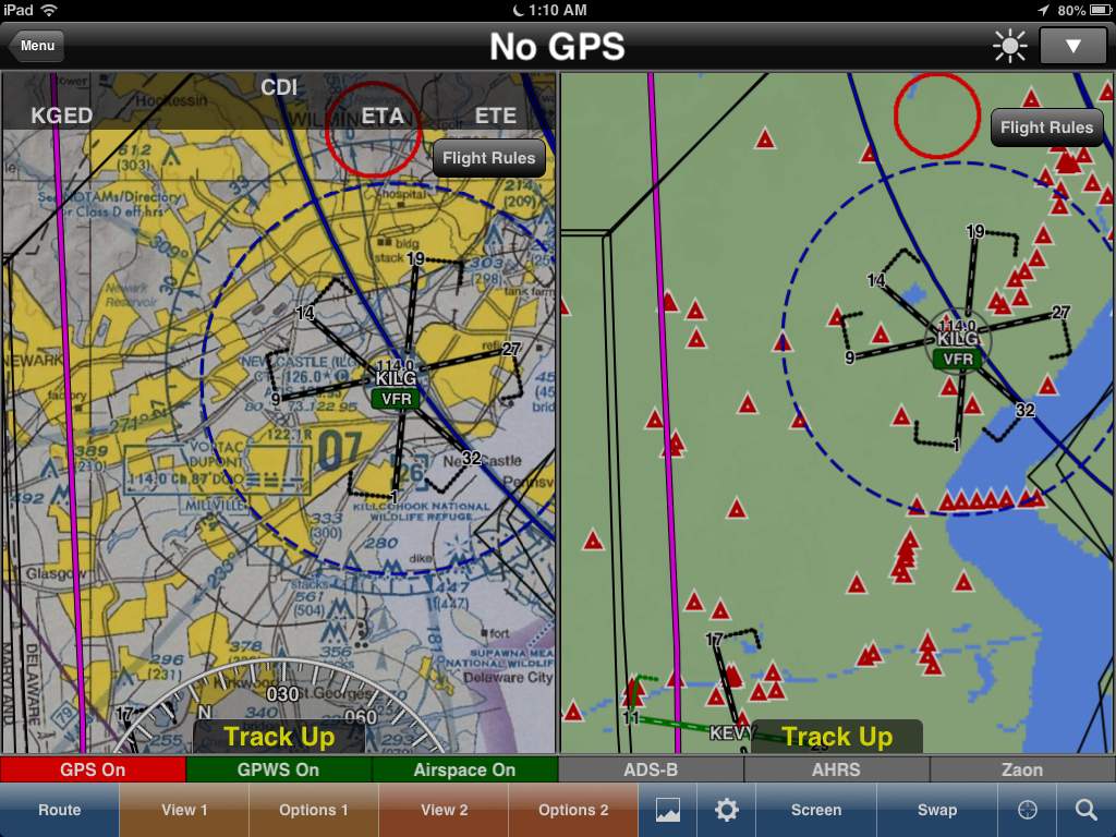
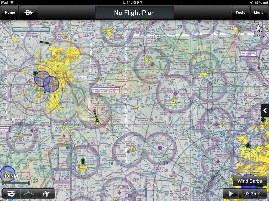
Generally speaking, how do you guys like GP on the Android tablets vs GP on the iPad? I specifically like, no...LOVE, the Dynamic Maps on the the iPad version of GP. I can barely stand to look at sectional or low enroute charts anymore (and I've been looking at them for almost 30 years of flying)!! GP doesnt have the Dynamic maps (yet?) for the Android phones but is it available for the Android tablets?
Any opinions (this isn't the red board, so I can safely ask for opinions) as to how well GP will run on the Samsung Galaxy 2 7.0?
Are there other significant differences between GP for android (for tablets) and theiPad?
Chris -- I have GP on both an iPad 2 and a Nexus 7. The version on iOS is more refined than the Andriod version. Features often appear on iOS before they typically do on my Nexus. The only reason I am on the Nexus is that it was a lot cheaper than the Mini. Does it work? Yep. People happy with it? Yep. Is it as well refined as the iOS version? IMHO, no. But they are trying to catch up.