Garmin Pilot for Android -- Tech Support, Tips, Tricks

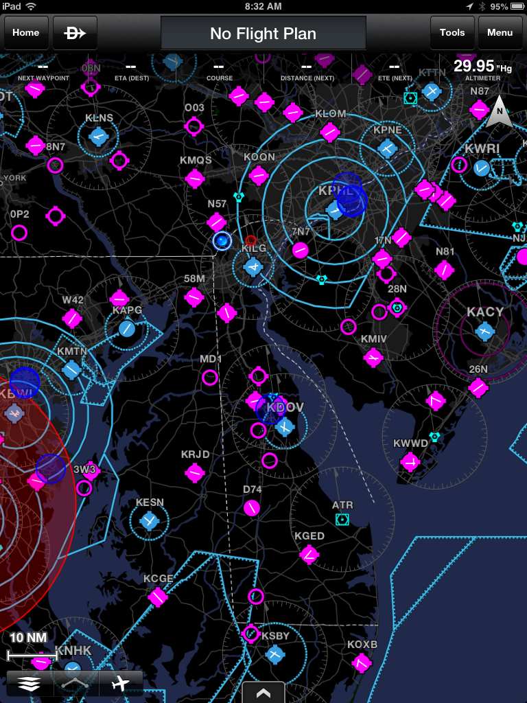
I took the N7 flying yesterday evening. The (non-GPS) altimeter read 3500, the N7 read 3340.

Thanks, wonder if others will see the lower altitudes as well. Here are the results of my "test":

Sorry for taking so long to report back on my GPS tests. There is something definitely not right with my Nexus GPS. I seem to have ruled out the positional errors but altitude still is much different than when I use my XGPS150.

Quick summary; I noticed some altitude differences between my iPad running ForeFlight & Garmin Pilot and my Nexus 7 running Garmin Pilot. On the Nexus, using the internal GPS antennae, I was seeing between 400 to 500 feet difference the altitude it reported versus what the iPad running Garmin Pilot with an external XGPS150 antennae.

I also suspected there were some issues with the GPS position reports as I saw on the georeferencing on both devices. To get to somewhat accurate answer to both of these concerns, I set up both units to determine what the differences were for both.

For the location tests, I set up the Nexus 7 with the internal GPS using Pilot and recorded the lat/long for the position I was at (stationary, on the ground). I did the same with XGPS150 antennae connected first to the Nexus and then to the iPad. Finally, I took the same information from my iPhone 5 running ForeFlight. I recorded results for the Nexus using Pilot with internal antennae, external antennae and using a GPS app for the Nexus (reports internal GPS function) and with the iPad running the XGPS150 with ForeFlight & Pilot. End result? The positions were essentially the same on all three devices.

The second round of location tests were done in motion, comparing my actual position to the georeferenced using the same combinations of devices, antennae and apps. Again, all reported the same information (essentially). I did notice a little bit of a difference with the Nexus running the internal antennae.

Altitude tests. I did a check on the ground at a known fixed point (airport reference). I did the same comparison using the different combination of devices, antennaes and apps. The result? The Nexus using it's internal antennae reported a ~150' difference (lower) than the other two devices and combinations -- both of which were within 20 feet of the known elevation (strange but true).

The tests were repeated at 2500', 4500' and 6500' feet. What I noticed was a significant difference at altitude. The higher I went with the Nexus using the internal antennae, the more deviation there was between what the other combinations reported. The Nexus with XGPS150 and the iPad with the XGPS150 were essentially the same using either ForeFlight or Pilot. At 6,500, the difference was almost 600'.

So, in a nutshell, there is something different about my Nexus internal GPS which is resulting in wrong altitudes being reported. At least the position reference is correct.
 
That altitude axis is the toughest to calculate. The Garmin app doesn't show the signal strength of the sats, I wonder if that has something to do with it? What I haven't done is compare the garmin app altitude with another Nexus7 app like GPSTest. I'm thinking there has to be a to separate the s/w calculations from the h/w reception.

You might try your tests using GPSTest instead of GarminPilot.
 
The Nexus using its internal antennae reported a ~150' difference (lower) than the other two devices and combinations
OK, so you got me interested. Here's some living room data:

I am almost exactly at the middle of a line between two airports about ten miles apart. The average of their two elevations is 890 ft.

N7, "GPS Test" app, Internal GPS: 891 feet
N7,Garmin Pilot, External BT GPS: 897 feet
N7,Garmin Pilot, Internal GPS: 754 feet

Garmin Oregon 200 hand-held GPS: 856 feet.

(I could not figure out how to get GPS Test to use the BT GPS.)

So, that suggests that Garmin Pilot may be misreporting the altitude from the internal N7 GPS for some reason. That's really odd, because the altitude is calculated by the GPS chipsets and sent in the NMEA data stream. All Pilot has to do is to parse it out and possibly convert from meters to feet.

Sounds like something the guys at Garmin need to know?
 
Sitting in my living room, watching Mich and Syracuse. The N7 Garmin Pilot shows 959. GPSTest shows 1148+/-39. My Garmin Nuvi I just grabbed out of the car shows 1067+/-32.

The actual elevation should be close to 1089, based on a topo map.

So,
Nuvi = 1035 to 1099 = OK
GPSTest = 1109 to 1187 = HI
GarminPilot = 959 = LO

Note: I just restarted GarminPilot and got 1028, a +69 difference from a couple minutes ago.

I just restarted GPSTest and got 1150 +/- 20.
 
Last edited:
Augh! Now you've got me doing it, even though GPS altitude is never really worth looking at...

I am currently sitting in my motorhome, literally 30' from the ocean waves. I am as close to 0' MSL as you can get on land.

Garmin Pilot initially read +80'.

I ran the app "GPS Test", which showed +16'.

I then ran Garmin Pilot again. It showed -67'. It's now bouncing around from +56' to -1'.

GPS test is still a solid +16'. Off by probably 10'.

I've got 8 solid satellites, BTW, with an accuracy of 39'.
 
At least you guys proved that I'm not nuts, insane possibly, nuts nope... And the higher you go the worse it gets with the Nexus using the internal antennae -- at least with mine. Next time you are at altitude, report back the difference from your indicated altitude. It will never match the pressure altitude, but I am not sure why it is always indicating much lower than other GPS altitudes.
 
At least you guys proved that I'm not nuts, insane possibly, nuts nope... And the higher you go the worse it gets with the Nexus using the internal antennae -- at least with mine. Next time you are at altitude, report back the difference from your indicated altitude. It will never match the pressure altitude, but I am not sure why it is always indicating much lower than other GPS altitudes.

Um, I think my test eliminates the N7's internal GPS antenna as the culprit. It appears to be a Garmin Pilot issue.
 
Um, I think my test eliminates the N7's internal GPS antenna as the culprit. It appears to be a Garmin Pilot issue.

I kinda agree. If the apps are simply decoding the data string from the chipset, GarminPilot and GPSTest should match.


Edit - just got 980 on GarminPilot and 1060 on GPSTest. Actual elevation is still 1089.
 
Last edited:
Just ran GPS Test again. We're still camped on the beach, just about at sea level.

I now have 12 satellites in view, and an accuracy of 26'. Altitude is showing a solid -4', which is still about 10' off, but in the other direction than earlier (when I had just 8 satellites, and 39' accuracy.).

Garmin Pilot stabilizes at -106'. Off by 110', give or take. This still seems to indicate a problem with the app, not the GPS.
 
It's interesting that in pretty much all cases, stationary on the ground and moving at altitude, that GPilot always reports low.

I haven't pestered any technical support people for a while, maybe I'll send an e-mail to Garmin and ask about this.
 
I haven't pestered any technical support people for a while, maybe I'll send an e-mail to Garmin and ask about this.
Probably a good idea. No need for all of us to rain on them.

For anyone who wants to dig further (I don't), it looks like an app called "Ultra GPS Logger" will let you get at the raw NMEA altitude data being sent from the chipset. There are many places on the 'net where you can get information on the format. Here is one I like: http://www.gpsinformation.org/dale/nmea.htm

NMEA altitude data is provided in meters. It's hard to see how the simple conversion to feet could have a bug, but certainly that's the most likely culprit. Maybe someone used single-precision arithmetic when they needed double-precision or maybe someone accidentally did some integer arithmetic.

Or the risk managers at Garmin, Inc. prevailed, and forced the programmers to build in a "safety" cushion. If the app always reads 100' low, for example, you would be less likely to ever hit Terra Firma -- not that I know anyone dumb enough to use data from a tablet app for absolute altitude information.
 
Or the risk managers at Garmin, Inc. prevailed, and forced the programmers to build in a "safety" cushion. If the app always reads 100' low, for example, you would be less likely to ever hit Terra Firma -- not that I know anyone dumb enough to use data from a tablet app for absolute altitude information.

If anyone is using this hardware and app for primary altitude info, they probably wouldn't survive the drive to the airport.


Edit: I doubt they would 'dumb down' the altitude reporting on the Nexus intentionally. If they did it there, why not on their aviation specific handhelds? They are for VFR use only, too.
 
Last edited:
Probably a good idea. No need for all of us to rain on them.

For anyone who wants to dig further (I don't), it looks like an app called "Ultra GPS Logger" will let you get at the raw NMEA altitude data being sent from the chipset. There are many places on the 'net where you can get information on the format. Here is one I like: http://www.gpsinformation.org/dale/nmea.htm

NMEA altitude data is provided in meters. It's hard to see how the simple conversion to feet could have a bug, but certainly that's the most likely culprit. Maybe someone used single-precision arithmetic when they needed double-precision or maybe someone accidentally did some integer arithmetic.

Interesting reading. I did see that in addition to the altitude above sea level, there is also the height of the geoid above the ellipsoid (the earth is not perfectly round). I wonder if that scaling factor is being used differently?

I'll go ahead and contact them and keep you posted.
 
FWIW... I sat out on the patio for 10 minutes, under full, open, blue sky... with iPad Mini. Switched between Garmin Pilot, WingX, Foreflight, SkyCharts Pro, and Scenic Map.
All started out at 1446' and, over the 10 minutes, ended up at 1451'.
Over the next 10 minutes, they all varied back/forth in that range, but usually they all said the same thing (or off by 1', but that was likely due to timing as I switch among them)
WingX's AGL indicator always showed me between 3-8' AGL. Come to think of it, I had the iPad on a table about 2' off the ground.
 
Last edited:
...in addition to the altitude above sea level, there is also the height of the geoid above the ellipsoid (the earth is not perfectly round).
Probably no GPS emits all of the possible sentences. Some, like the one that produced the sample below, just output a couple of them -- typically once per second. Note also that many of the parameters listed in the spec are not provided. (",,," indicates two missing parameters). So the N7 GPS may not be providing anything but raw altitude. It's said to be a Broadcom BCM4751 but I couldn't find a data sheet on it.

But that's Garmin's problem, not ours.

----------------------
$GPRMC,030624.000,A,4650.1556,N,10053.4073,W,,,201109,,*1E
$GPGGA,030624.000,4650.1556,N,10053.4073,W,1,,,22.8,M,,M,,*42
----------------------
 
internal GPS disabled?

Anyone else have the issue of the internal Nexus 7 gps not functioning when Garmin Pilot is running?

When my bluetooth connection between the Nexus 7 and the GDL39 drops out (frequently - every 60-75 minutes, sometimes sooner), the Nexus 7 does not automatically switch to the internal gps, and my position disappears on Garmin Pilot.

I checked to confirm the gps was enabled in the Nexus 7 settings, even going so far as to turn it off and then on in hopes it would auto-acquire. No go.

John
 
Nexus 7 question: the other day I let my son use the Nexus 7 for an hour....well the next time I used it, the darn clock is different on the lock screen. See pic. I'm not sure if he changed something or if a new system update loaded, but somehow I now have this irritating double clock. One of which says "HOME" and is not the correct time. Anyone else ever seen this feature or know how to get rid of the second clock? :confused:
 

Attachments

  • Screenshot_2013-04-07-08-36-15.png
    Screenshot_2013-04-07-08-36-15.png
    855.3 KB · Views: 15
Nexus 7 question: the other day I let my son use the Nexus 7 for an hour....well the next time I used it, the darn clock is different on the lock screen. See pic. I'm not sure if he changed something or if a new system update loaded, but somehow I now have this irritating double clock. One of which says "HOME" and is not the correct time. Anyone else ever seen this feature or know how to get rid of the second clock? :confused:

Looks like he just added a lockscreen widget -- Try to long-press the one that you don't want and drag it to the "Remove" icon that should appear at the top of the screen.
 
I'll try that.
I always had the clock there, but previously it had only the single time display, the new feature is the smaller "home" clock.
thanks
 
Nexus 7 question: the other day I let my son use the Nexus 7 for an hour....well the next time I used it, the darn clock is different on the lock screen. See pic. I'm not sure if he changed something or if a new system update loaded, but somehow I now have this irritating double clock. One of which says "HOME" and is not the correct time. Anyone else ever seen this feature or know how to get rid of the second clock? :confused:

Yeah it's pretty simple to fix, just a check box. I set mine up this way when I travel so it shows different timer zones. I'm just about to check out for an hour, I'll get back tho you soon.
 
I'll try that.
I always had the clock there, but previously it had only the single time display, the new feature is the smaller "home" clock.
thanks

That's a "dual time" clock widget. I've got mine set to show the time in Munich, so I know what time my Oktoberfest drinking buddies (all 4 million of them) are at the bars.
:D
 
Nexus 7 question: the other day I let my son use the Nexus 7 for an hour....well the next time I used it, the darn clock is different on the lock screen. See pic. I'm not sure if he changed something or if a new system update loaded, but somehow I now have this irritating double clock. One of which says "HOME" and is not the correct time. Anyone else ever seen this feature or know how to get rid of the second clock? :confused:

OK - I'm back.

What it looks like happened here:

Go to the system settings > Date and Time > and set the proper time-zone. What it looks like happened is the current date/time setting doesn't match the timezone that has been selected. The display will then show both of them. The system time, and whatever your "home" timezone is set to. Make sure the two times match, and then only one clock will be displayed.

Another thing you can also do with the clock:

Go into the Settings > Clock, then touch on the "location" icon (I don't know what it's really called, it's the pin-shaped deal on the lower center. You can then turn on/off other city displays if you want to display other city time-zones. This will show up on the clock screen as well as the lock-screen.
 
thanks Matthew for the info!
 
I like it and run it on my Nexus 7, though I have a DualXGPS150 and still use XM for my weather. Compared to other products, the Garmin is well done and only $49.00 for the basic program for a year and another $49 for the geo-referenced approach charts.

Cons: You should be able to just have a default map without putting in a flight plan, and

I wish that the little airplane was larger.
 
So is the price now$74.99 instead of the 'sale' price of $49 per year?
 
So is the price now$74.99 instead of the 'sale' price of $49 per year?

Damn.. I see that on my Android, too -- I've been meaning to renew for another year (sub up in August).
 
nuts. I guess I'll have to get my money's worth by griping at their tech support line more often. From what I read, it looks like they'll give it to you as an update, but the new pricing doesn't start until you renew your subscription.
 
Double damn
I wouldn't lose any sleep over it. I think you can expect to see pricing move around quite a bit in the next year as both the app companies and the ADS-B box companies jockey for share. Sun 'n Fun specials, OSH specials, Xmas specials, etc.

The only ones I don't expect to see discounted much are the GDL-39 and the Stratus box (except for model closeouts) because of the lock-ins. The rest of the box guys will be tempted to discount to buy share and then, when the inevitable shakeout comes, discount for survival/cash flow.

We might see some discounting of the georeferenced stuff too. I'm sure Seattle Avionics has pi$$ed off a lot of app companies by signing to compete with them via AOPA. So the app companies will be looking for a different chart vendor (or moving the charts in-house) if for no other reason than to keep AOPA from knowing what their sales are. That might produce some price competition.

IMHO, anyway.
 
I think an AFD would be helpful.
 
Re: internal GPS disabled?

Nobody else? The GPS works fine otherwise.
J

Anyone else have the issue of the internal Nexus 7 gps not functioning when Garmin Pilot is running?

When my bluetooth connection between the Nexus 7 and the GDL39 drops out (frequently - every 60-75 minutes, sometimes sooner), the Nexus 7 does not automatically switch to the internal gps, and my position disappears on Garmin Pilot.

I checked to confirm the gps was enabled in the Nexus 7 settings, even going so far as to turn it off and then on in hopes it would auto-acquire. No go.

John
 
Nobody else? The GPS works fine otherwise.
J

Nope. My issue is the off altitude problem with the internal GPS.

I'm not happy to hear that the Android version will continue to lag behind the iOS version. Some of the new features are really nice.

u2e2a5ud.jpg
 
I have it too on the Nexus. It requires one (while flying) to go into another app, perhaps enter the airport identifier of the field you are interested in, and find the info. I think Pilot could have the A/FD available as an option on the split screen. Simply touch a airport and in the circle of options, the A/FD is a choice. Much easier than sending the user to another app.
 
Back
Top