Agreed, but as a developer I can see both sides. Possible solutions:
* Hide lowest levels. Hopefully eliminates false positives but might also hide important info (and yes, I admit these are unlikely, but: smoke? insects? birds? volcanic ash? Snow?) This follows an exisiting standard's recommendation (DO-267A), so liability may not be a concern.
* Have configuration menu for advanced users - Just adds to an already confusing interface, most will never use it, those that do may not use it correctly (I personally favor this one, with the default setting to hide lowest levels. That follows the recommended display and would still enable rendering of the raw data for expert users. Could also add a data smoothing option here.)
* Always show all levels, catch hell for phantom precip. But, you're showing everything, it's totally on the user to decide what it means, you were just a conduit for the information. No liability, and no additional software features to implement / test.
* (Outside of Garmin's control) Improve data filtering on the ground before the product is sent out. If those levels are "background" (as defined in the standard), they should be zero'd before being broadcast. I'm not sure why this isn't done anyway, making more uplink bandwidth available for higher spatial resolution.
If I had side by side screenshots showing the problem, I'd file a bug report. But I just got my GLD39 and don't have another nexrad source in the plane so it won't be me. Anyone else?
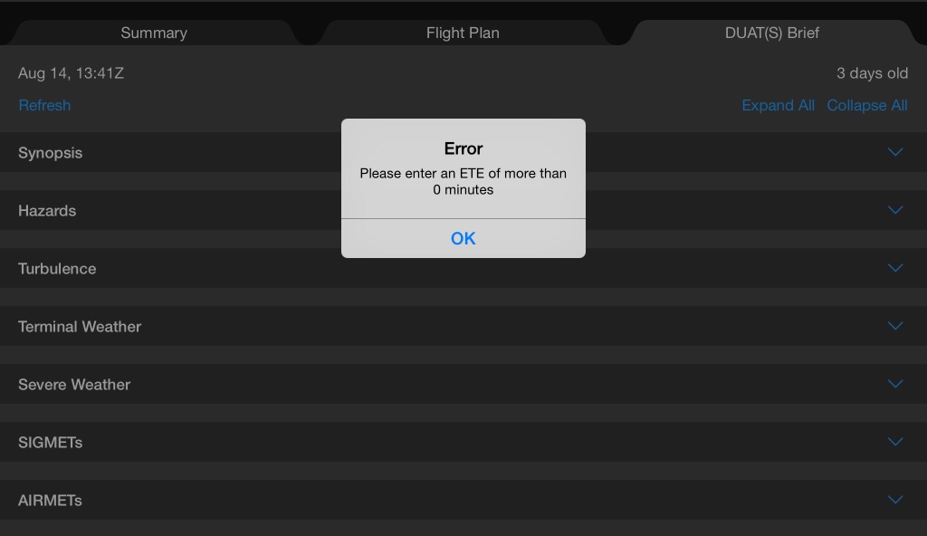
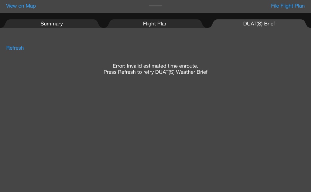
") I noted an issue with an error coming up when flights are planned with less than 30 minutes in duration. When I went to the weather briefing page I would get an error message saying the ETE needs to be more than "0".
I noted an issue with an error coming up when flights are planned with less than 30 minutes in duration. When I went to the weather briefing page I would get an error message saying the ETE needs to be more than "0".