bnt83
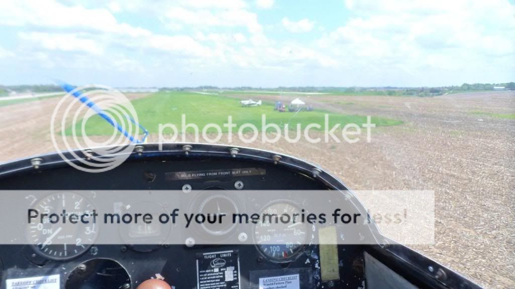
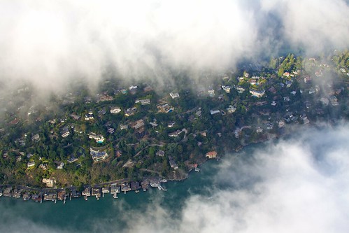
Final Approach
Stemming from the most amazing flight of your life thread.
GO!
GO!

 )
)
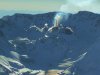
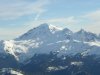
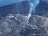
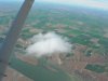
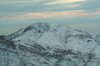
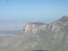
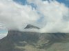
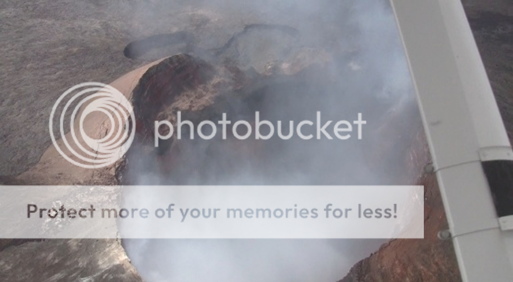
Mt. St. Helens? Well I remember that day. We live in southeast Washington State.The smoking crater
The smoking crater
Nice website Ed, when did you take that trip?
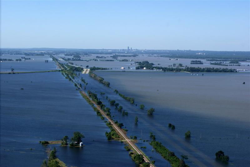
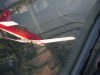
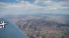
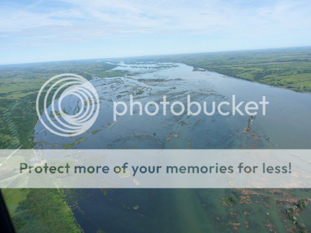
I took this flood picture in 2010 of the Missouri River. It has been on Fox News, Goodmorning America, Weather Channel, and published several times in national magazines.
This is north of Omaha looking south. That is I29 underwater. I landed on the dry closed section a couple of times... allegedly.
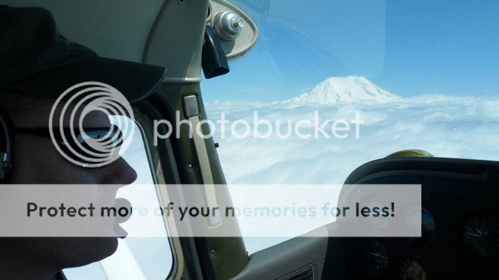


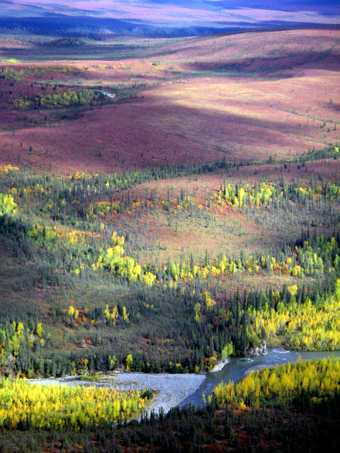


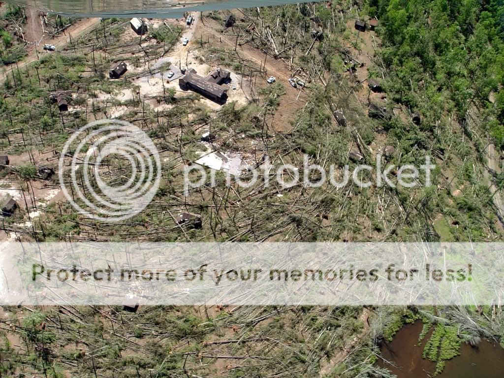
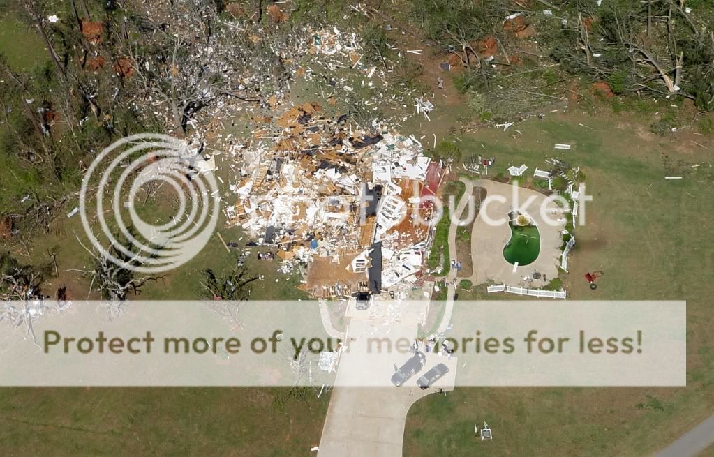
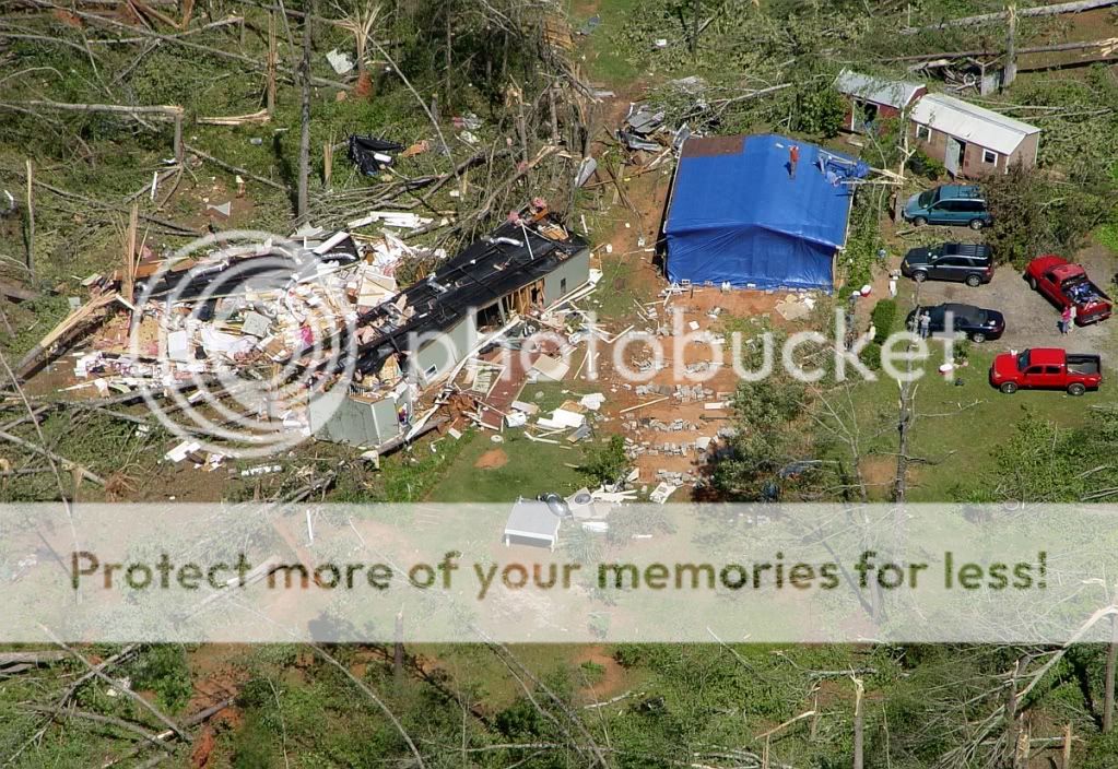


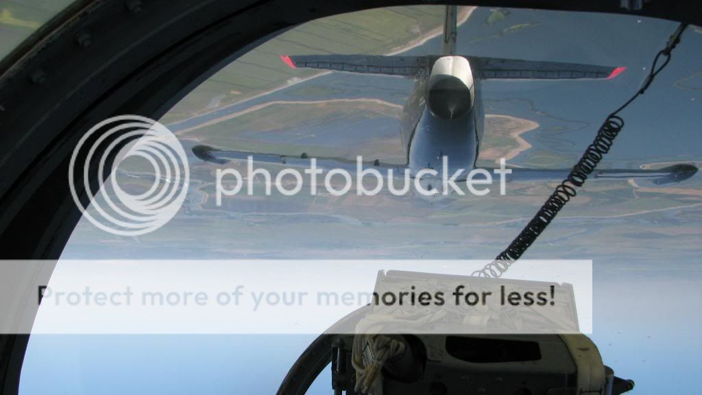
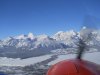
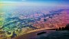
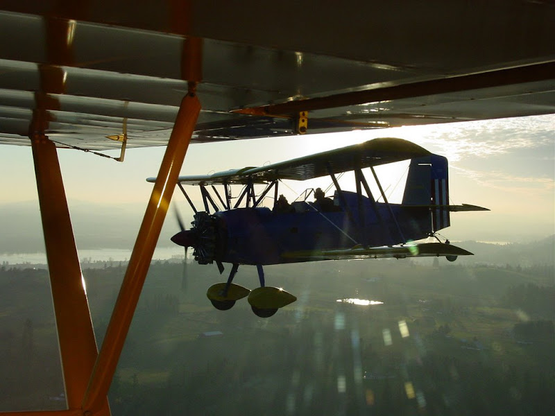
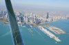
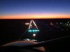
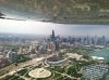
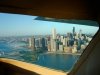
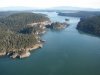
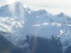
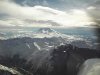
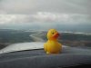
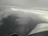
Here are some of my faves...