eman1200
Touchdown! Greaser!
- Joined
- Mar 10, 2013
- Messages
- 18,843
- Location
- Oakland, CA
- Display Name
Display name:
Bro do you even lift
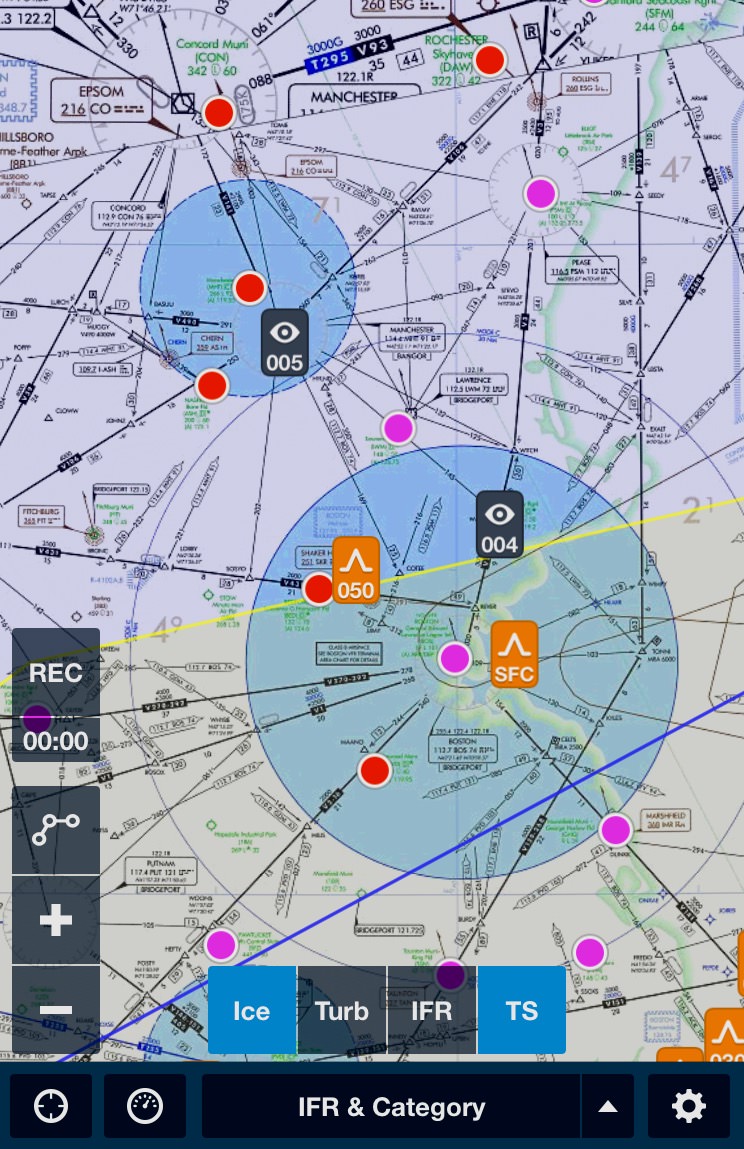
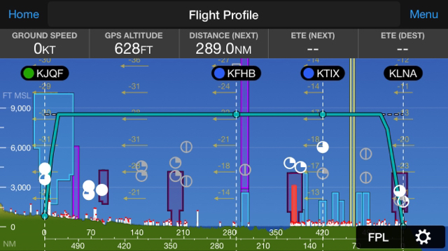
what tools do you use to check airspace on long xc's, especially if you know there is a bunch of 'complicated' airspace? garmin pilot's flight profile seems to work well, does FF have something similar? I guess you could technically follow your entire route on GP or FF (formerly done on "sectionals") and check for airspace that way, but I could see missing something. anything else?

")