air space checks for long xc's

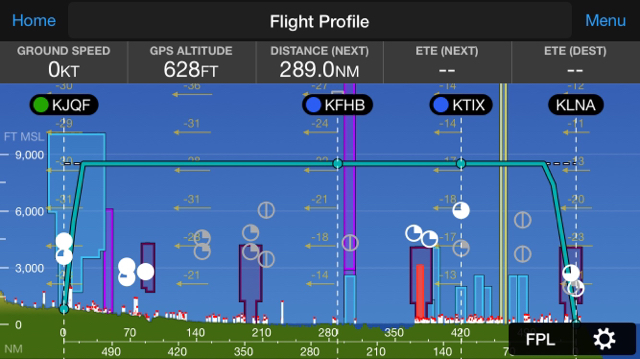
lol exactly my point. anyways I think I answered my own question with GP flight profile. with all the gadgets we got today, I don't want to have to follow my magenta line on a sectional or GP (even though that's what I mostly do because of the info you can get by just clicking on the airspace) and click on each individual area in question, cross check it with my intended altitude, make notes, yadda yadda. I want the info to come to me, kind of like it does with the flight profile.

ok I'll just go back to waiting for the Redneck Pilots next video, carry on.

Doin the Ma Bell thing and getting on the phone might be your quickest way to get what you want. Your Garmin Pilot, or most other of those apps as well as charts tell you where the SUA is. Then call 800WXBRIEF. Tell em ya want an 'abreviated briefing.' Ask for SUA Notams to find out what's Hot and what's not and anything else you want like TFR's.

EDIT: Oh yeah. Tell them you already have the F'ing Disney World one. You don't wanna have to listen to that
 
Last edited:
I file and plan on FF,then get Flight Following,to give me a heads up , along the route.
 
This is the flight profile, gives you all potential airspace along your route. I’m less likely to miss something compared to just clicking on things I see on the sectional.

9604b6804faf861160d50ce839fe36f7.jpg
Too bad the horizontal and vertical axis aren't on the same scale. Otherwise that would be a really cool flight path.
 
Too bad the horizontal and vertical axis aren't on the same scale. Otherwise that would be a really cool flight path.

you can stretch it wider, but I think they set it up to give you a high level overview of the entire flight. you can also click on any of the airspace shown and get the details. so, basically, I answered my own question, but wanted to see if there were tools OTHER than searching along your flight path and clicking on each one individually.
 
When the weather allows for VFR, IFR is just too slow and too limiting for my taste

I agree. Flying IFR adds time, but time well allocated when it is needed.

When flying my usual route, I file for leaving KAUS and file another plan for KCPT, both destinations being KDTO. If there are clouds, I pick up either flight plan for going where I need to go (or getting into airspace when I need to).

The whole idea is thinking about the flight and using all available resources to make it a safe and uneventful flight.
 
iFyly GPS also has this feature (now available on the iPad as well as android). Not affiliated, just a happy user.
 
This is the flight profile, gives you all potential airspace along your route. I’m less likely to miss something compared to just clicking on things I see on the sectional.

9604b6804faf861160d50ce839fe36f7.jpg
I use Garmin Pilot and can't figure out how to get to this profile. I do use the Android version.
 
I use Garmin Pilot and can't figure out how to get to this profile. I do use the Android version.

oh, u know, I just checked my android tablet, don't see it there either, sorry. the screenshot I posted was from iPhone.
 
what tools do you use to check airspace on long xc's, especially if you know there is a bunch of 'complicated' airspace? garmin pilot's flight profile seems to work well, does FF have something similar? I guess you could technically follow your entire route on GP or FF (formerly done on "sectionals") and check for airspace that way, but I could see missing something. anything else?

File and fly IFR. :p

Also Skyvector and WingX.
 
airspace......MOA's, restricted, etc....floors/ceilings, operational times, yadda yadda. "am I going to bust any airspace" checks.

You can get updates on SUAs by contacting the controlling agencies enroute, as needed. Using ForeFlight, the controlling agency’s name and frequency will be shown in the pop-up, if you tap anywhere in the airspace. On paper sectionals, it’s shown in the SUA tables on the borders.

Check this out: http://upperlimitaviation.edu/flying-in-special-use-airspace/
 
Last edited:
Oh I plot my route on skyvector before I leave the house. But then also I'm always on flight following so barely comes up
Ditto flight following. I can't imagine taking a long XC without it.

Sent from my Pixel using Tapatalk
 
Back
Top