Nick's map of the US...

kath

Administrator
Management Council Member
PoA Technical Administrator
Joined
Feb 27, 2005
Messages
1,871
Location
Anchorage, AK
Display Name

Display name:
Katherine
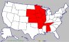
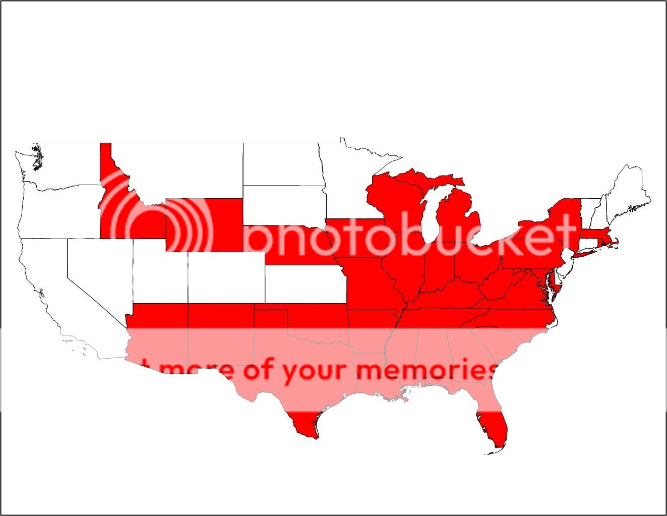
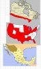
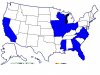
This is what happens when I get bored at work. I start wondering what MY map of the US would look like, and so.....

usamap.gif


Any others?

P.S. Pictures from a FANTASTIC flight over Prince William Sound are (I am assured) in the mail, and I'll post some as soon as the CD arrives...
(glacier fly-by's...*aaaaaaahhhh!*)

--Kath
 
Last edited:
Brian Austin said:
By private plane or anything?
Logged by me, as PIC or dual.

--Kath
 
All Western States for me.
 

Attachments

  • Michaelsmap.gif
    Michaelsmap.gif
    7.6 KB · Views: 24
I presume these are states you have landed in and not just flown over? Hmmm, I need a map with the names of the states cause I can't tell where they all are! :dunno: (Don't rub it in Skip - I know I'm Canadian!!:D )

How about a map of North America including Canada?
 
OK, went and dug out an atlas!! Clearly centered around the places I've lived - CT, FL and now IL.

I've got to get west this year!
 

Attachments

  • usa_color.gif
    usa_color.gif
    9.4 KB · Views: 11
Ok, I'll play too.
 

Attachments

  • map of states landed in.jpg
    map of states landed in.jpg
    35.2 KB · Views: 11
bstratt said:
I presume these are states you have landed in and not just flown over?
Right. (For instance, I flew over Indiana to get to Illinois, but didn't land, so not counted.)

Now, I included Arkansas because of Chip's Extra lesson at Gaston's, even though I didn't actually land (he did). But I counted it cuz it's in my logbook...

...And I counted IAD for District of Columbia rather than Virginia, because it's listed under DC in the AF/D. Not many other chances to pick up DC on the list. :(

--Kath
 
Man... Tell me 8 years ago (graduating high school in Alabama) that I would have landed an AIRPLANE by MYSELF in THESE states, and I would have laughed in your face!

-Chris
 

Attachments

  • CJ_Map.JPG
    CJ_Map.JPG
    55.2 KB · Views: 16
bstratt said:
I presume these are states you have landed in and not just flown over? Hmmm, I need a map with the names of the states cause I can't tell where they all are! :dunno: (Don't rub it in Skip - I know I'm Canadian!!:D )

How about a map of North America including Canada?

That was my assumption as well or else I would have colored several more states
 
I couldnt figure how to merge them smoothly...and Mx color turned out wrong

heck how do you get them to show as a pic not a link? ahh its the bmp that does that, jpgs are OK
Canadia and Mexico would not fill properly so I did them by hand
 

Attachments

  • Map.JPG
    Map.JPG
    74.6 KB · Views: 47
Last edited:
Steve said:
Here's mine...
Wow Steve, you're country's a lot bigger than everone else's. You've covered a lot more miles!
 
Everskyward said:
Wow Steve, you're country's a lot bigger than everone else's. You've covered a lot more miles!
Haha! Yours should be huge then Mari.
Here's mine. Seems pitiful somehow.
 

Attachments

  • usa dw.JPG
    usa dw.JPG
    35.4 KB · Views: 19
So you're saying mine's bigger?

Depends on the tools you use I guess.

Everskyward said:
Wow Steve, you're country's a lot bigger than everone else's. You've covered a lot more miles!
 
Well here is mine , not to bad for only owning a plane for 3.5 years i guess
Dave G
 

Attachments

  • usa_color.gif
    usa_color.gif
    9.8 KB · Views: 24
And mine....

(I can add Minnesota, Florida, and NJ if you can count sitting in back on a corporate jet).
 

Attachments

  • USA_1.GIF
    USA_1.GIF
    9.6 KB · Views: 13
Gosh. Looks kinda pathetic for Mr. Big Pilot Guy.

Oh well, sooner or later... I'll git 'em all.
 

Attachments

  • Spike's States.bmp
    750.1 KB · Views: 56
Last edited:
Mine...admittedly in most of the states I only landed once during some long cross country, but I landed.
 

Attachments

  • usa_color.gif
    usa_color.gif
    9.6 KB · Views: 8
Last edited:
After today, I'll have a whole bunch more to add - Nebraska, Iowa, and Minnesota. Tomorrow? Wisconsin and Michigan. Oh yeah!

Look for the updated map.
 
Henning needs a globe.
Here's mine.
 

Attachments

  • usa_color.gif
    usa_color.gif
    9.4 KB · Views: 9
click there, right click on map, save as to wherever you can remember. then go to where you saved it, right click, open with, paint. click color, click paint bucket, fill in states you have been to. file, save. come back here, post the attachment
 
Well, it took 16 years (1989-2005) and 8 separate flights to land and takeoff in all the contiguous 48. All 8 flights originated and ended in Tallahassee. It was fun! Thanks, Tony, I never would have figured out how to post the map. -- Mike
 

Attachments

  • map.GIF
    map.GIF
    9.2 KB · Views: 3
Last edited:
How lame is that?
 

Attachments

  • usa_color.gif
    usa_color.gif
    9.5 KB · Views: 7
Okay, I got Canada but for some reason it only filled in black.
 

Attachments

  • canada_coloring.gif
    canada_coloring.gif
    4.3 KB · Views: 6
bstratt said:
I presume these are states you have landed in and not just flown over? Hmmm, I need a map with the names of the states cause I can't tell where they all are! :dunno: (Don't rub it in Skip - I know I'm Canadian!!:D )
I won't rub it in! I couldn't name those Canadian States errr, Provinces? :dunno:
How about a map of North America including Canada?
How about a map of North America including Canada and France? You pulled that rabbit out of the hat a while ago!:D

...and here is my map. As they say, it is a start. "What do you call a person who hasn't flown out of the pattern? Pilot!" OK, I'm better than that.

-Skip
 

Attachments

  • usa_color.gif
    usa_color.gif
    9.2 KB · Views: 9
Last edited:
Skip Miller said:
How about a map of North America including Canada and France? You pulled that rabbit out of the hat a while ago!:D

-Skip

Yeah, but I never made it due to the continuous fog bank!

Got a week in September booked for flying and was toying with three alternatives:
1. Head east and fly around the coast visiting some old haunts (Block Island, etc.) then down to Norfolk to visit the granddaughter
2. Head west (N.Dakota, S.Dakota, Montana) and fill in a few more states.
3. Head back to Newfoundland to try for France again.

Interesting - got our renewal insurance policy in the mail last month and now, in addition to Bahamas, Mexico and Canada, they now have "St.Pierre et Miquelon" actually listed in the policy!
 
Here's mine:
 

Attachments

  • usa_color.gif
    usa_color.gif
    9.3 KB · Views: 5
good golly barry! go to france! that would be awesome. I dont get into the high risk flying stuff much (dusting, firefighting etc.) but for some reason ive been fascinated with the trans oceanic stuff in singles. I think it would be pretty amazing to see nothing but water.
 
bstratt said:
Yeah, but I never made it due to the continuous fog bank!

Got a week in September booked for flying and was toying with three alternatives:
1. Head east and fly around the coast visiting some old haunts (Block Island, etc.) then down to Norfolk to visit the granddaughter
2. Head west (N.Dakota, S.Dakota, Montana) and fill in a few more states.
3. Head back to Newfoundland to try for France again.

Interesting - got our renewal insurance policy in the mail last month and now, in addition to Bahamas, Mexico and Canada, they now have "St.Pierre et Miquelon" actually listed in the policy!

Fly in to Sturgis...
 
Back
Top