Therookguy
Pre-Flight
- Joined
- Mar 6, 2022
- Messages
- 69
- Display Name
Display name:
Therookguy
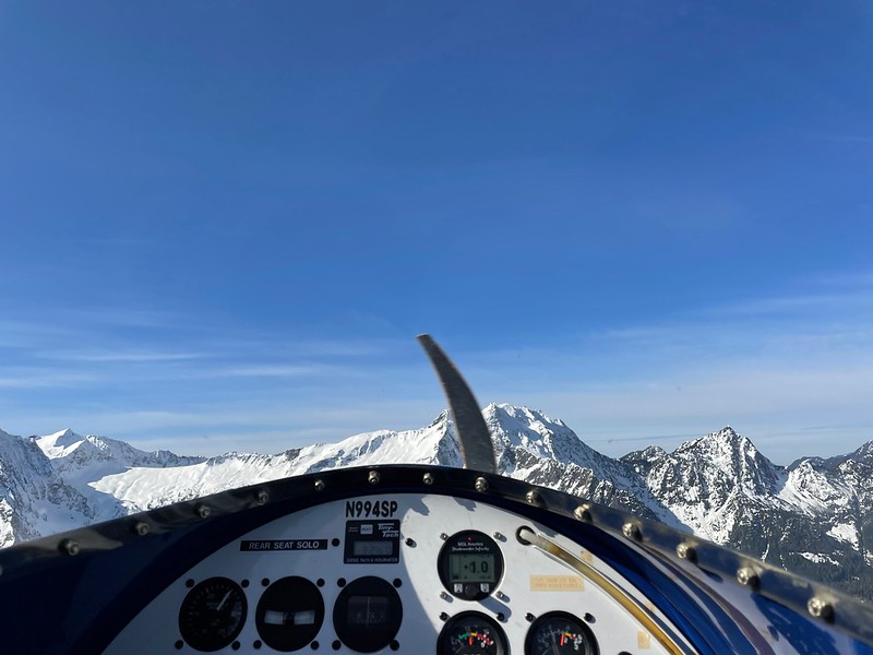
Howdy all. I am thinking about whether I should fly my 182 out to the phoenix area or grab an airline ride. I'll be coming in from almost directly east of Phoenix and noticed there were some mountains there.
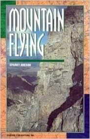
I have multiple hours flying gliders in the mountains in New Mexico, but I've never taken a cross country trip in a powered single engine across a mountain range. I'm IFR rated and the MEA is not that bad, tops out at 13k. I feel confident that I won't CFIT myself, but I'm just doing a sanity since GA safety articles and accident reports make a huge deal about mountain flying. Is there any good reading material or training I should consider before taking said flight?

I have multiple hours flying gliders in the mountains in New Mexico, but I've never taken a cross country trip in a powered single engine across a mountain range. I'm IFR rated and the MEA is not that bad, tops out at 13k. I feel confident that I won't CFIT myself, but I'm just doing a sanity since GA safety articles and accident reports make a huge deal about mountain flying. Is there any good reading material or training I should consider before taking said flight?