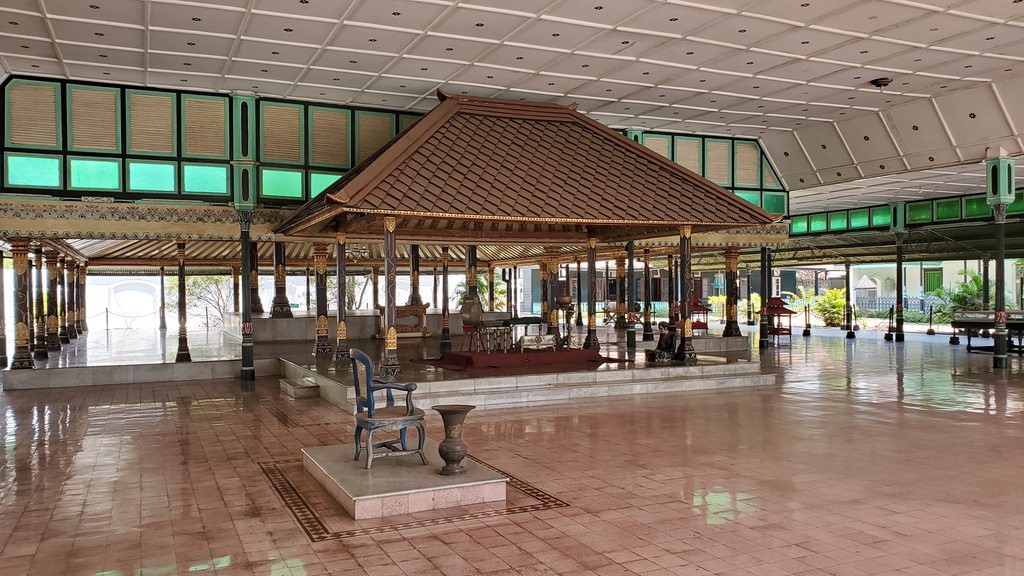
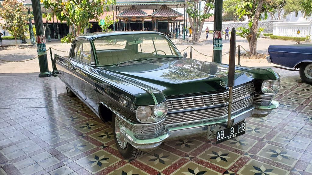
I skipped breakfast, although Juvy reported that it was delicious. Our first stop for the day was to be the Palace of Yogyakarta. This palace was constructed in 1756 and is the seat of the Sultan of Yogyakarta, who rules the special region of Yogyakarta as the only recognised monarchy in Indonesia. We were shown around by what seemed to be a semi-mandatory tour guide, who explained some of the history of the previous Sultans (all of whom, before the present Sultan, had many many wives) and also the function of the various ceremonial pagodas and other structures around the large, open palace area.
The Palace of Yogyakarta
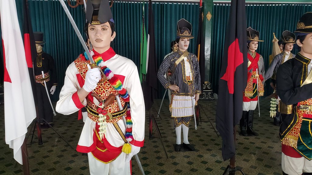
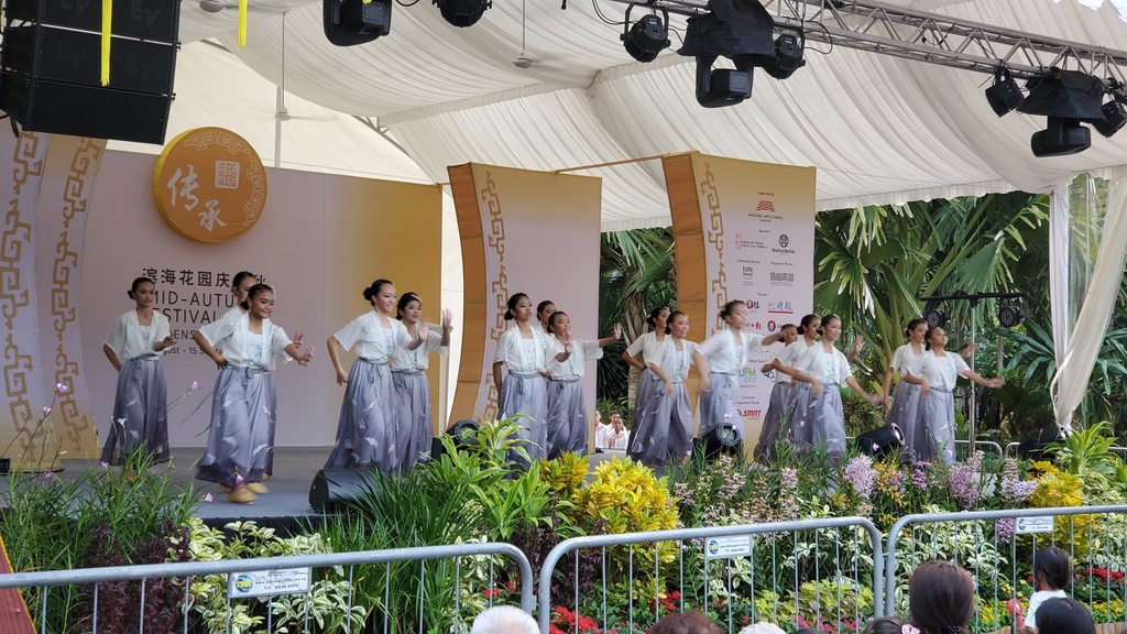
Traditional dress at the Palace
A gift to the Sultan, from the US
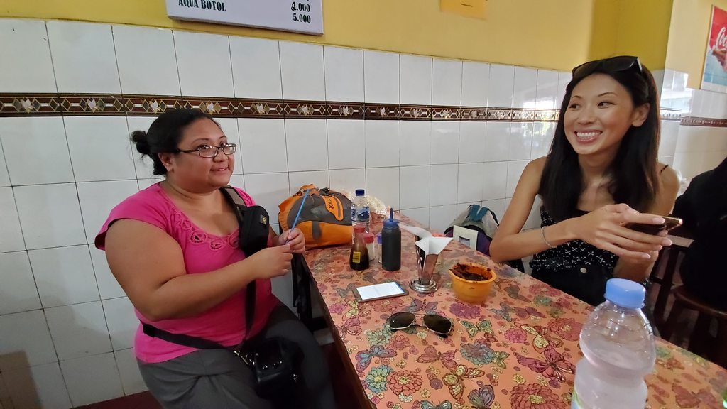
During the visit, Juvy got chatting to a lady from China; both of them had fancy cameras. She was out exploring South East Asia, and joined us for lunch at a nearby restaurant.
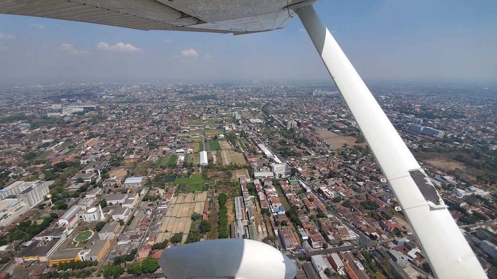
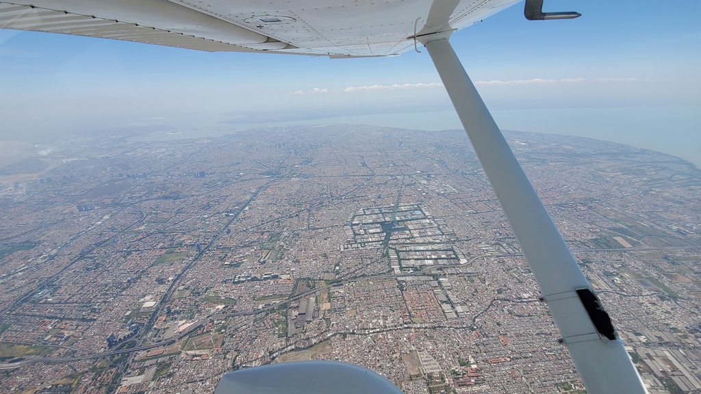
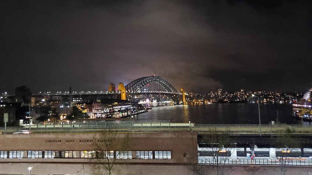
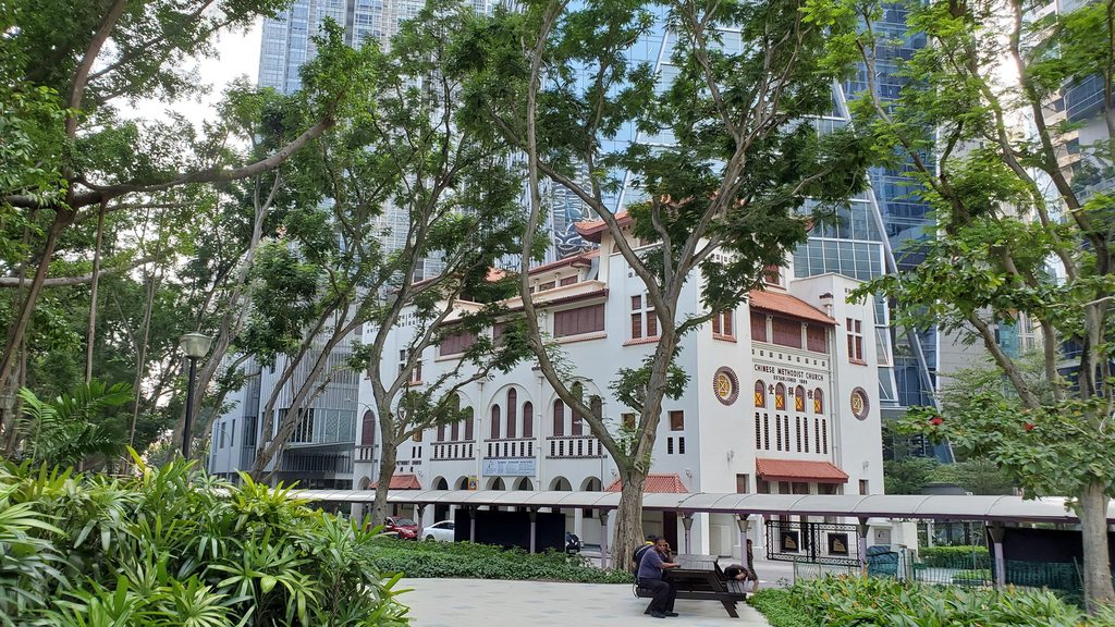
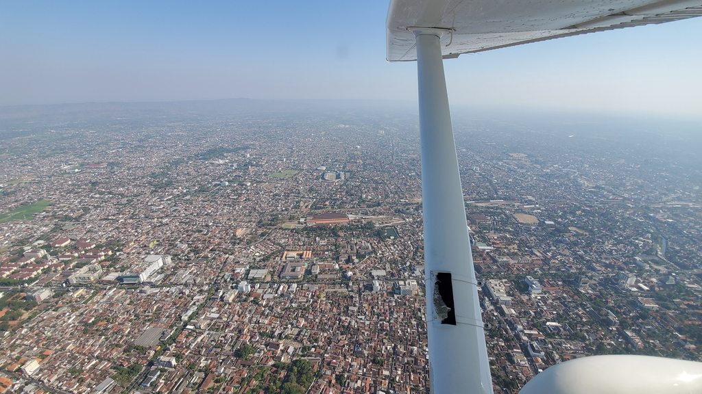
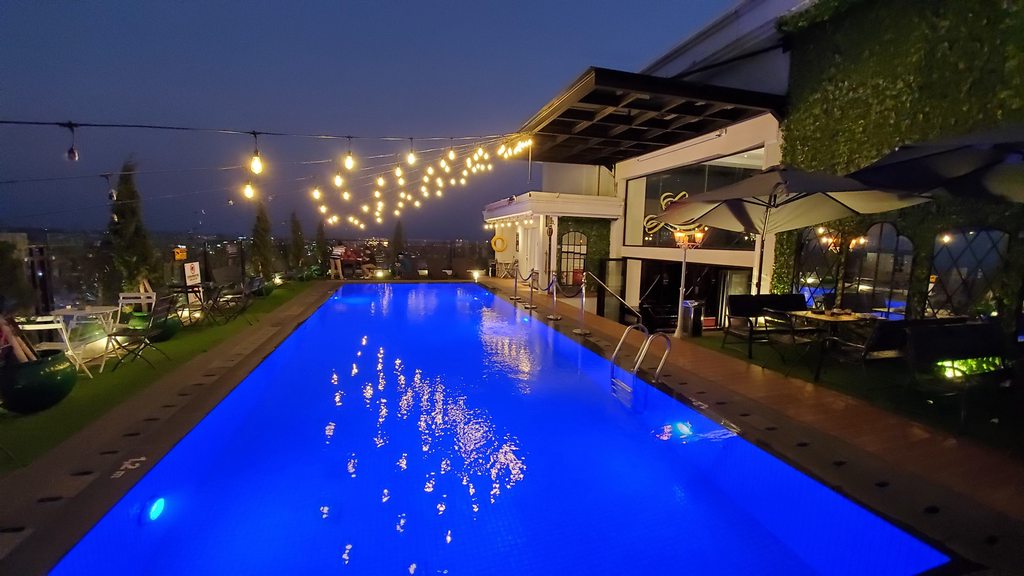
Central Yogyakarta

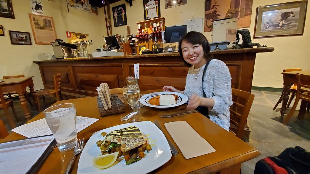
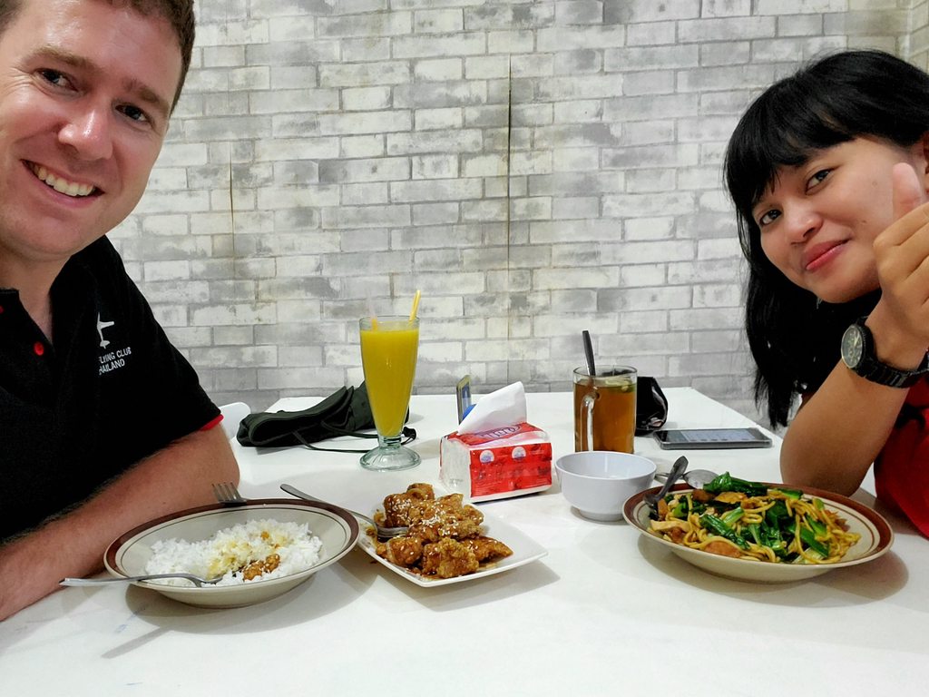
Lunch in Yogyakarta
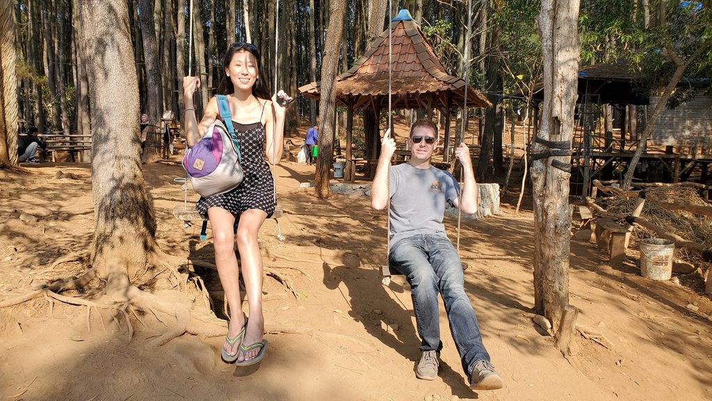
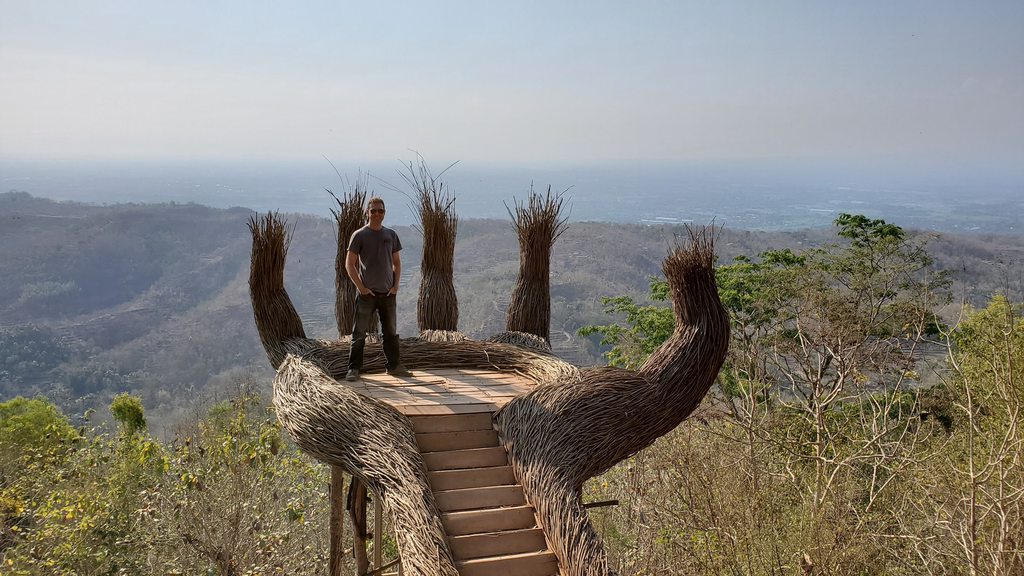
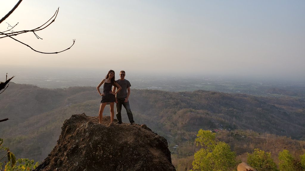
We didn’t have much in the way of afternoon plans yet, so we decided to team up and the three of us set off in a Grab to visit the Pinus Pengger. This hilltop pine forest, about an hour outside of the city, is renowned for the elaborate sculptures that the resident artists create primarily out of the pine boughs themselves. While limited in number, the sculptures were certainly impressive with the more renowned ones having their own small entry fee and queue of people waiting for their turn to take another identical photo for Instagram!
"Hanging out" at Pinus Pengger
"I am Groot"
We had some drinks in one of numerous identical cafes overlooking the valley, before walking back to the entrance and trying to get a ride back to the city. After half an hour things were starting to look a little desperate; the location was a bit more remote than we’d realised; but finally somebody accepted our ride request and off we went. He earned himself a large tip, given how thankful we were to be finding our way home!
Sun setting over Pinus Pengger
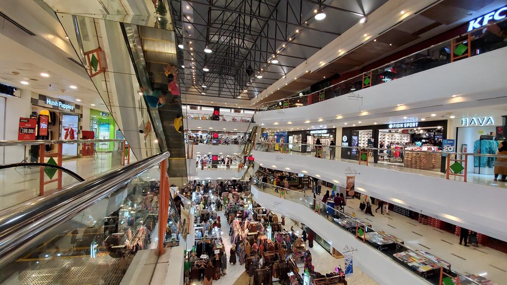
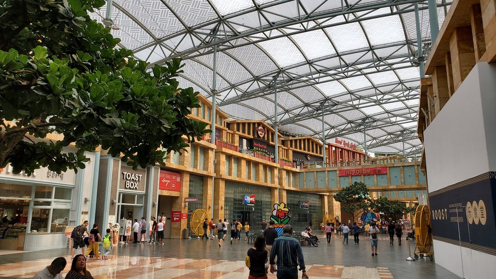
After a brief stop at the hotel to relax we headed for the largest mall in the city for a meal, as it was close to where our new friend Jia had left her rented scooter. A post-dinner search for the scooter revealed that the scooter parking area she’d left it in turned into a market at dark, and it had been moved away to parts unknown. A lengthy search eventually located it, remarkably far from where it had been parked, and that was the excitement done for the day.
Dinner in the main mall in Yogyakarta
=============================================================
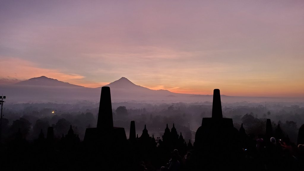
We left the hotel at 3:30am. I didn’t regard this as a terribly good idea, but Juvy was adamant that the only way to see the Temple of Borobudur was as the sun rose over it. The hot and humid conditions of Malaysia and Singapore had gone, and it was surprisingly cool at this time of the morning. I hadn’t thought to bring warm clothing! The temple was about an hour’s drive away, and on arrival we were given tickets and torches (“flashlights” for any confused Americans reading this; we didn’t wander around with flaming sticks, although that would have added to the experience). We set off to follow the sporadic trail of tourists heading in the direction of the temple.
Sunrise at Borobudur
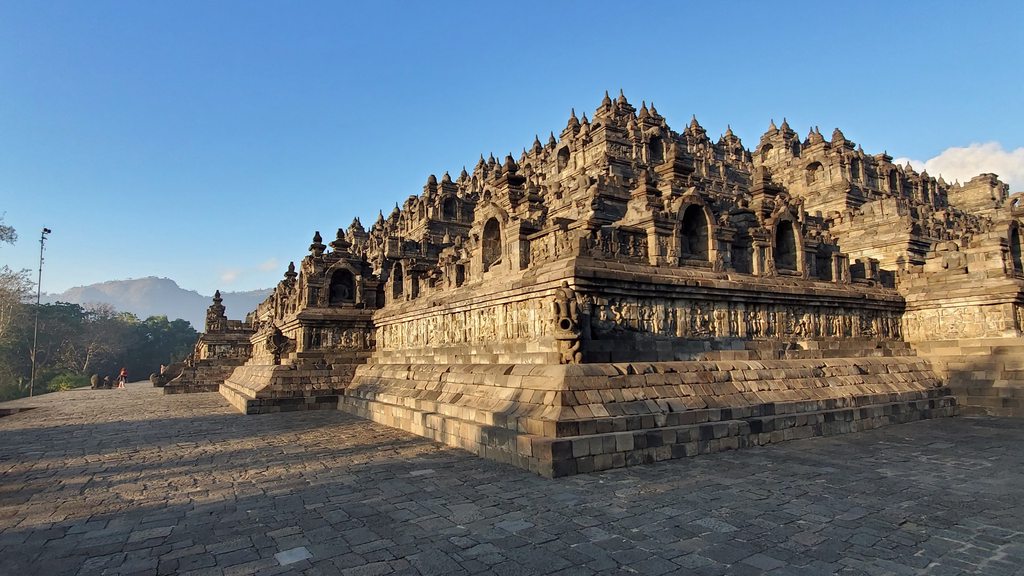
Borobudur
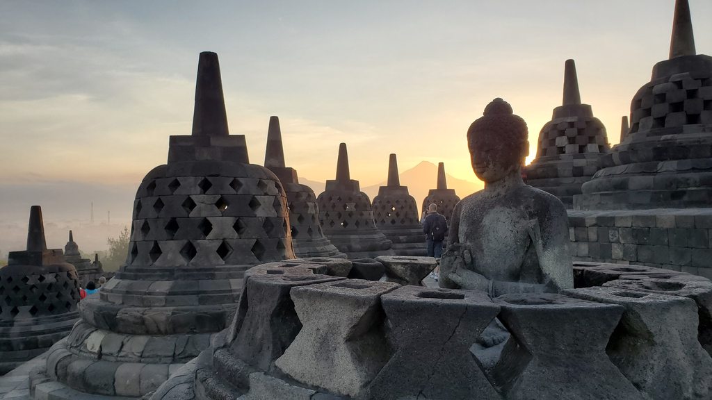
The Temple of Borobudur dates back to the 9th century, and is the world’s largest Buddhist temple. It consists of nine stacked platforms, with no fewer than 504 Buddha statues. I left Juvy to scramble around preparing photograph angles, and made my way to the top level on the east side, to await the dawn. Soon, a glow appeared in the night sky behind the volcanoes in that direction, and the sun gradually hauled itself into the sky. There was no denying that it was a beautiful sight! As the sun rose, the throng of tourists milled about taking Instagram selfies, all wearing the same identical loose trousers with elephants on that they’d bought in some market. Being a tourist myself, I couldn’t be too critical.
Temple of Borobudur
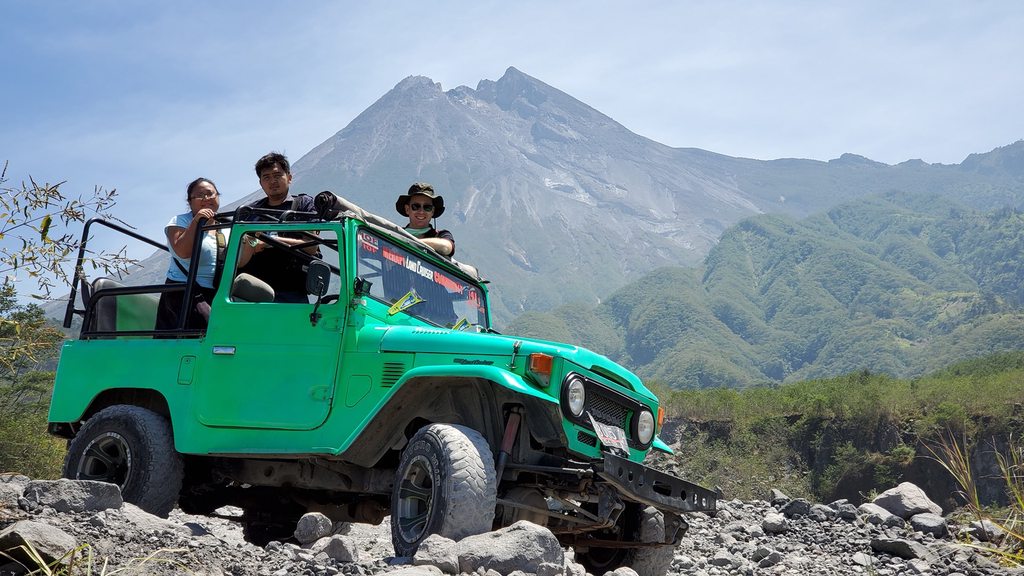
After touring the temple, we treated ourselves to the breakfast that was included in the ticket price, and returned to the car. Joan, the driver who was looking after us for the day, was waiting and we set off for stop number two, a Jeep tour on the lower slopes of Mount Merapi. This volcano, the most active in Indonesia, has regularly erupted since the mid-1500s. I crossed my fingers that today would not be the day; and thanks to the thorough monitoring that the Indonesians now carry out on the volcano, our chances of making it through alive were good. As we neared the volcano, the varied businesses along the streets seemed to give way to nothing but a mass of Jeep tour companies. The one that Joan took us to had vintage Toyota Landcruisers, and we organised one for a couple of hours and set off.
Landcruising at Mt Merapi
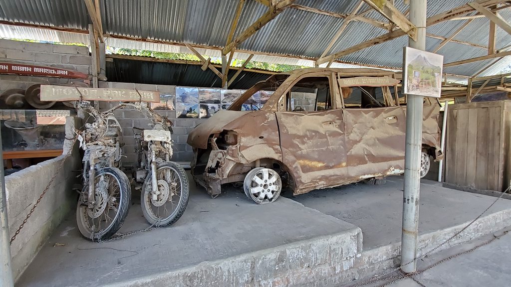
Given that the price was for one vehicle, we asked Joan if he’d join us in the extra seat. The three of us, plus our driver, stopped first at the home of Mbah Maridjan. He was the spiritual guardian, or “gatekeeper” of Mt Merapi, and was killed at the age of 83 by the pyroclastic flow during the 2010 eruption. His home can now be visited on tours, and has a number of displays of the devastation caused by the eruption.
Destroyed items at Merapi
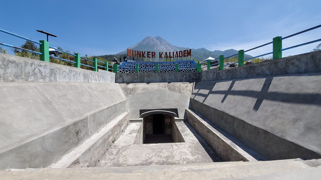
From here we visited an emergency bunker that had been built on the slopes of Mt Merapi, to try and provide protection to people during an eruption. In the 2006 eruption, this bunker was covered with over 6 feet of hot volcanic ash and rock; tragically, two volunteers who’d been helping evacuate people became trapped there and died from the heat before they could be rescued. Today the bunker is on display as part of the mountains history, no longer used for a refuge.
The bunker at Mt Merapi
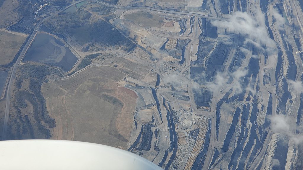
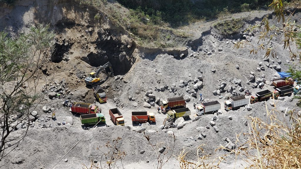
Our driver stopped the Landcruiser at an overlook, above a quarry on the lower slopes. The rock that had been deposited from the eruption was apparently in great demand, and a flourishing industry had developed in mining and selling it. A long queue of trucks snaked up to the excavator; something like a giant sieve was placed over each truck as it arrived to eliminate the largest rocks, and the excavator then loaded them through the sieve.
Quarrying the volcanic rock
The final stops were varied. The first was another overlook of the mountain; featuring a large rock that if you squinted just right had a face on it, and a man offering photographs with owls for $1. The next, a small museum showing some of the ruined vehicles and other items from the 2010 eruption, as well as photographs of the devastation and aftermath. The region had been battered by the eruption, the pyroclastic flow, ash fall, and mudflows; it was incredible how well it had bounced back since then. In 2006, a major earthquake had killed 5,000 people in the region, and the 2010 eruption killed more than 350. Still, people came back; many perhaps having little choice.
The final stop was to a river near the Landcruiser business. This was just an opportunity to drive around fast in the water and splash everywhere. Great fun!
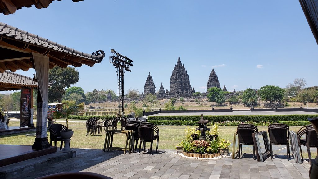
From the Jeep tour, we headed on to the Temple of Prambanan, and ate lunch at a lovely restaurant overlooking the site. This 9th century complex is the largest Hindu temple in Indonesia. The central of the towers is 47m high, incredibly impressive for such a stone structure. The complex was abandoned in roughly the year 930, most likely due to an eruption from Mt Merapi (as you’ll be starting to realise, the mountain has been one of the strongest factors affecting the region throughout the centuries!)
Lunch overlooking Prambanan
Prambanan Temple
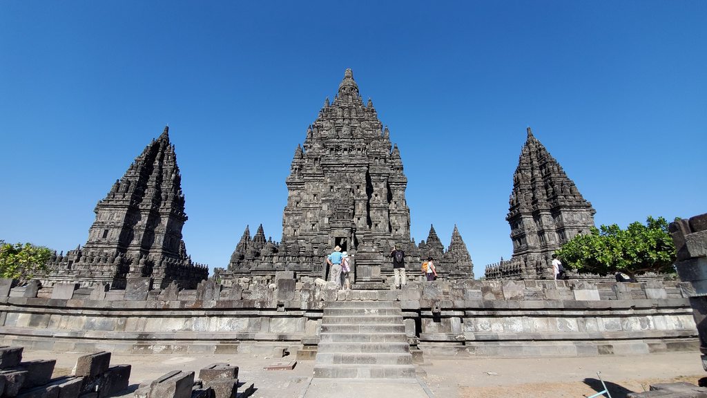
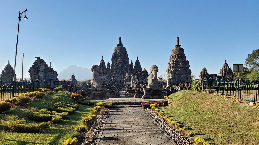
The locals, of course, knew all about the temple through the years, but its western “rediscovery” came in 1811 when it was chanced upon by a surveyor in the employ of Sir Stamford Raffles. Proper restoration did not start until 1930, and continues to this day. The site is also home to a variety of smaller temples, in various stages of restoration themselves, and an easy walk from the main temple. Other attractions include a small petting zoo!
Sewu Temple
Juvy met up with Jia, and the two of them attended the Prambanan ballet. I went my own way, taking a car to the town of Klaten nearby, to meet up with my friend Viana. I’d met her through the Cessna 182 Facebook group, and she had been very helpful in offering tips about flying in Indonesia, as well as where to stay and what to do in the Yogyakarta region. We had tea at her house, where it was fascinating to meet and talk with her father, before heading into the center of town for a great dinner at a local restaurant. After dinner we walked around the town for a while, before taking a car for a short tour of the city, seeing a couple of the impressive mosques. After a great evening I said goodbye, and headed back to the hotel. Tomorrow, another flight!
Dinner with Viana
")