Ed Haywood
En-Route
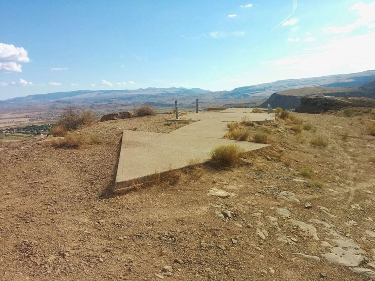
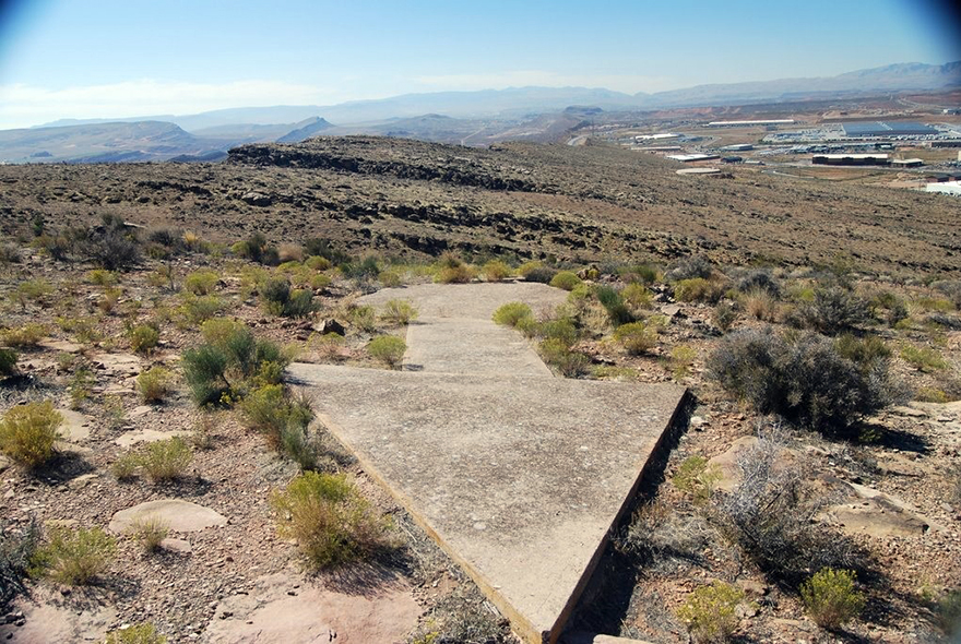
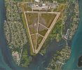
I am based at FD77, a private grass strip southeast of Tampa, FL. It was originally established as Wimauma Army Air Corps Auxiliary Airfield in 1938, and was used for fighter and bomber training during WWII.
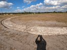
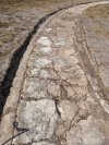
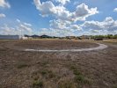
Apparently old airfields in those days were marked with a large circle for visibility from the air. During some recent research, the current field operator noticed a circle in some pre-war aerial photos. He did some digging and found it!
Pretty cool, I say. If you are in the area, feel free to stop by and take a look. There is a Veterans day fly in tomorrow from noon to 5 that will include some more history of the field.
Attachments
Last edited:


")