Palmpilot
Touchdown! Greaser!
Why you should have non-GPS navigation capability in your aircraft:

https://www.faasafety.gov/files/notices/2018/Jan/NTC_18-01L_GPS_Flight_Advisory.pdf
https://www.faasafety.gov/files/notices/2018/Jan/NTC_18-01L_GPS_Flight_Advisory.pdf
")
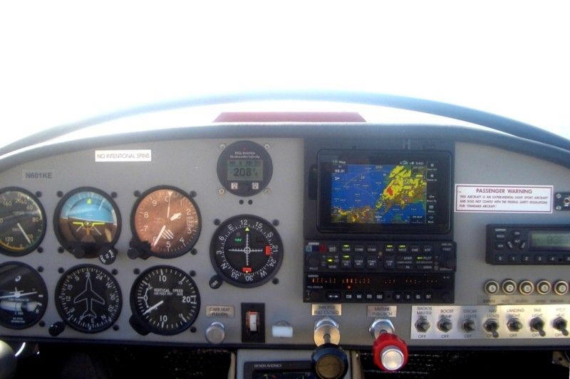
 That's why you should have two nav/coms in your plane.