Mnt. Hood and Adams.

Bob Bement

Pattern Altitude
Joined
Jun 27, 2005
Messages
1,814
Location
Vale, Oregon
Display Name

Display name:
Bob Bement
I flew home from the Portland area today. I took this picture of Mnt. Hood with Mnt. Adams peeking out from behind. In the distance is Mnt. Rainier. This is what my 696 looked like as I was approaching the top of the Cascades.
 

Attachments

  • IMG_4299.JPG
    IMG_4299.JPG
    241.5 KB · Views: 84
  • IMG_4295.JPG
    IMG_4295.JPG
    486.8 KB · Views: 73
Awesome day, wasn't it?

While goofing off, I took pictures of Rainier today, with Adams, St Helens and Hood in the background.

(Sorry, can't post them from this computer)
 
A few more pictures I took from the plane on my way back home.
 

Attachments

  • IMG_4300.JPG
    IMG_4300.JPG
    279.6 KB · Views: 32
  • IMG_4302.JPG
    IMG_4302.JPG
    334.3 KB · Views: 30
  • IMG_4306.JPG
    IMG_4306.JPG
    371.9 KB · Views: 28
Great Photos.

I lived in PDX for 5 years from 91-96. Enjoyed my time there, especially the brew pubs. Want to return sometime to experience it again (especially the brew pubs).
 
Nice shot of the mountains, Bob! A triple-play.

Yes - today was a good day to fly in the PNW. I also managed to do some flying and got some photos and videos. Don't want to hijack Bob's thread, though, so wont post on this one unless he's OK with it. I did get a distant shot of Mt. Hood from about 90 nm south at around 2 PM today - almost the same time Bob was taking his. Otherwise my shots were a mix from visiting three airports in one afternoon.

I won't mind if you post on my thread I would like to see them.
 
I used to live near Portland, actually Aloha, and took the back roads into Portland to work. There was one point on my drive where I rounded a corner and from that spot could see (on a clear day) Rainer, Hood, Adams and St Helens (pre-eruption). Beautiful from the ground must be spectacular from the air.
 
I won't mind if you post on my thread I would like to see them.

These were taken during the afternoon on the same day you were flying - from Creswell, OR (77S) to Santiam Junction (8S3) to Davis Field (6S4) to Wakonda Beach (R33) and back to 77S.

First image is as I am approaching Santiam Junction, which is near the center of the photo, and the snow covered peak in the background is, I believe, Three Fingered Jack (photo hog!)

Next two images are of Mount Jefferson taken on my leg from Santiam Junction to Davis Field.

Fourth image is a zoom shot of a distant Mount Hood, which by my estimate is around 60 nm away. (Jefferson was about 20 nm away, Three Fingered Jack somewhat less than 10 nm.)

Next three images are of a blackberry covered derelict Aztec at Davis field. Very sad (yes, the full N number is N4848P.)

Last two are during my entry into the pattern for Wakonda Beach, which can be seen in the center of the first two; the second is to the north - town of Waldport.

EDIT: Added screen capture of CloudAhoy track as the last image. I can't be accused of following any straight magenta lines on most of those legs!
 

Attachments

  • IMG_0223_s.jpg
    IMG_0223_s.jpg
    330.7 KB · Views: 14
  • IMG_0234_s.jpg
    IMG_0234_s.jpg
    323.7 KB · Views: 13
  • IMG_0235_s.jpg
    IMG_0235_s.jpg
    164.2 KB · Views: 14
  • IMG_0236_s.jpg
    IMG_0236_s.jpg
    205.9 KB · Views: 13
  • IMG_0242_s.jpg
    IMG_0242_s.jpg
    565.2 KB · Views: 16
  • IMG_0244_s.jpg
    IMG_0244_s.jpg
    500.9 KB · Views: 14
  • IMG_0245_s.jpg
    IMG_0245_s.jpg
    551.4 KB · Views: 14
  • IMG_0262_s.jpg
    IMG_0262_s.jpg
    325.3 KB · Views: 15
  • IMG_0263_s.jpg
    IMG_0263_s.jpg
    236.7 KB · Views: 12
  • cloudahoy_jml_131029.JPG
    cloudahoy_jml_131029.JPG
    355.1 KB · Views: 15
Last edited:
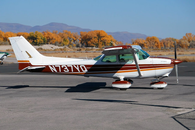
Here are some from this past weekend (Thursday afternoon - Monday afternoon):

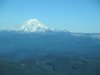
I’ve flown from home base in SW Washington to Arizona many times, but never so late in the year. This was definitely the prettiest trip of them all, and probably the smoothest.

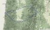
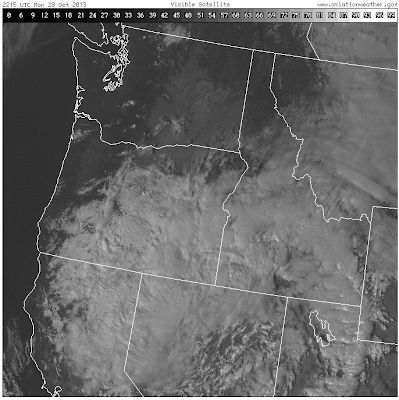
The only glitches were a two-hour delay leaving Klamath Falls, Oregon (an overnight stop) early Friday morning because of frost on the airplane; and on the return trip, weather forced me to go the long way through California, and halted my northbound progress at Redding Sunday afternoon. That low was still dropping snow and low ceilings over the I-5 corridor in the Siskiyou Mountains Monday morning, so I did an end run around it to the coast. It was slow going northbound into the headwinds, but surprisingly smooth.

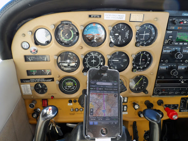
17.6 hours total round trip.

GYR-131024_route.jpg


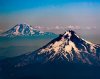
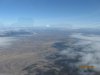
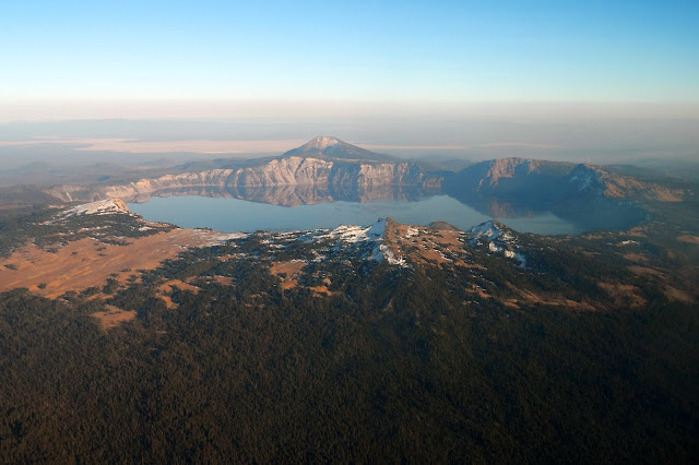
Crater Lake, Oregon:

SAM_1517.JPG


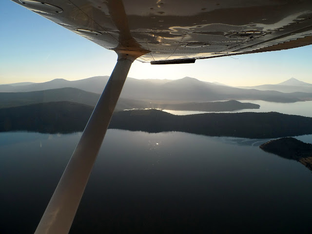
Klamath Lake, Oregon:

SAM_1529.JPG


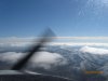
Near Klamath Falls, Oregon:

SAM_1536.JPG


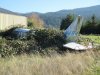
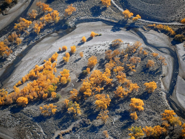
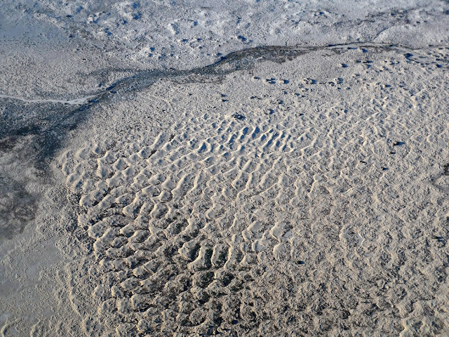
Yerington, Nevada (cheap fuel!):

SAM_1551.JPG


SAM_1557.JPG


SAM_1559.JPG


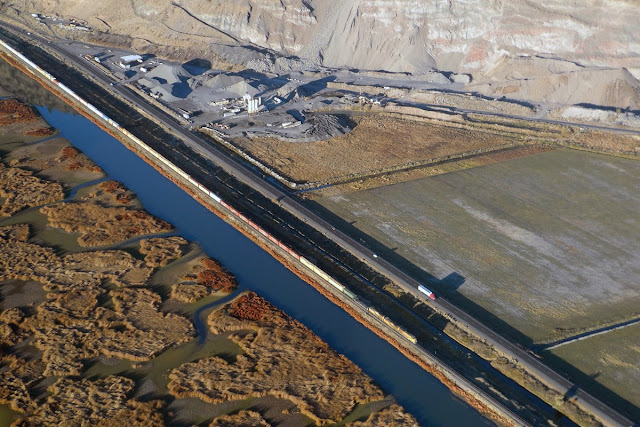
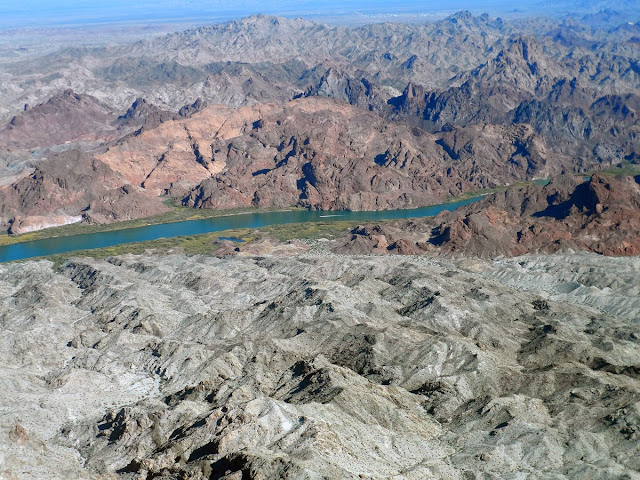
Colorado River, south of Needles, California:
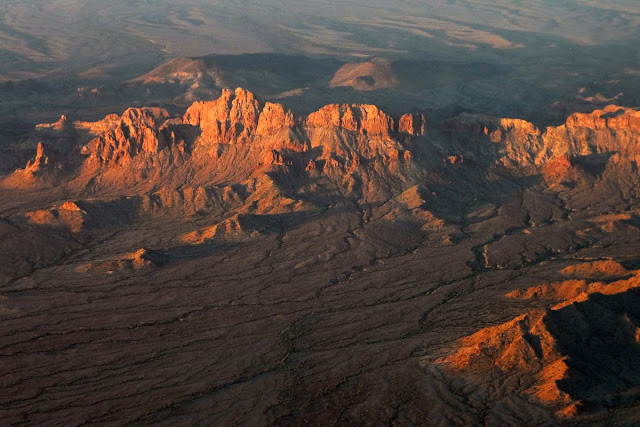
SAM_1573.JPG


Arizona sunrise:

SAM_1609.JPG


Near Desert Center, California:

SAM_1625.JPG


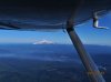
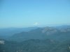
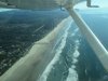
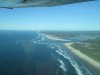
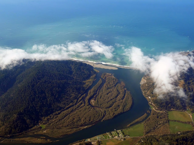
Fortunately the coast was clear ...

Screen%2520shot%25202013-10-28%2520at%25205.08.44%2520PM.png


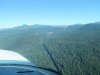
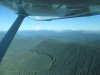
North of Arcata, California:

SAM_1651.JPG


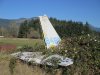
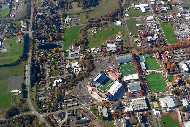
Corvallis, Oregon (Oregon State University):

SAM_1657.JPG


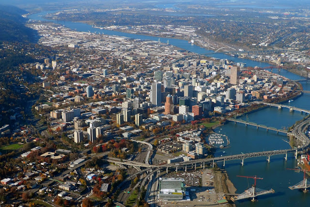
Almost home -- Portland, Oregon:

SAM_1660.JPG
 
Yesterday was a nice day to fly in Washington. Unfortunately, mine was riding in the back of a Q400 from SEA to PUW in the morning and back in the afternoon. Smooth flights, that's for sure.
 
While you were flying, I had to drive through the area that day. But, here is one I took a couple of months ago...
 

Attachments

  • HLR_1164-3 (Medium).jpg
    HLR_1164-3 (Medium).jpg
    100.7 KB · Views: 7
Back
Top