flhrci
Final Approach
Nuff said, get it now!
David
David
Great new stuff... but Hazard warnings only available with PRO subscription... that ain't right!
Hint to Tyson... offer a discount to the big upgrade when the big releases come out.
Why? The price is the same as it has always been, and they're offering to credit any remaining non-pro subscription toward the upgrade to pro. I doubt that they feel a need to buy market share with discounts.
That being said, I'm not sure how much value the terrain database brings without the colors, so why not just call terrain a "pro" feature? I don't have the pro subscription, and the terrain map becomes extraordinarily blurry and pixelated when zoomed in to any useful degree; not sure whether this is a problem with the app, or a result of not having the "pro" subscription.
JKG


How do I know which subscription I have?
 I don't want to have to switch to garmin pilot. https://buy.garmin.com/shop/shop.do?pID=93601
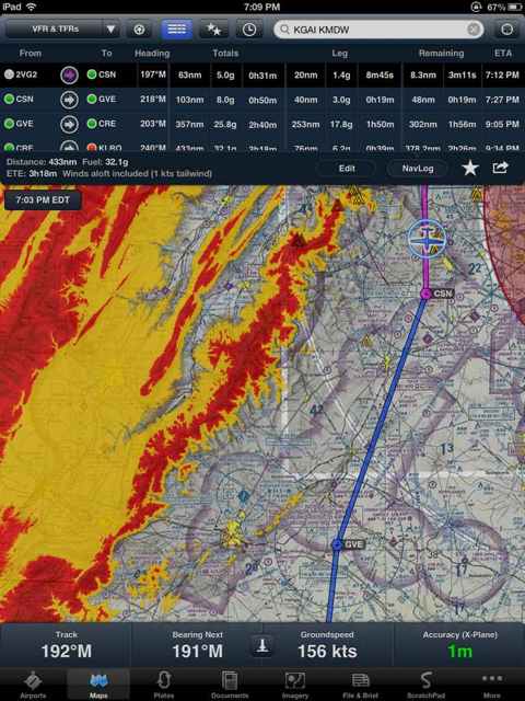
Click "more" in the bottom right corner of the normal Foreflight window. Then tap "account" on the list of options on the left. The information on the right will show your subscription status as Foreflight Pro.
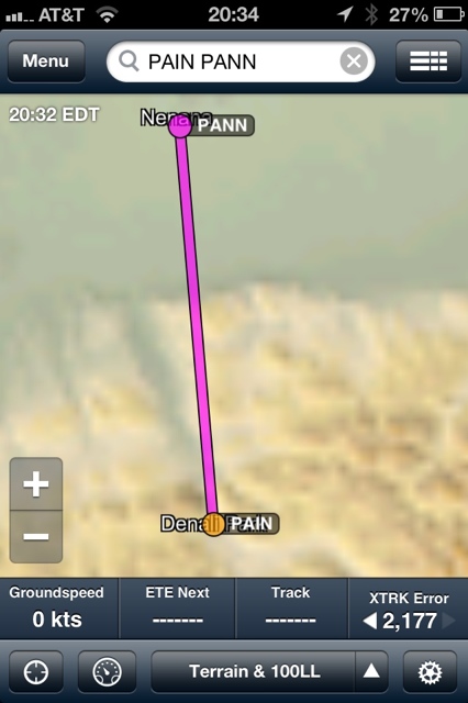
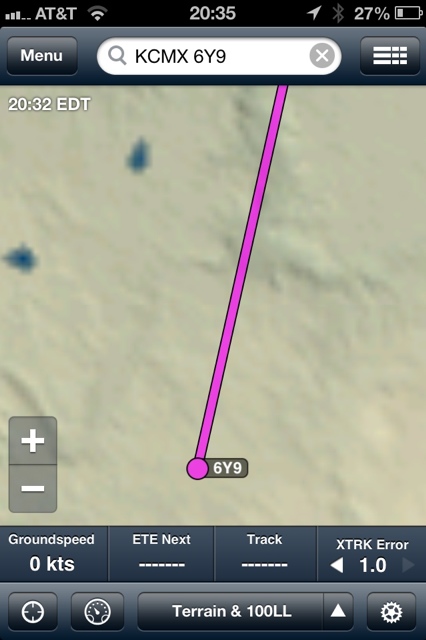
Is it just me or is the terrain resolution almost unusable? Do I have a bug?
The terrain map is the same way on my retina iPad. Not sure how it is of much benefit, but it would appear that the color-coded terrain that appears on the "pro" version is high resolution.
The terrain map is the same way on my retina iPad. Not sure how it is of much benefit, but it would appear that the color-coded terrain that appears on the "pro" version is high resolution.
JKG
Is it just me or is the terrain resolution almost unusable? Do I have a bug?
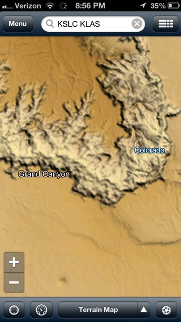
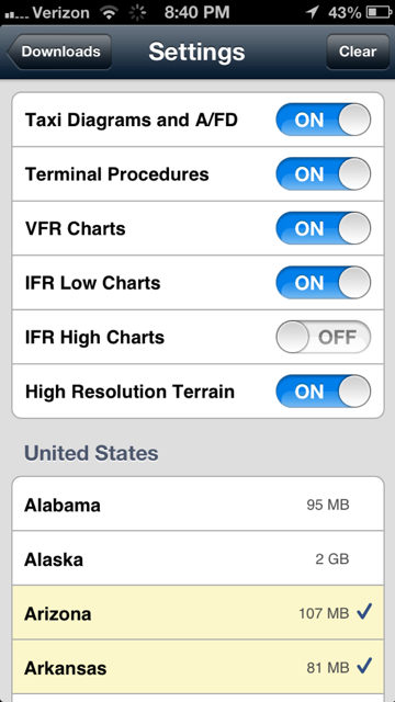
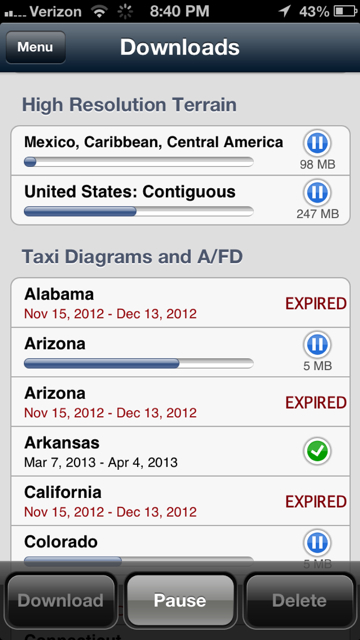
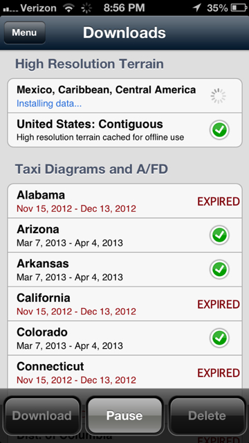
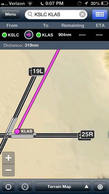
I've got the hi res terrain downloaded and turned on, but I'm not seeing it.
Do you have an iPad2 or higher?
Do you have an iPad2 or higher?
Yep...iPad4 Retina
I've recreated all the screenshots of terrain maps that folks have posted here on my ipad3 and they all look the same on my machine as they do on yours. Leads me to believe we're all getting the high resolution maps (assuming it IS properly set to download), but we're just expecting it to be higher resolution that it really is.
It's just not going to be perfectly sharp at the highest zoom level. But, zoomed out to the state-level it looks pretty decent in any mountainous area.
Very good update, although I am slightly disappointing with pattern planning tool (not that I plan on using it). They give you an option for all kinds of entries, but they forgot the overhead