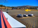
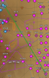
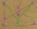
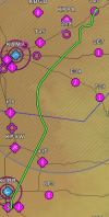
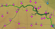
Finally … some topography. Got to plane at break of dawn. Somehow got swarmed by mosquitoes on a cool North Dakota morning. FBO was super-attentive. First the FBO manager came by to check on me. At first I thought he was an FAA FSDO inspector. Later a line man came by and asked if I needed anything. By then I had noticed a big accumulation of bugs, but it was also dewey, and they came off easy. So I asked for paper towels. He brought me two bath towels and a can of Prist.
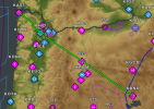
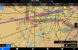
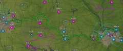
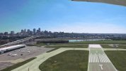
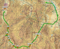
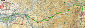
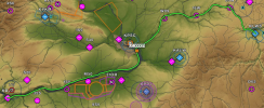
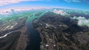
I asked for a northwest departure off rwy 31, which took me straight to the river, but it meant there were a few miles of the river I didn’t fly over.
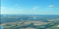
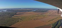
I headed up the river toward Washburn, which is where the interpretive center and Fort Mandan are, then near Fort Clark. Sure enough, the circular remnants of the Mandan’s earthen homes were clearly evident, especially in the low early morning sun.
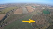
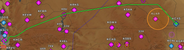
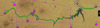
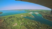
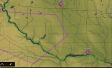
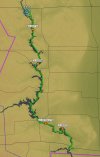
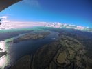
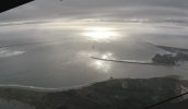
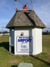
I continued NW and I hit my first dam of the day, which forms Lake Sakakawea (yes, the spelling and pronunciation varied over the entire trail). That lake is about 100 nm long, with the riverbed finally re-emerging just S of Williston, ND. I flew on west to Wolf Point ND for fuel, encountering an unexpected 8-seat airline check-in/waiting area. Wolf Point (OLF) is served by Cape Air out of Billings. I had hoped to find something to eat for lunch, but they only had a Coke machine, so I dipped into my on-board rations for in-flight meal service: a crumbling Pop-Tart, some dates, and chocolate Yoo-Hoo! Just prior to Wolf Point I reached the northernmost extreme of my journey at 48
o 8’ N.
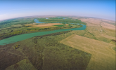
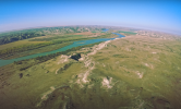
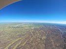
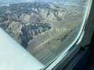
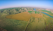
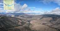
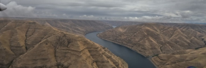
Leaving Wolf Point, in about 30 nm I arrived over Ft Peck, and my last dam of the day (I thought). Ft Peck Lake is another 100 nm lake, but when I reached the end of it I finally encountered some topography and rapidly rising terrain on both sides of the river.
I was originally planning to go all the way to Helena from Wolf PoInt, but I was getting tired and my butt hurt. I considered stopping at Heller Farm (L51), as suggested on my planning thread. It is a cool strip, right on the river, with a bunkhouse you can stay at, but I did not want to risk getting stranded, so I pressed on to Ft Benton (79S). (Good Heller Farm video by another POAer here:
)
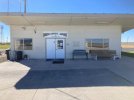
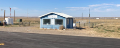
Ft Benton (79S) has a small (20’ x 20’?) terminal building, but it was locked with a key pad and no clue what the code is, or a phone number, or a soul in sight. I found a spot out of FOV of the security cameras (I hope) but in full view of the highway to take care of nature, then re-configured my camera from inside the cabin to under the wing. It had been inside to charge the battery from Wolf Point to Fort Benton.
By now it was mid-afternoon, and the DA was over 5,000’, so I leaned for max RPM per the checklist, and took off. A few minutes later saw a warning light for CHT #4. I immediately went full rich, throttled back, and pitched down. The temp came down pretty quick, and I slowly combined throttle, pitch, and leaning to coax a 300 fpm climb rate at 400o F.
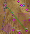
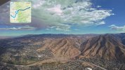
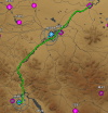
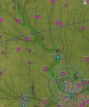
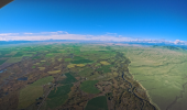
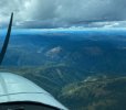
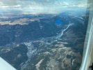
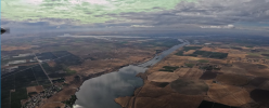
West of Ft Benton was Great Falls, Montana (GTF), I overflew Malmstrom AFB (GFA) where I had been TDY in 1997, and went S of GTF, and followed the river toward Helena. Helena sits in a bowl, so I had to climb up over the lip of the bowl, and then back down, reaching my highest altitude since leaving ALN, about 7,500’. There were more dams on the river in the mountains making some very beautiful lakes. Unfortunately I did not tighten my camera well when I re-mounted it under the wing, and it rotated to shoot straight down, so all my photos of this leg look like overhead satellite reconnaissance imagery.
I wasn’t getting down fast enough, so I had to do an aggressive slip to an extended base to 27. Caught an Uber to my hotel and walked next door to Subway inside Walmart for supper.
Today I learned more about the effects of density altitude.
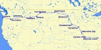
Three legs, 5.6 hrs, 655 nm.
Corps of Discovery took 120 travel days to cover the same route, not counting the five months they spent at Fort Mandan.


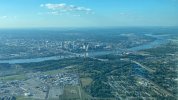




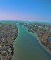
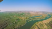

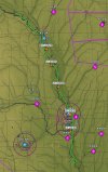






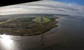


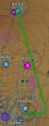
 I have flown the part of the river you missed in Bismarck countless times. You just missed the city


 :