Circles and Maps

AggieMike88

Touchdown! Greaser!
Joined
Jan 13, 2010
Messages
20,805
Location
Denton, TX
Display Name

Display name:
The original "I don't know it all" of aviation.
When Runway Finder was online, one of the features I liked was the ability to have it draw a circle with a specified radius on the chart I was viewing.

Something like KDTO:30 would draw a 30nm circle centered on KDTO.

What other existing product out there mimics this feature?
 
avnwx.com can do that, but it's backwards from what you want, presuming you're looking for cross-country destinations.

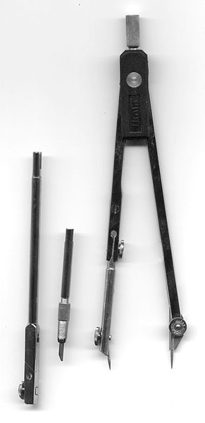
And there is always one of these:
291px-Cyrkiel_RB1.jpg

File:Cyrkiel_RB1.jpg
 
Last edited:
No circle but...tap the screen on Foreflight and it shows me 4-8 nearest airports anywhere from 10-20 nm away. Same with my G430W or 496 NRST function. I still keep expired sectionals just for the big picture and redundancy on trips. Add a compass like above and you are set.
 
i miss that functionality too in an online tool
 
Www.gcmap.com does it, but I have not been able to show any other landmarks other than what is at the center of the circle, which limits its usefulness.
 
i have a set of those to but they are hell on the surface of my monitor screen.
 
i have a set of those to but they are hell on the surface of my monitor screen.

You should see the old computer screens I used to have before I discovered the backspace key.

Couldn't see anything after a few weeks of use due to all the white out I used.
 
Back
Top