drummer4468
Pre-takeoff checklist
- Joined
- Jul 5, 2020
- Messages
- 305
- Display Name
Display name:
drummer4468
Hi all,
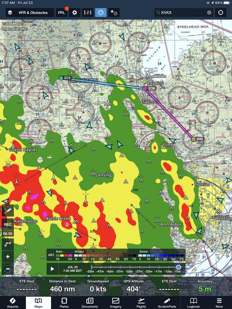
Working on a project, developing an aviation weather course focused on long-distance XC planning and decision-making. Finding historical METARS is easy, but I'm wondering if anyone knows of any sites/apps where I can graphically plot courses radar overlays from days/weeks in the past. I think it would make it more conducive to build real-world scenarios of unfriendly/unforecast weather and deteriorating conditions.
Thanks!