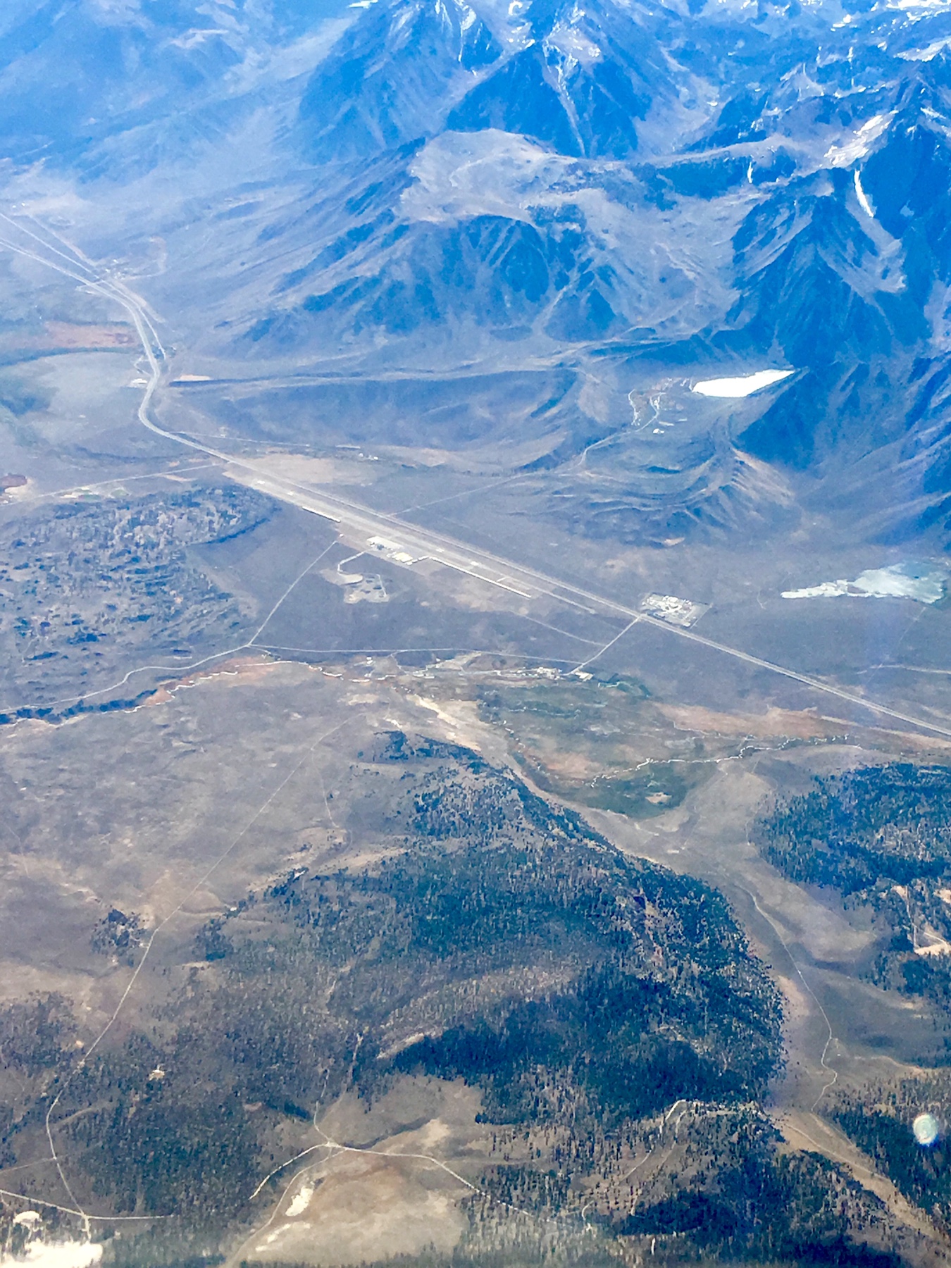
Pray for calm winds or else hope your pax have a high tolerance for turbulence. Also, consider landing in Bishop and renting a car to go the rest of the way (usually less than an hour). Enterprise in Bishop can usually do a drop off car for you by the tower base. Learn everything you can about MMH because the surrounding terrain makes any wind interesting there.
It is not always windy through the valley. What you want to pay attention to are the wind speeds coming over the Sierras from the West. If the wind speeds are over 15 -20kts, it probably won't be comfortable through the valley. Some guys have higher tolerances.
Check the winds aloft @ 10k, 12K & 15K, maps here:
http://aviationweather.gov/adds/winds/
There is another website for wind reports over the Sierras, but I can't find the link. A lot of good posts on flying the Owens Valley over on AOPA forums.
CharlieTango on this forum flies (or used to fly) an LSA out of Mammoth. Look up some of his posts.
An understanding of flying in the mountains, and mountain wave, etc. is very important before you go.
Having on board O2 for everyone onboard is helpful in case you need to climb high to escape the turb. There have been times that I've gone to 16,500 to find smooth air. Enjoy your trip.
") .
.