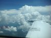
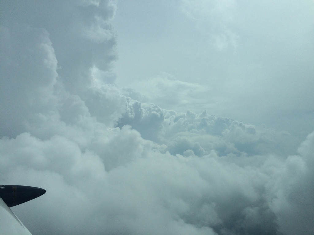
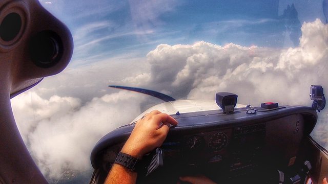
I flew into what I can only guess was a microburst a little while back over Colorado in a Debonair in IMC (70 plus miles east of the Rockies). At the time I was about 25 miles from any real nasty radar return and was in IMC in what was "green" on the NEXRAD.
I think I was around 8,000 feet MSL, ground level was 4,600 ish. We were flying through some light chop. I was actively communicating with ATC about what they saw on their radar and watching my nexrad feed very closely. I looked down at my iPad for a brief period of time and looked up again to see the S-Tech autopilot's trim alert going off and the airspeed falling rapidly along with the VSI down and the altimeter unwinding. I disconnected the autopilot, shoved the prop to full RPM, and pitched down regain airspeed then informed ATC I was unable to maintain altitude and I'm descending in a full power climb. Down we were coming whether or not I wanted to. Not much I could do other than wish like hell I had a turbo and more displacement. After about 700 ft of altitude loss we regained the ability to maintain altitude.
I then removed the seat from my ass, verified I didn't **** myself, and decided perhaps we should swing about another 20 degrees left. Be careful up there, the moment you think you have things figured out, is the moment mother nature decides to show you that an IO-470 at full power isn't ****.
I never did observe a rapid increase in airspeed before the rapid loss. But perhaps I missed it...
That sounds like it could have been a microburst if summertime. Most are dry since the outflow air has given up all its moisture and is now returning to Terra Firma.
Given the distance from the mountains, if it were winter it could also be the line where the downwind mountain wave was hitting the plains.
What were the winds aloft that day? Big westerly? Did you have a nice tailwind?
If it was winter, my money would be on the wave. If summer, microbursts and convective stuff.
The same wave that takes gliders at Boulder into the flight levels in their little box where they're allowed, comes smashing down onto the plains a ways out east of cowtown. People do forget that.
You were further east than my place but I'm outside of the Denver "bowl" to the east and wind, continual wind, is pretty much commonplace here. It's almost rare to not see a standard 4 x 6 flagpole flag standing straight out.
There's also a gap of airports and weather reporting stations from about a north south line from Ft Morgan through Limon where just west of there the stuff is always happening, big summer and winter, but there's nothing there to see or record it. Nothing in that gap until you get to KFTG and that's where the NWS Doppler sits, on a small tower. (FAA/Mil radar sits atop the hill just east of E470 and Smoky Hill Road, much further southwest of FTG.)
Both phenomena happen with "dry" air so they don't show up at well on radar. The Doppler radar folk can sometimes see it if the dry is colliding with moist as a shear and direction change, but I've never seen a way to see that mode of the radar full time. I think they have to manually do that.
In winter, one trick is to go to the NWS Boulder soaring forecast page. (Yep. There's a whole page for that.). If the wave is there, it'll be bouncing off the dirt somewhere out east too.
The really scary stuff is when the microburst is over the approach end of the airport. But I've told that story before and I know Clark has been there, done that, too. Not real fun.
It's always heartwarming to know Dr. Fujita did most of his studies on tornadoes and microbursts at the modern day location of DIA. The F-scale and later of course the EF scale for tornado damage is named after him.
")
I'm still amazed one hasn't ripped the tent off of the terminal roof yet.
Back before it was there if you departed FTG or Aurora Airpark (closed) northbound in summer you were just guaranteed to get your ass kicked in turbulence over where modern day DIA sits.

 It's overkill, but it's my personal minimum. Unless I know there is a clean line b/t me and the destination, I won't go. I don't generally fly more than a few hours distance, and I have ADSB and a stormscope. I try to go early or late in the day to avoid convective activity.