Scenic flights around PDK/Atlanta?

Mike I

Line Up and Wait
Joined
Oct 10, 2010
Messages
612
Location
NYC
Display Name

Display name:
Mike I
Hey all-
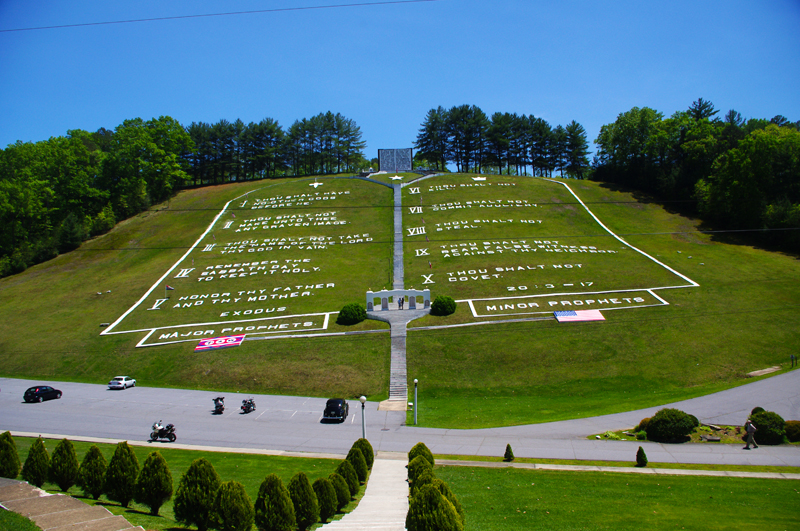
I'm in Atlanta for the holidays and am renting a plane tomorrow at PDK. I am taking up the girlfriend and two young cousins. Any suggestions of scenic/must-do things to see from the air or places to fly? I'm planning a quick 1hr flight, and definitely want to check out Stone Mountain, but am looking for more ideas. Thanks!
 
It'll take just a tad over an hour, but you can fly out to the east and circle Stone Mountain. Then head north over Lake Lanier and up to the north Georgia mountains. Come back south over GA 400 and call in to PDK when you're a few miles north of the King and Queen. They're two buildings where GA 400 and I-285 intersect. You'll know when you see 'em. Have fun.
 
It'll take just a tad over an hour, but you can fly out to the east and circle Stone Mountain. Then head north over Lake Lanier and up to the north Georgia mountains. Come back south over GA 400 and call in to PDK when you're a few miles north of the King and Queen. They're two buildings where GA 400 and I-285 intersect. You'll know when you see 'em. Have fun.
+1 That will cover most of the hot spots.:D Flying around downtown is really pretty with the cold clear air, the Georgia Dome is kind of cool from the air, just south of PDK, you may see it by accident taking off or landing. The mountains and lakes just north of Atlanta are pretty this time of year. :D
 
Thanks for all of the feedback. Had a great flight just as suggested. Rented a really nice 172 from Centennial Aviation via OpenAirplane.
 
I live in N GA.

There's a very nice road called the Cherohala Skyway*.

It runs from Tellico Plains, TN to Robbinsville, NC.

A flight along that, and maybe over Brasstown Bald (the highest point in GA) is quite pretty.

For anyone of even a slightly religious bent, check out "Fields of the Wood" - a giant Ten Commandments and park in the same area:

10-Commandments.jpg


Easily seen from the air. Check it out on Google Earth for another surprise!


*name is due to the fact that it runs from the CHEROkee National Forest to the NantaHALA National Forest.

How did the airplane get there?
 
On the satellite view it looks like there might be an old landing strip just to the north.
I'll have to plug those coordinates into my GPS and fly over that way when I'm up visiting my brother some time.

Was able to figure out the coordinates to be:

Lat 35.120598
Long -84.250142

or

35 deg 7' 14.15" North
84 deg 15' 0.51" West

whichever format you need.

7.5 nm NE of 1A3 Martin Campbell Field, Copperhill TN
 
Last edited:
Back
Top