rmciottijr
Line Up and Wait
Hey everyone,
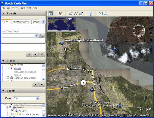
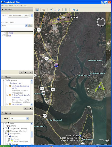
I have a friend that is in need of a map (google, mapquest) that will show roads, towns and also mark out airports. This person is not a pilot so it would be difficult for him to use Flyagogo.net. What he would like to find are airport that are close to towns, and/or off of an interstate.
Thanks for the help in advance,
Bob