Understand. So if you're at MIA and go lost Comm, why does this 7110 document tell the controller you're *going* to climb to MEA?
")
It's written as a flat statement that you will. Will everyone truly climb? MEA. Expected. Assigned. Highest of those three.
But I bet lots of people don't think to climb in that scenario... "vectored" (I put it in quotes to make everyone happy...) below MEA on an airway...
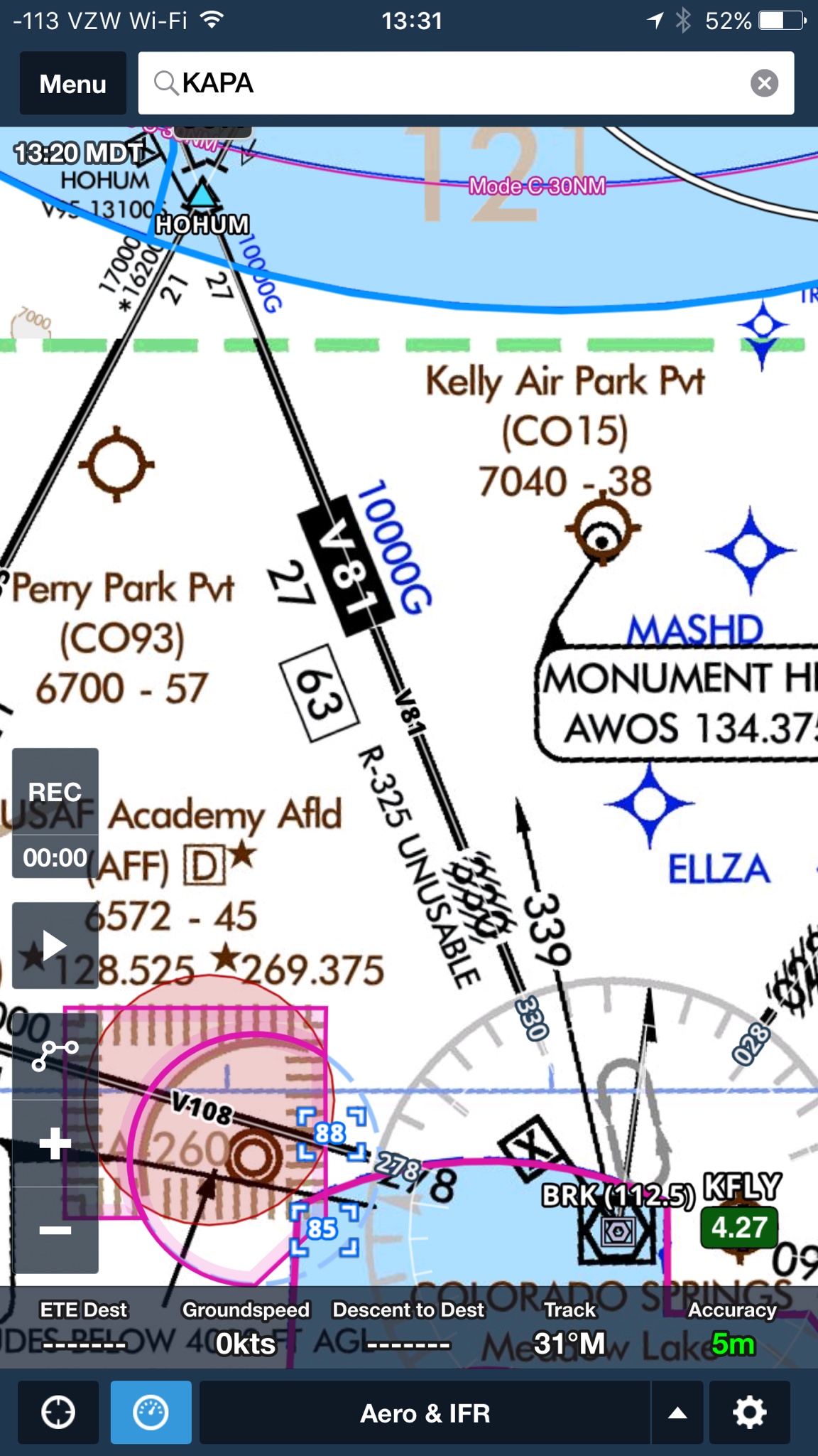
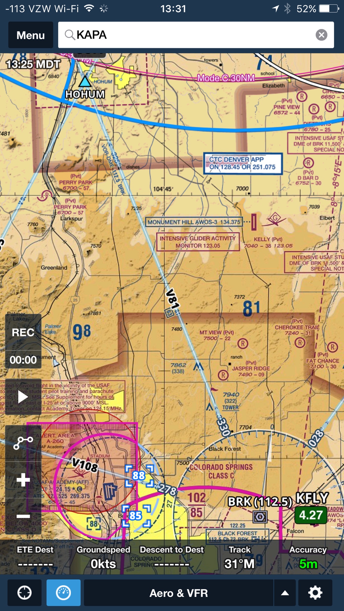
I don't have an MVA chart for this area but I think I've heard vectors at 9000' in the area of V81 here from HOHUM to BRK. I bet the MVA there is 9000, while the MEA is 10000 (and requires a GPS since the VOR signals are mangled by the ridgeline.)
Being from around here if I were told "descend and maintain Niner-thousand" while navigating with a GPS along V-81 there and then went lost comm, I doubt I would think to climb back up to 10000.
But I also know the terrain and fly with a moving map... and maybe even know in the back of my head that DEN TRACON doesn't want me popping back up to 10000 if I was told to expect an approach at KAPA north of HOHUM there...
It's a good scenario to mess with people's brains with. Ha. Better hope it wasn't electrical failure and your 7600 is seen if you decide to pop back up to 10000 there.