need advice regarding possible icing conditions

rbridges

En-Route
Joined
Nov 9, 2012
Messages
2,749
Location
Warner Robins, GA
Display Name

Display name:
rbridges
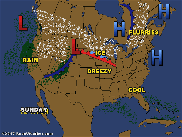
I'm planning to fly to Williamston, NC on friday. I checked the weather forecast, and right now they are calling for a low of 31 with a slight chance of snow at the destination airport.

Honestly, I don't think it's happening, but I don't want to be that guy you read about in the NTSB reports. :lol: I plan to leave central GA around 3 and should be there around 530pm.

In a nutshell, what is the best way to find out if it's a no-go? I know to look at the TAF and METARs. I will file an instrument flight plan, so I will obviously get a weather briefing. Anything else important I need to do? I'd rather look dumb and ask. :yesnod:
 
See if there are any PIREPs. Also, check AIRMET Tango and the FA for the area before you go.

When you are Enroute, check FSS for PIREPs and winds/temps aloft. Sometimes, an inversion exists so climbing may be your out.

Have a rental car ready...just in case. :)
 
1 800wx brief,get a full route brief.
 
See if there are any PIREPs. Also, check AIRMET Tango and the FA for the area before you go.

When you are Enroute, check FSS for PIREPs and winds/temps aloft. Sometimes, an inversion exists so climbing may be your out.

Have a rental car ready...just in case. :)

1 800wx brief,get a full route brief.

thanks. the trip isn't that important, so it's not a big deal if I don't go.
 
The ADDS Icing page is useful:
http://www.aviationweather.gov/adds/icing/

Review AIRMETs, SIGMETs, PIREPS, and then (for supplementary info) the CIP/FIP charts. In a non-FIKI airplane, I'd cancel anything that covers an AIRMET, assuming VFR isn't an option.
 
I'll generally start with an area forecast to get a rough idea of clouds and conditions. Emphasis on rough. What I'm looking for is whether the tops are easy to be above or not, because the best way to handle ice is to not have it. Don't forget freezing level, you can often be below it, too. Skew-Ts have sometimes found me a perfect altitude above freezing during a temperature inversion.

PIREPs are the most useful. But honestly, if you are flying a Mooney and don't have de-ice, just avoid flying in clouds below freezing. There are a lot of people on here who do differently, and it's not smart.
 
We have a Diamond DA40, and even though it is an all composite airframe, I avoid clouds below freezing like the plague. Skew-T plots are one of your best friends in these situations. I don't tangle with icing, thunderstorms or fog.
 
http://aviationweather.gov/

The icing page provides a fairly reliable indicator of the probability and severity of icing at different altitudes. I personally have found it to be quite accurate.
It isn't a long range forecast; basically 24 hours.
 
The ADDS Icing page is useful:
http://www.aviationweather.gov/adds/icing/

Review AIRMETs, SIGMETs, PIREPS, and then (for supplementary info) the CIP/FIP charts. In a non-FIKI airplane, I'd cancel anything that covers an AIRMET, assuming VFR isn't an option.
I've found those to be highly accurate for short-term (a few hours) forecasting of where the ice will be. In a non-FIKI plane, I only look at the probability charts, as any ice at all is unacceptable regardless of the accretion rate. My experience in using them for several winters in the Mid-Atlantic and Northeast is that I've yet to encounter ice where those charts said it wouldn't be, so if it says zero probability, I'll go with that even if there's an AIRMET Zulu covering that area/altitude. My experience is that the AIRMET Zulu is a coarse tool, designed for gross analysis rather than fine-tuned planning, so I look at the Zulu first. If there's a Zulu, I look at the FIP; if not, I may not bother with the FIP unless I have other information (Area and Winds Aloft forecasts, for example) which suggest there may be icing the Zulu hasn't mentioned.

In any event, I won't make a final decision until within a few hours of takeoff, since icing is too hard to forecast accurately more than a few hours in advance. So, I wouldn't even try to make that decision on Wednesday or Thursday for a flight on Friday.
 
In any event, I won't make a final decision until within a few hours of takeoff, since icing is too hard to forecast accurately more than a few hours in advance. So, I wouldn't even try to make that decision on Wednesday or Thursday for a flight on Friday.

that's what I thought. I'll look it over real close around midday Friday.
 
The timing of the front coming through on Friday will determine if this is a go-no go for ya
 
For educational experience look at the Icing page and PIREPs:
http://aviationweather.gov/adds/icing/icingnav?icg_type=CIPSEVO_00&height=070

Then look at the current frontal boundary, satellite and radar views from your favorite weather site. You will be able to see the relation between the views and help you predict where you may have an issue a few days out.

For example, today a cold front just past over the smoky mountains. Sure enough the icing is predicted from ground level on up into the flight levels.
displayIcg.php

us__todsfc.gif
 
PIREPS and area forecast. Stay out of the cotton balls (clouds, attempt at humor) when close to freezing level and you will be fine.
 
PIREPS and area forecast. Stay out of the cotton balls (clouds, attempt at humor) when close to freezing level and you will be fine.

We'll...he can stay out of the clouds and still get ice. Freezing rain is one of he most dangerous ice encounters out there and the clouds can be over a thousand feet above you. More accurately, stay out of visible moisture at or below freezing where the temperature is conducive for ice forming on an aircraft.
 
We'll...he can stay out of the clouds and still get ice. Freezing rain is one of he most dangerous ice encounters out there and the clouds can be over a thousand feet above you. More accurately, stay out of visible moisture at or below freezing where the temperature is conducive for ice forming on an aircraft.

good point. anyway, the forecast is getting more optimistic. The 7 day forecast has removed snow and ice from Friday. I'll still give it a good look before taking off.
 
PIREPS and area forecast. Stay out of the cotton balls (clouds, attempt at humor) when close to freezing level and you will be fine.
The FAA has stated in writing that you need to use all available information, and the PIREPS and Area Forecast (FA) are not sufficient by themselves. In particular, as a minimum, I think the Winds/Temps Aloft (FD), AIRMET/SIGMET, and CIP/FIP need to be reviewed along with the two you mentioned.

And icing can occur outside the clouds -- which can be some of the worst icing there is.
 
I'm not experienced with ice. If there's clouds in the sky and it's cold then I stay on the ground.

I remember reading one time though, that icing occurs only (mostly) on the NW and W sides of a low.

Any truth to that...or something similar?

Note: I'm not talking about freezing rain type icing but rather in the clouds type icing.
 
I'm not experienced with ice. If there's clouds in the sky and it's cold then I stay on the ground.
That should be a safe strategy. However, it gives up more utility than some are willing to cede.

I remember reading one time though, that icing occurs only (mostly) on the NW and W sides of a low.

Any truth to that...or something similar?
There are a number of meteorological reasons for that to be somewhat true, but nowhere near unconditionally. It might be more accurate to say it's more severe there rather than more common. If you really want to learn about this, go to Scott Dennstaedt's web site and get the "Ice is Not Nice" course.
 
Last edited:
Back
Top