Morne
Line Up and Wait
- Joined
- Sep 18, 2011
- Messages
- 699
- Display Name
Display name:
Morne
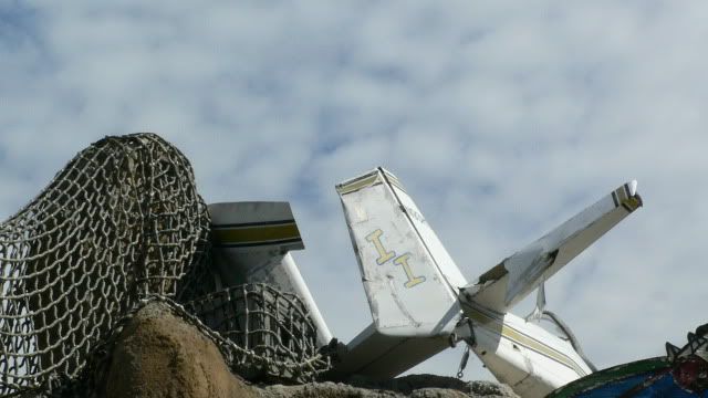
Took this picture over the weekend:
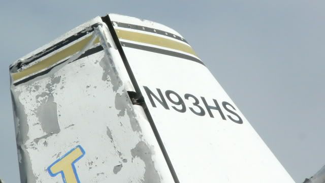
Now does anybody know WHERE this wreck is located?
I'll give folks a day or two of guessing and then post another pic, zoomed out, with some more clues.
Before anyone asks:
1 - It is NOT at any airport
2 - The FAA registry won't help you
3 - Google won't help either
4 - It is in the USA
5 - It is in a public place
6 - It is located in a tourist destination
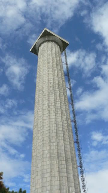

")