- Joined
- Jul 29, 2011
- Messages
- 1,466
- Display Name
- MountainDude
- Home Airfield
- KPDX
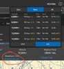
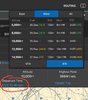
I use FLyQ, which I like. It will select the route altitude based on the winds, but the route is always direct.
For long XC trips, I would like to explore non-direct routing that are based on the winds. Any tools out there?
For long XC trips, I would like to explore non-direct routing that are based on the winds. Any tools out there?