Garming 396 vs. Anywhere Map

Anthony

Touchdown! Greaser!
Joined
Feb 23, 2005
Messages
18,478
Display Name

Display name:
Anthony
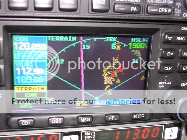
I attended a Grumman fly-in yesterday in Pueblo, CO and one of the other aircraft (AA1C w/ 160 HP conversion...w00t!) had the Anywhere Map installed on the yoke. Very clean installation as all the wires connecting everything were hidden and it had the bluetooth so the XM could talk to the PDA. Very cool.

The Anywhere Map has a few functions the 396 doesn't like downloadable TFR's, approach plates and 100LL.com for fuel prices. The entire setup is also less expensive than the 396 by about $1K I think.

Does anybody with experience with both or either care to share their thoughts? Thanks.
 
Last edited:
Anthony -

I really like the 396. So much so that on the R44, in addition to a panel mounted 430, we're getting a 396 mounted directly above the panel. We are doing that for two reasons -- the 396 has terrain which the 430 does not, and by mounting it over the console the pilot doesn't have to look down (eyes looking outside the boat is good policy in a helicopter).

The Raven II we started our transition training with had a 396 mounted the same way ours will be. I found the display to be very readable under all lighting conditions.

I can't speak to the Anywhere Map, never having used one.
 
RotaryWingBob said:
the 396 has terrain which the 430 does not

Bob,

Terrain is available for the 430, we have it on the 182. IIRC the upgrade was a flat $650, a lot cheaper than the 396! However, the 396 still has weather as well.

Here's a shot of the 430's terrain page when flying the Chicago lakeshore route:

G430terrain.jpg


You should have seen it going into Gaston's! :hairraise:
 
flyingcheesehead said:
Bob,

Terrain is available for the 430, we have it on the 182. IIRC the upgrade was a flat $650, a lot cheaper than the 396! However, the 396 still has weather as well.

Here's a shot of the 430's terrain page when flying the Chicago lakeshore route:

G430terrain.jpg


You should have seen it going into Gaston's! :hairraise:
Yes, you're right, Kent (we don't have it on our 430 in the fixed-wing). But I like the 396 display better:
 

Attachments

  • terrain.jpg
    terrain.jpg
    52.9 KB · Views: 10
RotaryWingBob said:
Yes, you're right, Kent (we don't have it on our 430 in the fixed-wing). But I like the 396 display better:

Bob,

The 430 and 396 actually depict terrain the same - The pic I posted of the Chicago lakeshore route, the ground (and lake) is pretty much flat but there's a ton of buildings, towers, etc.

Going into Gaston's, I was surrounded by red on final approach.

I can't wait to get a 396 (or 398?) at OSH or shortly thereafter, but I'm not looking forward to another $50/mo that I may not get enough use out of. :(
 
Interesting, thanks, Kent. I'm hoping that the 396 can be set to change the yellow threshold -- 500' would be much more useful to me than 1000' in a helicopter.
 
RotaryWingBob said:
Interesting, thanks, Kent. I'm hoping that the 396 can be set to change the yellow threshold -- 500' would be much more useful to me than 1000' in a helicopter.

Bob,

You can set the yellow threshold - They call it the "Caution Elevation." Go to the terrain page, press "Menu," select "Set Up" and change the Caution Elevation to where you want it. Red is always 100 feet.

The full procedure, complete with pretty pictures, is on page 38 of the 396 manual available at http://www.garmin.com/manuals/GPSMAP396_GPSMAP396PilotsGuide.pdf
 
Back
Top