pilotod
Pre-takeoff checklist
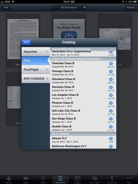
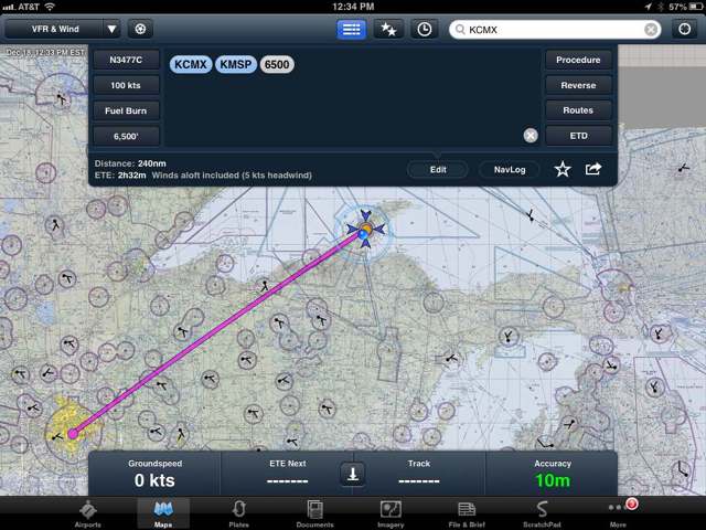
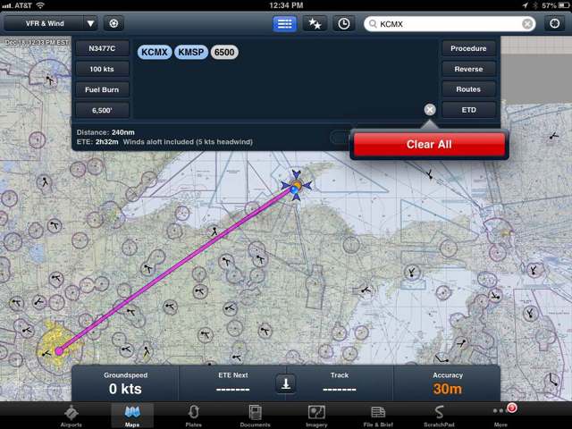
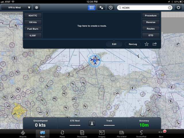
I dunno. Maybe I just don't read. I just migrated from i1000 to foreflight and wanted to add sectionals. I didn't see "sectionals" in the downloads section of foreflight but I saw "Fly Charts." What the hell are "Fly Charts?"
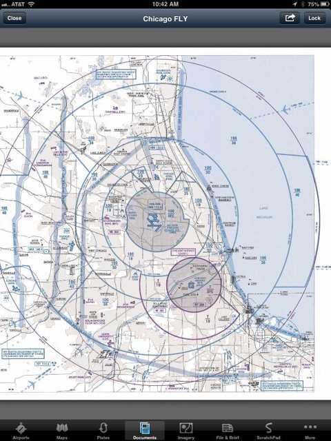
Adding on...went to downloads again and there was the accidental touch of the Atlanta Fly Chart. If I want to delete that "Fly Chart" of Atlanta that I paused to stop it from downloading...the only option is to "delete all downloads." Now, really...what if I wanted to keep the whatever "Fly Chart" that I have because the only option I was given was to delete all downloads.
Where's that newer pilotsofamerica member..MAK something...that hates on software? I'd like to ask him what is in the heads of people when they code.
Last edited:
")