frtrkap
Pre-Flight
- Joined
- Jun 30, 2019
- Messages
- 80
- Display Name
Display name:
frtrkap
Hi,
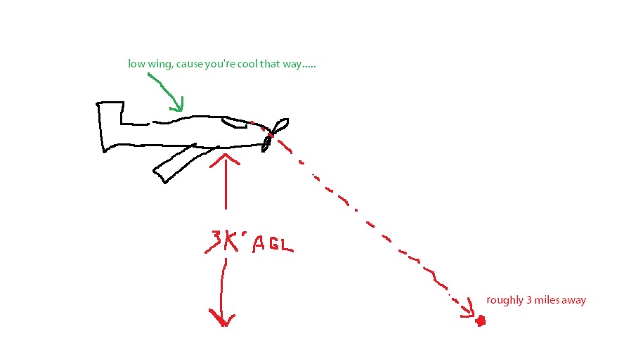
Are there any tricks to estimating a distance to a city/airport/landmark visually, other than looking at a map? I remember my old CFI telling me that the airport was at about 3NM, at my wingtip (PA-28), at 3000', so it gives me some idea, but any other tips?
Thanks
Are there any tricks to estimating a distance to a city/airport/landmark visually, other than looking at a map? I remember my old CFI telling me that the airport was at about 3NM, at my wingtip (PA-28), at 3000', so it gives me some idea, but any other tips?
Thanks