SF Bay Area Tour from Livermore, CA.

JoseCuervo

En-Route
Joined
Mar 11, 2012
Messages
2,868
Display Name

Display name:
JoseCuervo
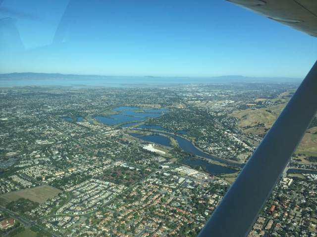
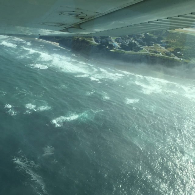
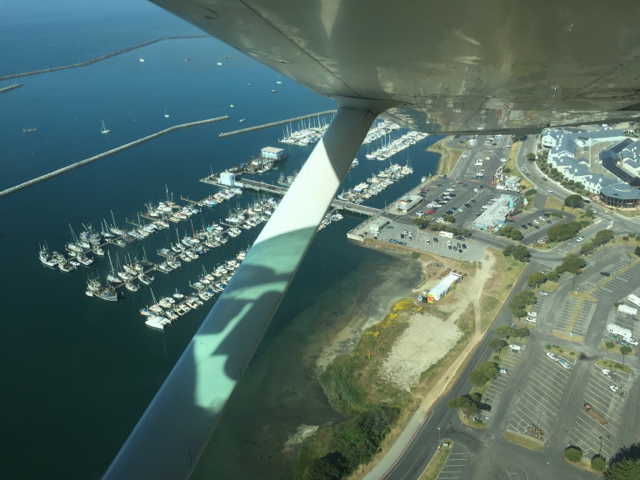
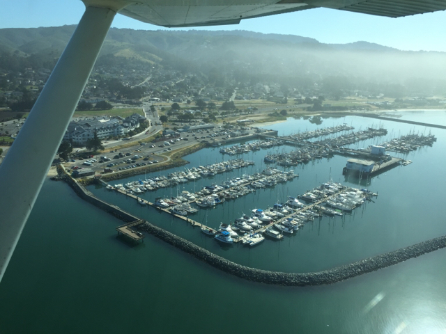
If you were to start a Bay Area tour from Livermore, what is the route?

Who do you talk to?

Any suggestions and help is appreciated.


Sent from my iPhone using Tapatalk
 
You can make up a route. The local term "Bay Tour" means destination = departure with flight following, and usually a Class B transition.

Baseball games will get in your way.

Assuming there aren't any, from Livermore, I'd suggest following 680 through the pass, duck under Class B over the Bay to Palo Alto (2000 works), then over Stanford to SLAC, turn right prior to the ridgetop over Crystal Springs, get clearance into Class B, transition over to Lake Merced at 1500 or 3500 to the Golden Gate Bridge, turn right over the bridge to Alcatraz, parallel the Bay Bridge into Berkeley, then over the ridge to Mt Diablo (highest mountain in the region, with a lighted airway beacon at the top), then return to Livermore. All of these points are on the TAC.

There are several variations. You can go through San Jose to see the new Apple campus. You can transition Oakland instead of Sunol or Berkeley. You can check out the Nike site in Marin or take a closer look at Golden Gate Park, North Beach, or even SFO (the usual clearance is to remain on the other side of 101, but that gets you REAL close).

You're gonna talk to a lot of controllers. Start with Livermore Ground to request a Bay Tour. They should give you a squawk code and Tower will hand you off to NorCal.
 
Or if you want you can just underfly the Class B. You're sitting next to a 6,000 foot bottom shelf to the North and an 8,000 foot shelf to the South. You can see 99 percent of what you need to see keeping clear of the inner ring.
 
What is the route altitude near the Golden Gate Bridge?

Can you overfly at 1500?


Sent from my iPhone using Tapatalk
 
Sure. It's under a 3,000 foot shelf and the next lower shelf over the southern portion of the City is 2,100 feet. I overfly the North edge of the City at 1,500 feet all the time to go to Half Moon Bay. Flying through the Bravo is no big deal but it's hit and miss. You might get a more direct route or you might get a big detour. That's been my experience anyway.
 
What is the route altitude near the Golden Gate Bridge?

Can you overfly at 1500?


Sent from my iPhone using Tapatalk

Yes, but there are two potential issues.

1. The towers are 750 feet high and it's "congested," so you have to stay 2000 feet from the towers at that altitude. Mid-span IS far enough away.

2. Traffic helicopters and every tourist on the planet all have the same idea. And they don't all cross in the same direction. They do all like the same altitude, so fly at slow cruise, use flight following, and keep your head on a swivel.

It's a whole lot easier at 2000-2500.

FYI, it's true that SFO B clearances can be hit or miss, but you can greatly improve your odds by trying the "other" altitude. They are controlled by different seats and have different workloads. If SFO Tower says no at 1500, climb to 3500 and ask NorCal.

I don't recommend 1500 if there are significant winds, as that's below the peaks and you'll get your teeth knocked out. Also, some of the obstructions around the city are higher than that, so CAVU only.
 
Last edited:
First leg complete, Half Moon Bay opened up from m the marine layer, so having breakfast at 3-0 Cafe.

83b2b7a8fd8c8756a6fe118a5eaf1c9d.jpg


ccdd5d9ab2b899785e9bc2ab4bf2de80.jpg


bccf7918f8bbeb386685f4d39bc13350.jpg


f1d3c00bff0091259aa0cf7edd7926a2.jpg


Went Livermore to Palo Alto to San Carlos to Half Moon.

Hand offs have been easy so far. Staying out of Class B.


Sent from my iPhone using Tapatalk
 
I didn't realize you were out today. Nice day.

Half Moon Bay is not often CAVU.

3-0 Cafe is pretty good, but the restaurants just to the south around the harbor are amazing. Best $100 "burger" in California, IMO.
 
Seriously, next time you go, don't waste time at the 3-0 cafe. You can park on the South ramp and have easy access to some really great stuff, as MAKG1 suggests. My favorite is the Princeton Seafood Company.
 
3-0 seems loaded with local old people eating breakfast.

Good Southern omelette.
772227e36dc1cf3a533740b5972ae5a4.jpg


Will walk south next time.


Sent from my iPhone using Tapatalk
 
Awesome, today is great day to be out, I'll wave from my office in the city...
 
Yeah, the 3-0 isn't bad at all. If it were the only restaurant in the area, it would be worth a $100 burger.

But there is some extraordinary stuff just off field. Sac likes Princeton. I'm partial to Sam's Chowder House.

FYI, there is some good stuff at San Carlos, too. There is an airport greasy spoon similar to 3-0 in the terminal, and across the field, there is a good steakhouse (Izzy's; park at "helicopter transient") and an unusually good air museum. Oh, and Burger King. :D
 
Had a great flight from Half Moon Bay up the coast to the City, over the Golden Gate, around Alcatraz, and then toward the East Bay.

The controllers were really easy to work with, and we stayed out of the Bravo,so not a big deal.

There was no other traffic over the Golden Gate-Alcatraz-North Beach-Crissy Field area, so that made it real easy to sight see.


a1ee2b2022c56b2d1e7c16ff41d62791.jpg


13c6372af3fe6ff00df907f6dc242ca1.jpg


e2fa031532739c3aad1bfa72f1426b6c.jpg


50f858893a7df7bdb7507df6249f2754.jpg


74e0d0ab5d39671246277ff4b53e8a86.jpg


02f09066e25c317ad263c7dc4cedefa3.jpg


9cf4835b0ac6104577101f542f7f31b1.jpg


Thanks for all the help above, I appreciate the suggestions.


Sent from my iPhone using Tapatalk
Out of curiosity, did you rent from a place at livermore? For some reason, I thought you aren't from the bay area...though I have been wrong before.
 
About 6 miles NW of KCCR is the Navy Reserve Fleet. There used to be a Carrier there. People were shooting touch and goes on it so they had to put barriers on the deck. It's a sight if you wanna see warships.
 
About 6 miles NW of KCCR is the Navy Reserve Fleet. There used to be a Carrier there. People were shooting touch and goes on it so they had to put barriers on the deck. It's a sight if you wanna see warships.

I lived in SF in late-80s. I used to be fascinated driving past the Liberty Ships that were mothballed up there. Must have been 80-100, or so it seemed.

Looked like only 8-10 ships now, not nearly as interesting.
 
Out of curiosity, did you rent from a place at livermore? For some reason, I thought you aren't from the bay area...though I have been wrong before.


No rental for me in Livemore. Flew my own plane in from the East to see my daughter and watch the Warriors game.

A bit of local knowledge helps, items like "stay west of 101 freeway" .

Sat in the plane before calling Livermore Ground, and plotted a route and altitudes, staying under the Bravo.

The route was going to be:
Palo Alto
Stanford U
Crystal Springs Res
Half Moon Bay
Golden Gate
Alcatraz


Why is there a carved out small section of Class B that is lower, along the Ocean Beach, north of Pacifica?
Area is too small for the Class B xx/yy numbers to be printed in the area.
 
Why is there a carved out small section of Class B that is lower, along the Ocean Beach, north of Pacifica?
Area is too small for the Class B xx/yy numbers to be printed in the area.

I think that's due to departures from SFO's Rwy 28L and 28R. The heavies come that way because they need the longer runways.
 
Why is there a carved out small section of Class B that is lower, along the Ocean Beach, north of Pacifica?
Area is too small for the Class B xx/yy numbers to be printed in the area.
Look at the flyways chart on the back of the TAC. It's an option for transition to avoid the bravo by following the shoreline. Otherwise you have to fly over some cold, rough open water below 2100.
 
.........Why is there a carved out small section of Class B that is lower, along the Ocean Beach, north of Pacifica?
Area is too small for the Class B xx/yy numbers to be printed in the area.

It's higher, not lower. It's carved out of the SFC area
 
It's higher, not lower. It's carved out of the SFC area
I think he was referring to the fact that you have to drop to a lower altitude if you want to continue to follow the shoreline when you get to that segment.
 
Why is there a carved out small section of Class B that is lower, along the Ocean Beach, north of Pacifica?
Area is too small for the Class B xx/yy numbers to be printed in the area.

The hang glider symbol in the center of that area looks like a clue. Do hang gliders need Class B clearance?
 
I think he was referring to the fact that you have to drop to a lower altitude if you want to continue to follow the shoreline when you get to that segment.

Correct.
When flying up the coast, you have to stay under 2100 (if memory serves me), except for an irregular spot that is 1500.
 
Correct.
When flying up the coast, you have to stay under 2100 (if memory serves me), except for an irregular spot that is 1500.

I usually fly the 2100 foot ring at 1500, and stay away from the 1500 foot spot.
 
Why is there a carved out small section of Class B that is lower, along the Ocean Beach, north of Pacifica?
Area is too small for the Class B xx/yy numbers to be printed in the area.

Another possibility just came to mind: Maybe there's some terrain that's creating a radar shadow below whatever altitude in that area?
 
I have never had a problem getting a Bravo Clearance through there between HAF and Golden Gate Bridge at 3500' along the shoreline...even when they are launching heavies off 28L&R. Nor Cal is pretty accommodating.
 
I have never had a problem getting a Bravo Clearance through there between HAF and Golden Gate Bridge at 3500' along the shoreline...even when they are launching heavies off 28L&R. Nor Cal is pretty accommodating.

I very seldom have any trouble with B clearance anywhere but directly over the Bay southeast of SFO.

Just recently, practicing approaches at CCR VFR, the southern feeder route (from COLLI) is inside Class B at the MEA. Not even the slightest problem.

A380s launch right over Pacifica if there is any westerly wind. I've had one restricted below me, when I was at 3500! I'll bet that noise abatement report was fun.

There are definitely radar (and radio) shadows at low altitude around there. Not at 3500, though. Trying to contact NorCal on the missed at HAF is an exercise in patience.
 
What sights did I miss by not going into the Bravo?

They told us to stay North and West of the Bay Bridge, so I guessed I missed flying along the City from the Mission down to Candlestick.

I can't think Daly City and San Bruno would be more scenic than Half Moon Bay and Pacifica.

I guess we missed the Hayward-Alameda-Oaktown shore line and estuary???
 
SFO itself. Pacifica from a sensible altitude (1400 is too low over that coastline). Upper Crystal Springs. What you had was quite good, but you seem to be thinking you would have had trouble with B clearance. Not usually.
 
What sights did I miss by not going into the Bravo?

Nothing really, just that it seems that some pilots (not necessarily you) will avoid the Bravo at all costs thinking it is an impenetrable fortress when all you gotta do is just ask then you don't have to worry about the blue lines at all. I am usually transitioning from the south and enjoy flying up the peninsula and over all of Silicon Valley.
 
Back
Top