I am a new private pilot and I’m working on my other ratings, but I’m having trouble finding a good way to prepare myself for flying into new unknown areas. I have used firefight and it gives good procedures for IFR flying but I’m still curious what others do to be prepared.
You are using an out of date browser. It may not display this or other websites correctly.
You should upgrade or use an alternative browser.
You should upgrade or use an alternative browser.
Best way to prepare for a flight to a new area.
- Thread starter SUGGS
- Start date
-
- Tags
- new area preparation
dans2992
En-Route
- Joined
- Jan 7, 2013
- Messages
- 3,897
- Display Name
Display name:
Dans2992
Look at ForeFlight. Plan your route considering terrain/airspace, etc if VFR.I am a new private pilot and I’m working on my other ratings, but I’m having trouble finding a good way to prepare myself for flying into new unknown areas. I have used firefight and it gives good procedures for IFR flying but I’m still curious what others do to be prepared.
Research the FBO, costs, services, hours.
Look at Google earth to get an idea what you’ll see when you get there, especially terrain.
Rcmutz
Cleared for Takeoff
OP….Where are you flying from and to?
Half Fast
Touchdown! Greaser!
In addition to the usual flight planning stuff, I will often look at Google Earth to see what the destination and route landmarks look like from the air.
Baked Potato
Line Up and Wait
- Joined
- Jul 31, 2022
- Messages
- 932
- Display Name
Display name:
Baked Potato
Or fire up MSFS and do a simulated flight to the destinationIn addition to the usual flight planning stuff, I will often look at Google Earth to see what the destination and route landmarks look like from the air.

Especially if you're VFR - it helps to illustrate how the landmarks look from the angle and perspective of the actual fight.
Half Fast
Touchdown! Greaser!
Or fire up MSFS and do a simulated flight to the destination
Especially if you're VFR - it helps to illustrate how the landmarks look from the angle and perspective of the actual fight.
If I had a flight sim I would do that for sure.
Baked Potato
Line Up and Wait
- Joined
- Jul 31, 2022
- Messages
- 932
- Display Name
Display name:
Baked Potato
Unfortunately there's a pretty high barrier to entry, especially if one doesn't have a good PC already (I don't have experience with the Xbox version but wouldn't want to sim on anything other than a PC, with the available peripherals and modding ability)If I had a flight sim I would do that for sure.
MSFS is not great as a physics simulator, but for practicing VFR routes it is astonishing. At least where I am, in MD/PA/VA area, the landmarks are very well represented. Google Earth is a great resource for sure, but in the sim, seeing things like how a lake looks from your viewpoint in the cockpit (for example) which can be markedly different than what it looks like from above, can really help to pre-orient yourself to the sight picture along your flight. I've used things like building roof colors, highways, how prominent mountain peaks are, and more, to help myself plot waypoints for future flights. Not to mention practicing entry into unfamiliar patterns, identifying noise abatement landmarks, and points to look out for to identify 10/5/2 mile increments inbound. It's really pretty amazing what they did with that software.
I am a ForeFlight user also. I activate 3-D for the airport/runway of interest and use it to get a sense of what my view should be on approach to the pattern. As also mentioned, Google Earth is your friend . If you know of other pilots who have flown in to the airports you intend to land at then ask them about nuances that apply to those particular airports.
. If you know of other pilots who have flown in to the airports you intend to land at then ask them about nuances that apply to those particular airports.dmspilot
Final Approach
- Joined
- Oct 20, 2006
- Messages
- 5,867
- Display Name
Display name:
DISPLAY NAME
Didn't your CFI teach you anything?I am a new private pilot and I’m working on my other ratings, but I’m having trouble finding a good way to prepare myself for flying into new unknown areas. I have used firefight and it gives good procedures for IFR flying but I’m still curious what others do to be prepared.
chemgeek
En-Route
- Joined
- Dec 5, 2009
- Messages
- 2,957
- Display Name
Display name:
chemgeek
Honestly, just go. Plan your route on a tablet app or paper map (sometimes a large paper map is easier to visualize the big picture of a long XC), check the weather and NOTAMs to verify or alter your planned route, then go. Make a flight log if you want to track your progress and track fuel consumption. Your nav instruments will get you there, and you will gain experience. There will come a day when you will need to divert due to winds aloft, adverse weather, or for a bio-break. Then, you will need to be able to find your way to your alternate destination without "pre-flying" in Google Earth or practicing the whole flight before you go. The more you take XC trips, the better you will get at it, and to be honest, it is part of the fun and challenge of flying. If long trips are intimidating, start with some short trips, then work your way up to maximum range. With panel-mount or portable GPS/EFBs, it is almost impossible to get lost these days.
Last edited:
Vance Breese
Cleared for Takeoff
For me flight planning is aviation foreplay.I am a new private pilot and I’m working on my other ratings, but I’m having trouble finding a good way to prepare myself for flying into new unknown areas. I have used firefight and it gives good procedures for IFR flying but I’m still curious what others do to be prepared.
More foreplay makes for a more enjoyable flight.
I am a sectional enthusiast and spend time marking up current sectionals and compare what I see with Google earth.
If it is complex airspace I get a terminal area chart.
I love to reach each waypoint.
I use a GPS for a back up to my visual navigation.
I spend time looking at places to divert to if things are not working out and try to anticipate how to manage the unexpected.
I watch the weather for at least a week in advance of my departure so I can get a feeling for weather trends.
I find value in talking to people familiar with the flight.
I find joy in flying to a new to me airport and I love it when a plan comes together.
MauleSkinner
Touchdown! Greaser!
I was going to start with, “take the refund from your instructor and…”Didn't your CFI teach you anything?
ArrowFlyer86
Pattern Altitude
- Joined
- Jul 17, 2019
- Messages
- 1,567
- Location
- Chicago suburbs
- Display Name
Display name:
The Little Arrow That Could
I'm flying into a new rural area I do hardly any prep. Most of it is weather planning. The exception being flying somewhere with mountains, then I think about route planning carefully.
If I'm flying into a new bravo, especially a busy one, I look at the VFR charts and familiarize myself with the transition routes/altitudes if there are any.
And I pretty much always use flight following.
If I'm flying into a new bravo, especially a busy one, I look at the VFR charts and familiarize myself with the transition routes/altitudes if there are any.
And I pretty much always use flight following.
rangerz
Pre-Flight
As already mentioned, MSFS if you have a decent computer is remarkably good these days for both VFR and IFR pre-gaming even into rural areas.
Barring that, Google Earth can help - but use it in conjunction with your sectional charts. With practice, you can anticipate remarkably well from a section how things will appear in real life. Especially looking at how airports / runways relate to nearby features like highways, towns, rivers, etc. This will reduce task loading, even using GPS navigation, in finding your destination so that you can concentrate on keeping eyes out for traffic.
If you're going somewhere towered or under C or B airspace, see if the area's on liveATC and listen in for a while. I did this before my trip to Savannah to get a feel for how tower / ground tended to operate as well as how approach managed inbound VFR traffic. I would've been fine skipping this step, but I hadn't realized how much military traffic they handled before listening in.
jkgoblue
Pre-takeoff checklist
The comment section in Foreflight can be very helpful also. Pilots will mention terrain, power lines, and other local knowledge that can help with your unfamiliarity of the area.
Zeldman
Touchdown! Greaser!
Didn't your CFI teach you anything?
I was wondering how the checkride went...I was going to start with, “take the refund from your instructor and…”
Clip4
Final Approach
What is fireflight?I am a new private pilot and I’m working on my other ratings, but I’m having trouble finding a good way to prepare myself for flying into new unknown areas. I have used firefight and it gives good procedures for IFR flying but I’m still curious what others do to be prepared.
Half Fast
Touchdown! Greaser!
Matthew
Touchdown! Greaser!
I tried very hard to fly to unfamiliar airports as often as I could. Biggest worry for me was finding an airport in ground clutter. Some are just hard to spot. Navigating there was never a problem so I would locate a few landmarks right in the airport environment to help me find the airport. I also liked using an airport diagram to help with situational awareness.
MackMooney
Filing Flight Plan
- Joined
- Aug 7, 2023
- Messages
- 21
- Display Name
Display name:
McMooney
Nothing to prepare, get a map, plan a route, check weather then go 8).I am a new private pilot and I’m working on my other ratings, but I’m having trouble finding a good way to prepare myself for flying into new unknown areas. I have used firefight and it gives good procedures for IFR flying but I’m still curious what others do to be prepared.
Only issues, if a large B/C keep the airport diagram close.
USE flight following
I was going to start with, “take the refund from your instructor and…”
I was mainly trying to figure out how others prepare for flights into new areas and in areas with more congested airspace, my question was worded weirdly sorry.Didn't your CFI teach you anything?
dans2992
En-Route
- Joined
- Jan 7, 2013
- Messages
- 3,897
- Display Name
Display name:
Dans2992
Flying an approach often makes this a lot easier…I tried very hard to fly to unfamiliar airports as often as I could. Biggest worry for me was finding an airport in ground clutter. Some are just hard to spot. Navigating there was never a problem so I would locate a few landmarks right in the airport environment to help me find the airport. I also liked using an airport diagram to help with situational awareness.
FancyG
Pre-takeoff checklist
- Joined
- Dec 10, 2020
- Messages
- 384
- Display Name
Display name:
FancyG
https://www.aopa.org/Kneeboard/Kneeboard/GeneratePdf?airportId=KTGII tried very hard to fly to unfamiliar airports as often as I could. Biggest worry for me was finding an airport in ground clutter. Some are just hard to spot. Navigating there was never a problem so I would locate a few landmarks right in the airport environment to help me find the airport. I also liked using an airport diagram to help with situational awareness.
These printouts work well on a kneeboard, writing frequencies and TPA/pattern entry plan in each was helpful to me.
Domenick
Pattern Altitude
- Joined
- Sep 11, 2019
- Messages
- 1,833
- Display Name
Display name:
Domenick
Another vote for checking Google Earth.
Just for fun and titillation I've planned MANY more XCs than I've taken or likely will ever take. Flight planning is FUN! I am not a Foreflight user.For me flight planning is aviation foreplay.
More foreplay makes for a more enjoyable flight.
Matthew
Touchdown! Greaser!
Yes, definitely…now that I know how.Flying an approach often makes this a lot easier…
Matthew
Touchdown! Greaser!
Same here. This is one of the things I usually do, too. But I’m also careful to verify the info on those AOPA kneeboard docs against the published info in the chart supplement. I’ve seen some discrepancies over the years, mainly in TPA.https://www.aopa.org/Kneeboard/Kneeboard/GeneratePdf?airportId=KTGI
These printouts work well on a kneeboard, writing frequencies and TPA/pattern entry plan in each was helpful to me.
Matthew
Touchdown! Greaser!
Same here. I’ve flight planned a lot of trips. I do have a good time with that. I guess that’s my version of playing around on a flight sim.Another vote for checking Google Earth.
Just for fun and titillation I've planned MANY more XCs than I've taken or likely will ever take. Flight planning is FUN! I am not a Foreflight user.
Half Fast
Touchdown! Greaser!
https://www.aopa.org/Kneeboard/Kneeboard/GeneratePdf?airportId=KTGI
These printouts work well on a kneeboard, writing frequencies and TPA/pattern entry plan in each was helpful to me.
Yep. One of the things I do is sketch on the printout the runway layout as it will appear in the direction I'm coming from. That helps me orient myself without mental gymnastics.
Matthew
Touchdown! Greaser!
My primary CFI trained me to pencil in the approach direction onto an airport diagram so I could get a better feel for that.Yep. One of the things I do is sketch on the printout the runway layout as it will appear in the direction I'm coming from. That helps me orient myself without mental gymnastics.
Domenick
Pattern Altitude
- Joined
- Sep 11, 2019
- Messages
- 1,833
- Display Name
Display name:
Domenick
Long ago I developed my own flightplan Excel spreadsheet. It evolved over the years to its current state. Here's a link to the XLSX workbook and TXT help files:

wayneda40
Line Up and Wait
- Joined
- Jul 31, 2017
- Messages
- 580
- Display Name
Display name:
waynemcc
All the things mentioned above. Last month with a couple of buddies, we flew a ~5000 nm trip all around Mexico, largely to places none of us had flown before. I e-flew on X-Plane 12 (on my <US$1000 home simulator) EVERY one of those miles (using "warp speed" for cruise) including approaches, landings, and taxi at each of more than a dozen airports. While I was e-flying I had ForeFlight running in real-time (also using the 3D route and airport preview). Super effective.
Here's the video capturing some of that home sim preparation.
Buen viaje!
Wayne
Here's the video capturing some of that home sim preparation.
Buen viaje!
Wayne
MauleSkinner
Touchdown! Greaser!
It still shouldn’t be anything your instructor didn’t prepare you for.I was mainly trying to figure out how others prepare for flights into new areas and in areas with more congested airspace, my question was worded weirdly sorry.
Matthew
Touchdown! Greaser!
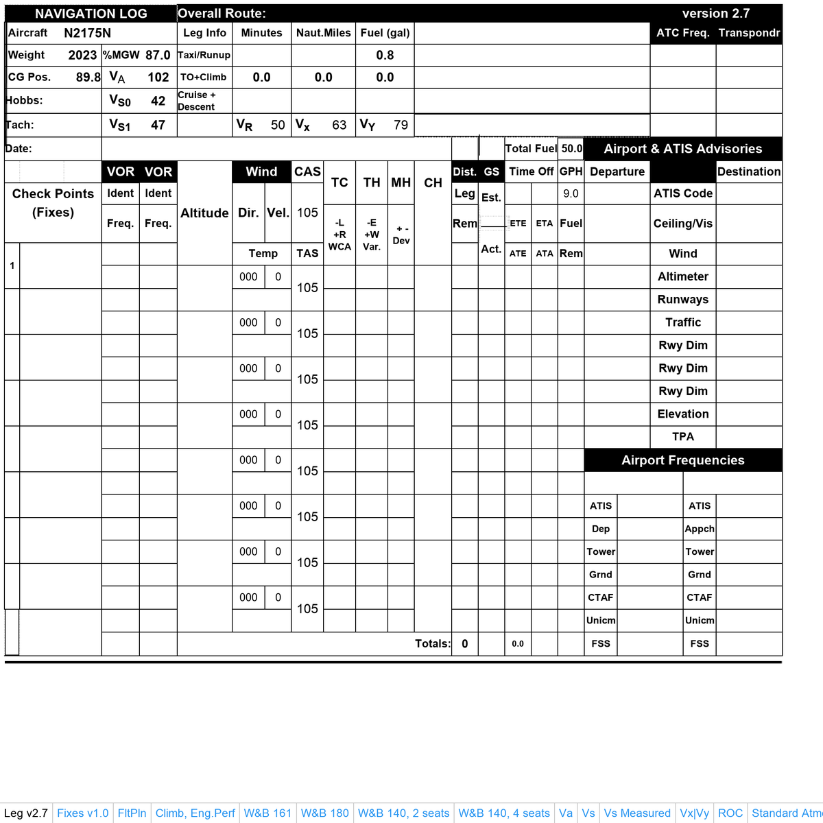
I’ve used this one a lot for VFR and am pretty happy with it. The hardest part is figuring out how to print it on both sides in the proper orientation.Long ago I developed my own flightplan Excel spreadsheet. It evolved over the years to its current state. Here's a link to the XLSX workbook and TXT help files:
There are several versions with different ways of calculating your compass heading.
VFR NavLog (Navigation Log) and Cross Country Flight Planning Form
VFR NavLog (Navigation Log) and Cross Country Flight Planning Form, free for the downloading
www.dauntless-soft.com
bentmettle
Filing Flight Plan
- Joined
- Nov 9, 2023
- Messages
- 7
- Display Name
Display name:
matt
I am a new private pilot and I’m working on my other ratings, but I’m having trouble finding a good way to prepare myself for flying into new unknown areas. I have used firefight and it gives good procedures for IFR flying but I’m still curious what others do to be prepared.
think back to your solo cross countries - what problems did you have? On mine, I hadn't checked weather at my destination and when I got there, the winds were above our solo student limits, so I had to divert. Totally lack of planning, and while I'm sure the CFI and I talked about it, there comes a time when you actually have to do it yourself.
recently, both my CFII and I both didn't check NOTAMS for the airport we fly approaches into ALL the time. And when Approach told us the ILS was closed, we both felt stupid since a person should ALWAYS be checking NOTAMS. (see above, lack of planning)
SkyChaser
Pattern Altitude
- Joined
- Mar 22, 2020
- Messages
- 2,041
- Display Name
Display name:
SkyChaser
Fireflight is a band, but if you notice, he said he used "firefight", so I guess he has tried travelling to the area previously and battling it out with the residents there. With that understanding, I can totally see why he just wanted to know if there was an easier way to prepare to fly places.What is fireflight?

I planned a several long XC's with dual instruction into the Houston Bravo during my training. It GREATLY facilitated my relative comfort dealing with a complicated and congested airspace...particularly on Friday afternoons. My first flight after getting my IR was into an uncontrolled Echo airport under the Houston Bravo shelf in IMC and a departure the next day under the same (KAXH). Although I still had anxiety, I was comfortable enough get the job done. Without those dual hours in that same airspace I would not have been comfortable enough to do it single pilot.I was mainly trying to figure out how others prepare for flights into new areas and in areas with more congested airspace, my question was worded weirdly sorry.
Deelee
Pattern Altitude
- Joined
- Feb 12, 2019
- Messages
- 1,767
- Display Name
Display name:
Deelee
I remember my first XC to a new airport after getting my private... I had an excellent CFI, did very well on the checkride... Even so, I remember feeling similar to OP - a bit nervous, a bit unsure, etc. To get over that, I did what many others mentioned already - studied the sectionals and ForeFlight. Looked at Google maps satellite view. Wrote down a little cheat sheet with CTAF and wx frequencies as well as pattern altitude and direction.
Took off, got flight following and it was a non-event... well non-event except for being one of the most amazing days of my life.
Took off, got flight following and it was a non-event... well non-event except for being one of the most amazing days of my life.
Huckster79
Pattern Altitude
- Joined
- Nov 22, 2018
- Messages
- 2,327
- Display Name
Display name:
Huckster79
Prepare but there’s no need to over prepare either… if it’s crazy airspace or terrain then up the prep level. But I found as I stepped up my flying from burger runs to real x countries- we often get in our head about longer trips.
I flew all the time a couple hours within my state. Flying 4 states away is pretty much same thing just 2 or 3 times over…
Besides maybe for Density Alt concerns a plane flies the same in Wisconsin as it does Minnesota as it does in Tennessee…
Prepare for sure but don’t get too in your head about it. That’s easy to do.