Symbol on DP Chart

Chip I have no idea but a guess would be to alert a pilot that this is a military base an not a civilian airfield?
 
If so I would have expected to find the same symbol on all of the approach charts, but there are none. http://204.108.4.16/d-tpp/0803/00482ILD17L.PDF
I saw the same thing. I'd think it would be on all the plates were it strictly due a military base. Instead, I saw it on both DPs and only one approach; HI-VOR/DME RWY 35L.

Could it be altitude restrictions? The one approach has a higher initial altitude and the two DPs indicate at or below 7000.
 
The HOBART3 DP is a procedure authorized for military aircraft. Those diagonal black lines are common on HI-ILS approaches found at AFBs.
 
Instead, I saw it on both DPs and only one approach; HI-VOR/DME RWY 35L.

Interesting, the HI-VOR/DME RWY 35L approach isn't in the bound publication (the DPs are). I tried to look in my Jepp charts to find something but the AFB isn't in my coverage. I'll bet one of our military pilots knows.
 
I'm pretty sure the black hash marks signifies it is a HI procedure. Not sure what the criteria is, I just know our HI plates all have the hash and the "normal" ones we use do not. Just a guess. I'm not a pilot.
 
I'm pretty sure the black hash marks signifies it is a HI procedure. Not sure what the criteria is, I just know our HI plates all have the hash and the "normal" ones we use do not. Just a guess. I'm not a pilot.
I saw the "HI" on the one approach and not on any others. But, where does it apply to the DPs? There's nothing in the chart guide.
 
I'm pretty sure the black hash marks signifies it is a HI procedure. Not sure what the criteria is, I just know our HI plates all have the hash and the "normal" ones we use do not. Just a guess. I'm not a pilot.

That's exactly what I was thinking, too. I've seen the hash marks on a lot "Hi" procedures, but never noticed it on anything else. Perhaps that's a DP that requires a much greater than average climb gradient?
 
If it required an above normal climb, that would be depicted on the plate in a chart.
 
I think the hash marks indicate that the PROCEDURE is restricted to military aircraft.
The field is restricted to military traffic without specific permission which I'm sure is quite rare; probably limited to air shows, etc. Were that the restriction, I don't follow why all plates for this field does not show the hash marks.
 
The field is restricted to military traffic without specific permission which I'm sure is quite rare; probably limited to air shows, etc. Were that the restriction, I don't follow why all plates for this field does not show the hash marks.

The AFB is specifically noted as "Private use. Permission required prior to landing." You can still shoot the ILS approach without officially "landing" at the base, so the diagonal black lines designate those procedures specifically authorized (and restricted to) military aircraft. The other approaches are still usable by civilian aircraft.
 
The AFB is specifically noted as "Private use. Permission required prior to landing." You can still shoot the ILS approach without officially "landing" at the base, so the diagonal black lines designate those procedures specifically authorized (and restricted to) military aircraft. The other approaches are still usable by civilian aircraft.
Thanks Jason. I've been away from anything instrument-related for too long. I've got my work cut out for me getting back up to par.
 
According to the US Army Flight Information Bulletin (TB AVN 1-2130SP):

"Cross hatch marks all the way across the top and bottom indicate Hi altitude use only"

"Cross hatch marks halfway across the top and bottom indicate Hi and Lo altitude use"

It doesn't indicate any other info about who it applies to. Gotta keep searching. Always thought it just meant HI procedures, but apparently not.
 
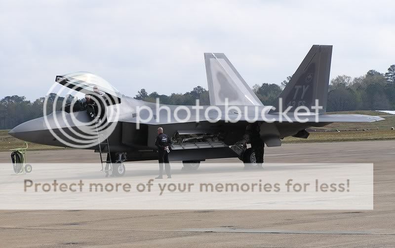
Dammit Chip, I was at Meridian NAS all weekend. If you had posted this on Friday I could have asked the several dozens of mil pilots and trainees hangingout on the ramp for a consensus...

MNASF22.jpg
 
The more I think about this, the more I'm convinced that it just means HI altitude procedures. Could not find any reference in the NACO charts. If someone has access to DOD FLIPs, the legend in those chart booklets may reference it.
 
Nope, DoD FLIP does not reference the hash. Just by flipping through the booklet, I do notice that ALL HI approaches have hash all the way accross top and bottom of the plate and ALL HI DP's have half hash top and bottom. And as far as the non-standard climb out theory, look at the APHID TWO DEPARTURE (can't find a link) out of Nellis AFB. The climb gradient chart is in the lower right.

EDIT: Update...The departures have half hash in both the HI and LO books. I'm stumped again and even our IP's don't have a for sure answer.
 
Last edited:
Nope, DoD FLIP does not reference the hash. Just by flipping through the booklet, I do notice that ALL HI approaches have hash all the way accross top and bottom of the plate and ALL HI DP's have half hash top and bottom. And as far as the non-standard climb out theory, look at the APHID TWO DEPARTURE (can't find a link) out of Nellis AFB. The climb gradient chart is in the lower right.

EDIT: Update...The departures have half hash in both the HI and LO books. I'm stumped again and even our IP's don't have a for sure answer.

There are plenty of published DPs (albeit many RNAV SIDs) that specify route segments above 7,000 feet, so I doubt those would be considered "HI" procedures. I'm pretty sure the diagonal black lines represent published approaches authorized only for military aircraft.
 
That's a good possibilty. I've never flown an approach in a non-mil aircraft. This may be a case of Ignorance is Bliss. Strange though that there are approaches and departures out of civilian fields that perhaps civil aircraft cannot use.
 
Back
Top