AA5Bman
Line Up and Wait
- Joined
- Jun 14, 2009
- Messages
- 792
- Display Name
Display name:
He who ironically no longer flies an AA5B
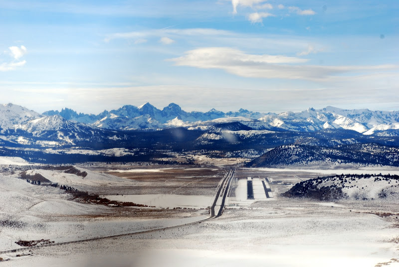
Curious if anyone can share some experience flying in and around Mammoth Lakes, CA?
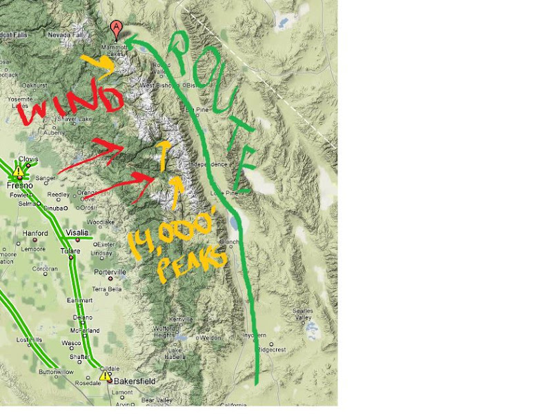
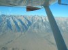
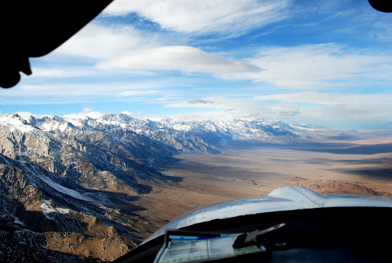
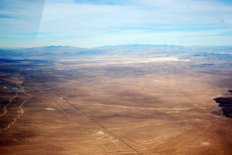
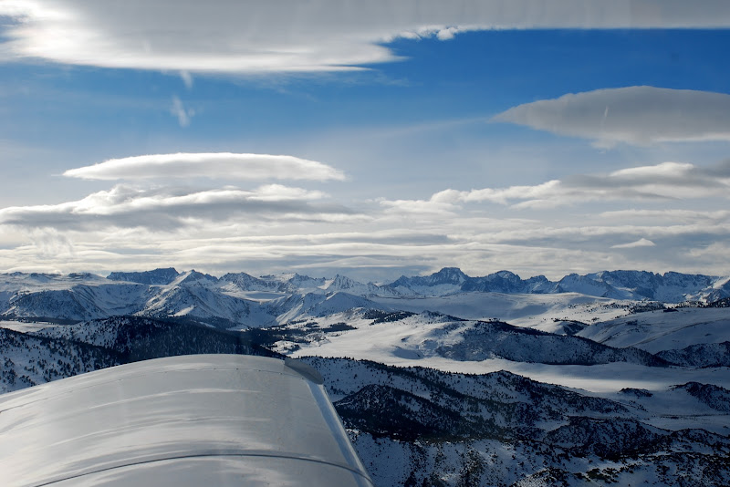
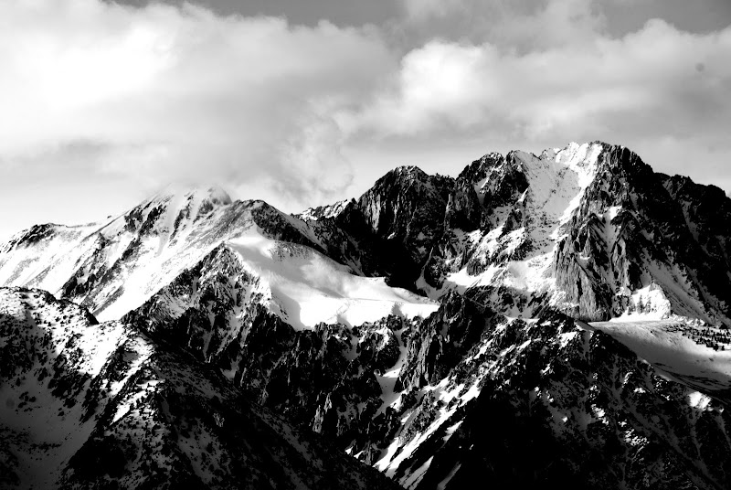
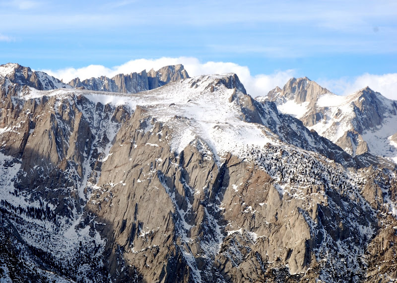
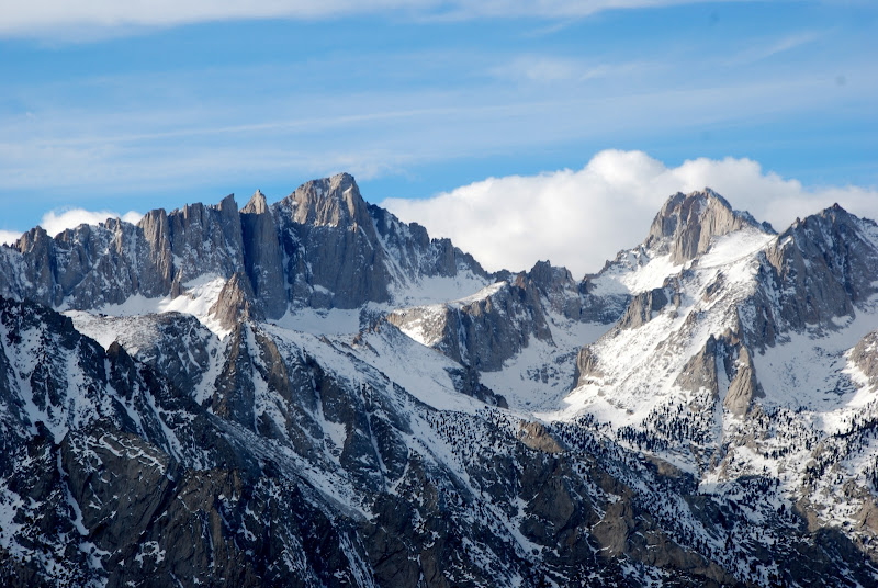
I'm based in LA and have always wanted to fly to Mammoth to ski, but am nervous about the winds and weather. Most of the route is straight up the Owens valley - more a gorge than a valley - running north-south on the lee side of the southern sierra and it's endless 14,000' peaks. I know the wind just whips up there - reports of 100+ mph at ridge-top are not at all uncommon. To make matters worse, visibility and precipitation at KMMH is nothing if not unpredictable.
The weather looks pretty mild for the holiday weekend and I'm thinking about making the trip Thursday through Sunday. If anyone has some thoughts or experience to share, I'd sure appreciate it!
Thanks in advance,
MB


 .
.