Leave your keys and wallet behind. When you rent the plane the appropriate documents are there and you should have been checked out in the operation of the systems.
You don't indicate any knowledge of what WAAS means (hint: it has nothing to do with weather) so I doubt you're IFR certified or current and you don't need to be worrying about WAAS certified GPS for VNAV approaches.
The buttonology (not a word I know) is close to the same between the 400 thru 530 series navigators (with or without WAAS)
Don't buy any books, just read the ones they have to provide with the rental
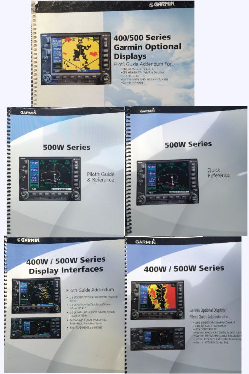
Those
are the actual manuals from the plane (covers at least).
I know what WAAS means (wide area augmentation system), and I generally know what it does for GPS in terms of accuracy, but I also know that the word "weather" starts with a W too so I really wasn't certain whether or not all the W-suffixes on these manual indicated WAAS or Weather.
I am not instrument rated, but I have passed my written and plan to start the flight training soon. I am considering this plane for training. I want to train in a round-gauge plane, and while I may admittedly be naive, I
think I am interested in learning to fly instrument approaches with a WAAS-certified Garmin GPS too.
I was really hoping that somebody like you could tell me if the
actual manuals from this very rental, as photographed by me and first shown above, clearly indicate whether or not the unit is WAAS certified.
I will eventually, of course, go back to the plane and turn it on, look at the SD cards, etc., but my curiosity to know sooner got the best of me.
Your thoughts are welcome.

")