Okay, I'll pull a Scott and resurrect this thread. Leslie and I are in Scottsdale this week, and I just got checked out in a Turbo 182. We're planning to head up to the Grand Canyon on Saturday leaving at 9:00 (someone else wanted the plane earlier that day for an instructional flight).
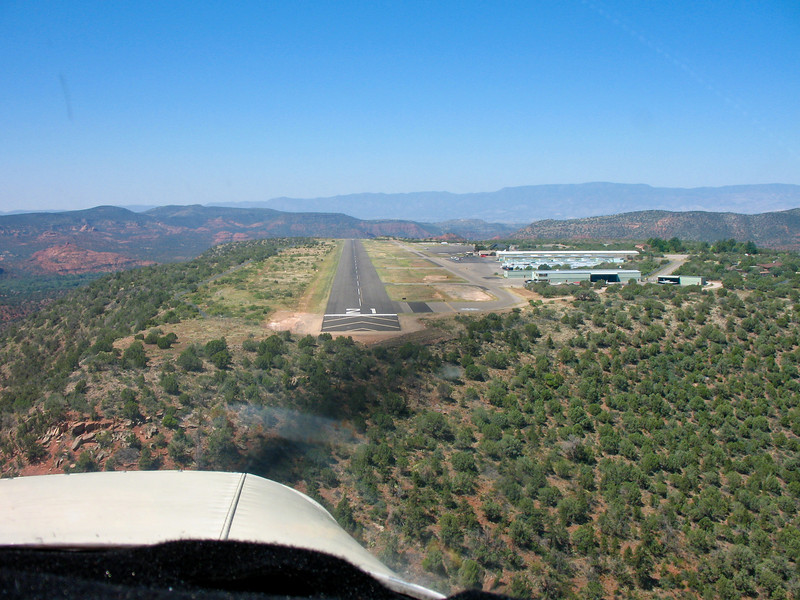
I'm thinking we'll head over Love, up to Tuckup Corridor, back south through Dragon Corridor, and land at KGCN to take a taxi to the rim. Then depart, land at Tuba City for GoFlyAmerica, overfly Meteor Crater, and maybe to Sedona for dinner before heading back to Deer Valley. Is that too much for one day? Would anyone suggest other must-see locations?
(I did consider doing a few other airports around Farmington for GoFlyAmerica, but don't think I'd have time to get them in. Not too comfortable mountain flying at night, even with a G1000 for terrain.)
 at night, in theory. Instrument ODP then cancel and follow the Interstate for safety?