Sac Arrow
Touchdown! Greaser!
- Joined
- May 11, 2010
- Messages
- 20,333
- Location
- Charlotte, NC
- Display Name
Display name:
Snorting his way across the USA
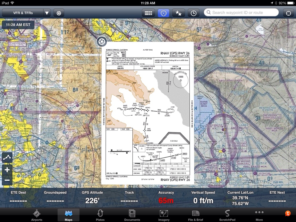
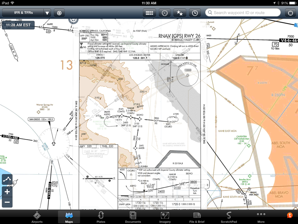
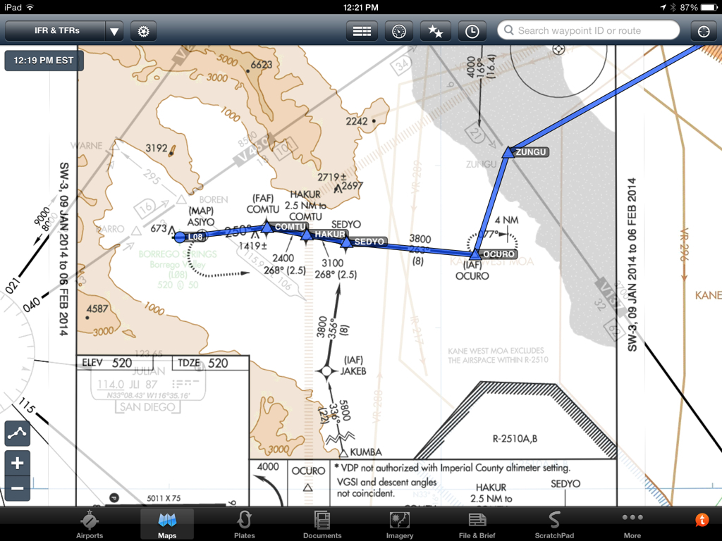
I'm not talking about georeferenced plates, I'm talking about overlaying an ILS, VOR or NDB approach on the enroute chart on the Ipad with Foreflight, complete with procedure turns and holds like you can do with a 430 or 530.
Is there a convenient way to do this, short creating some complex route by connecting all the waypoints?
Is there a convenient way to do this, short creating some complex route by connecting all the waypoints?
Last edited: