Eric Gleason
Pre-takeoff checklist
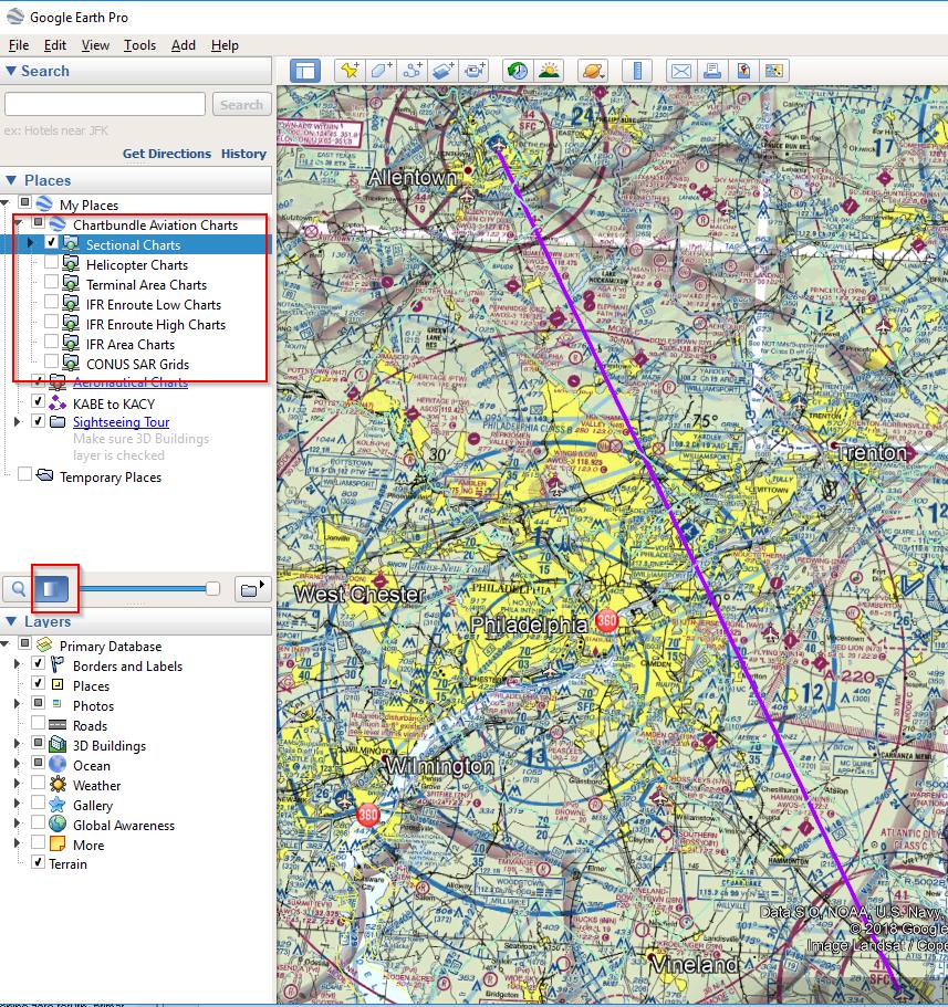
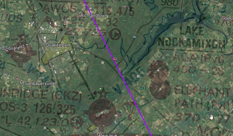
While playing with Google Earth and reviewing a ground track saved from Foreflight, I realized that it can be a good tool to help brief the arrival at a new airport. I've often found unfamiliar airports hard to see (sometimes even familiar airports), so knowing what the approach looks like from altitude has worked well.
Anyone tried it?
Anyone tried it?