Central America EFB, Wx, and Charts?

Cogito

Pre-takeoff checklist
Joined
Mar 17, 2013
Messages
376
Location
Los Angeles
Display Name

Display name:
Cogito
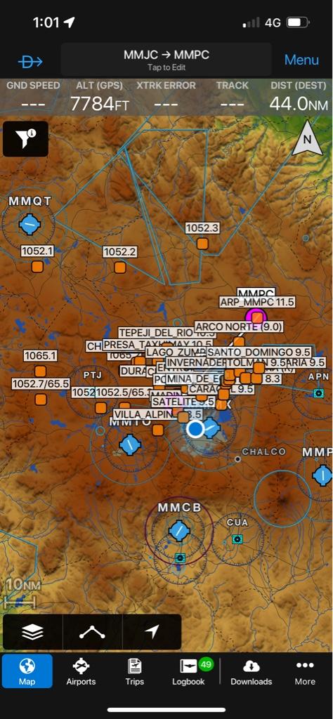
I’ve been asked to fly a VFR experiment aircraft from Panama to Los Angeles, CA. It’s a type of plane I have many hundreds of hours in, and I’ll load charts into the G3Xs onboard, but I’ve never used ForeFlight or Garmin Pilot outside the USA. (I prefer ForeFlight, but have experience with Garmin Pilot.) It looks like I can load Jeppesen IFR charts into ForeFlight for Central America, but I don’t see VFR. For those of you with experience, what EFB and weather product do you use while flying VFR in Central America?
 
VFR coverage depends on each country. You will need each country's AIP or ask the locals. Plenty of legal GA.
I would also suggest going to Facebook groups of pilots
 
Get the charts with updated war lord geographies, the going rate for AV gas and ransom, and any local rules when overflying drug cartel-controlled city states. Also, at what altitudes do the drug planes fly at? Is it similar to the Even / Odd system in the US?
 
VFR coverage depends on each country. You will need each country's AIP or ask the locals. Plenty of legal GA.
I would also suggest going to Facebook groups of pilots
Thanks. There’s no EFB which would cover the flight?
 
Garmin Pilot has a South America option. Not sure exactly what's in it, but a quick call to Garmin customer service should answer it.

EDIT - My Garmin Pilot subscription was about to expire, so I looked at South America. VFR charts are for Caribbean and Brazil. Unclear what additional feature Jeppesen provides.
 
Last edited:
Dumb me
Here’s my Garmin Pilot with LatAm subscription on. Each user waypoint you see there is a VFR reporting waypoint with its max altitude that the government VFR chart shows but GP doesn't even consider

Useful, yes but wouldn't rely only on Garmin Pilot. VFR in this part includes a lot of informal knowledge like reporting points
4f62a0d0756f606ed4f1927c381e2a76.jpg


Sent from my iPhone using Tapatalk
Not dumb at all, exactly the information I was looking for (not that I didn't enjoy the humorous responses as well.)
Thank you.
 
ForeFlight "aeronautical map" will provide decent coverage of airports, airspace, airways, and waypoints for Mexico and Central America.

Pseudo-sectional (actually outdated WAC) charts for Mexico that can be imported to ForeFlight:
http://zeroslope.com/maps/
 
Last edited:
ForeFlight "aeronautical map" will provide decent coverage of airports, airspace, airways, and waypoints for Mexico and Central America
I normally never use the aeronautical map and didn’t notice that, thx.
 
There are MANY advantages to the Aeronautical Map in ForeFlight:
Watched video, thank you. I generally use aeronautical map set Track-Up on the Garmin PFD, but pre-flight in foreflight with standard charts, (just primacy.) In flight I only use iPad to find hotels and restaurants, the exception is approach plates seem to be easier to read on ForeFlight than on a plane's EFIS. Thanks for tip.
 
It's coast line all the way and you will never hit a mountain if you stay a bit off shore. The last time I flew most planes monitored 122.8 and we could get real time WX from planes up ahead.
 
I’ve been asked to fly a VFR experiment aircraft from Panama to Los Angeles, CA.

This isn’t directly related to you question, but I have read that Mexico is giving US Experimental Airworthiness Certificates a bit of trouble.
 
This isn’t directly related to you question, but I have read that Mexico is giving US Experimental Airworthiness Certificates a bit of trouble.
thx, if you have a link or can remember where you read that, I’d be grateful.
 
Back
Top