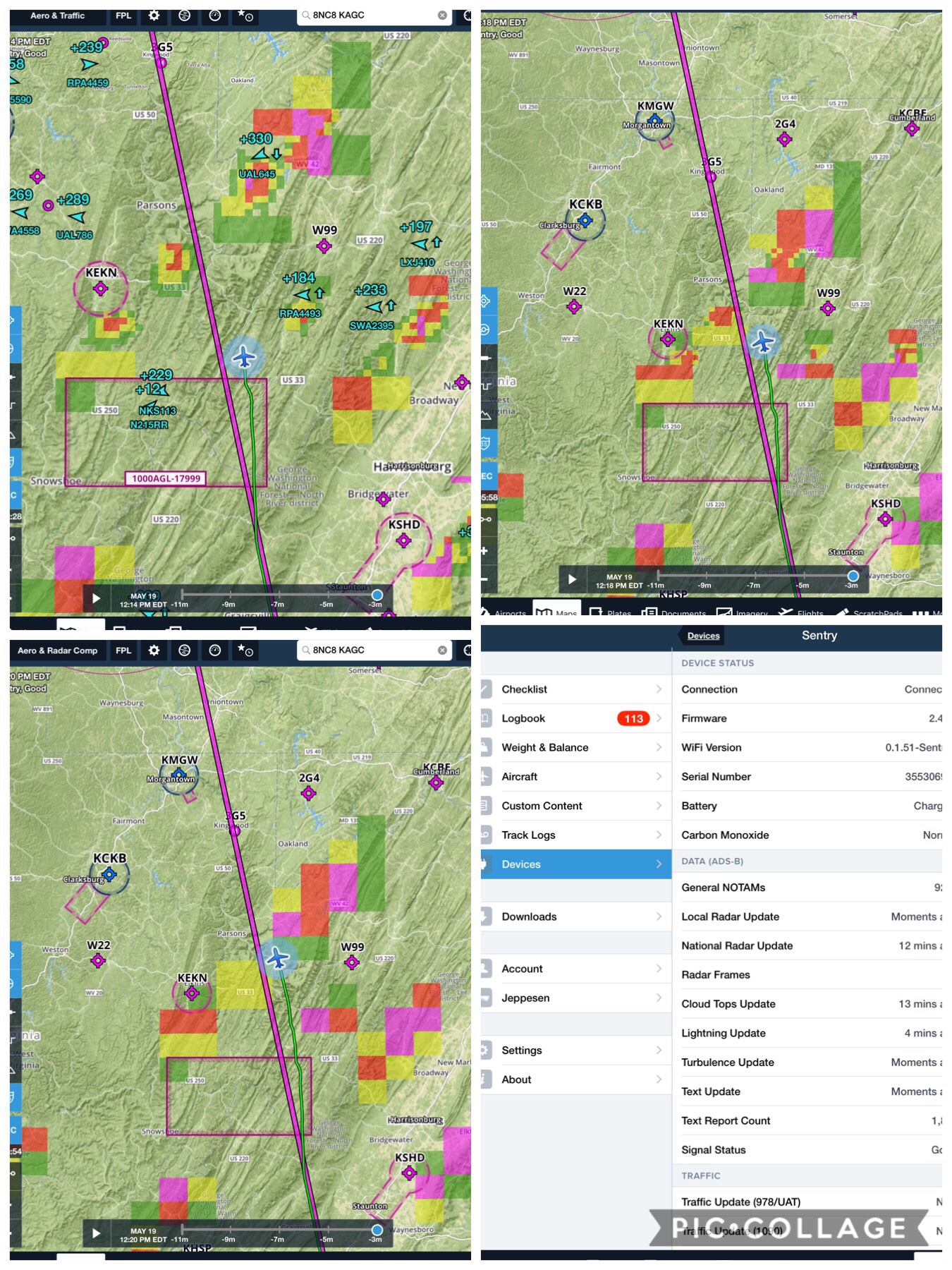
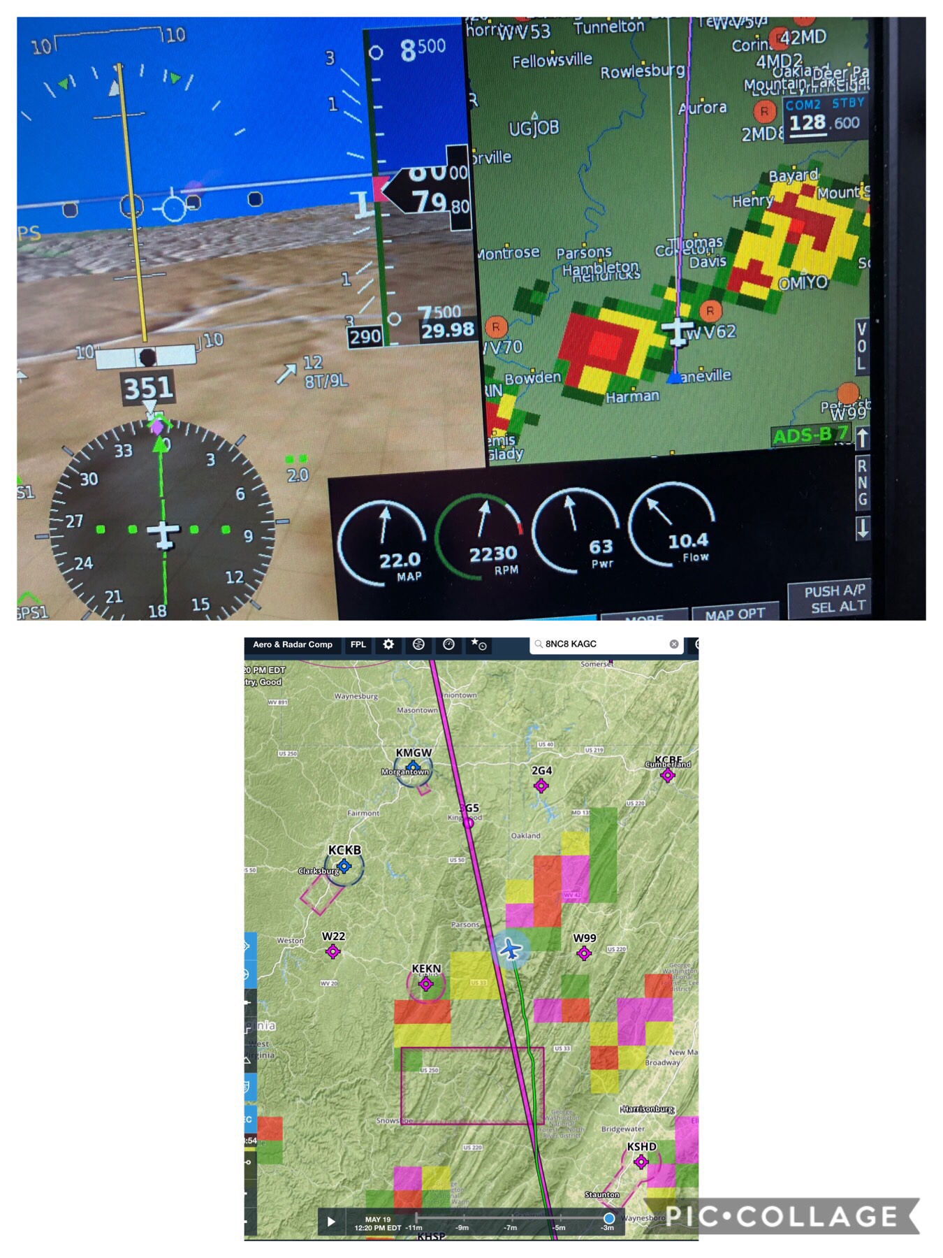
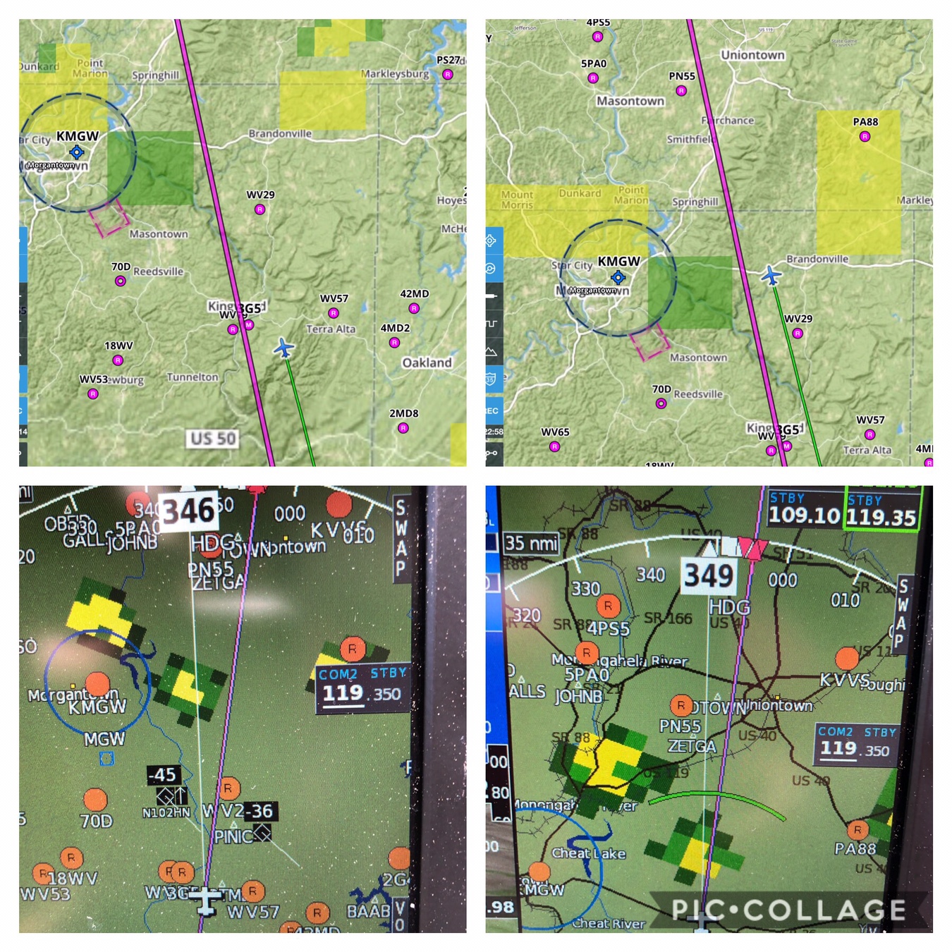
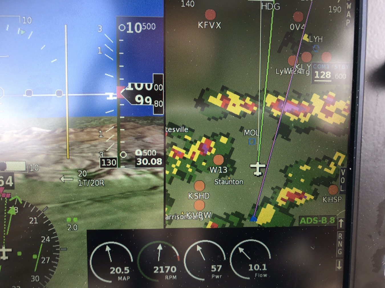
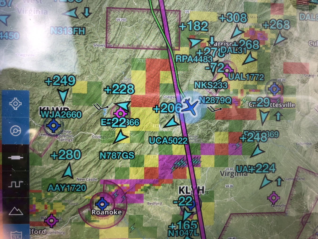
Remember folks....none of this info is "real-time". It gets stale real quick...especially with a squall line of thunder boomers. It shouldn't be used for "tactical" navigation. It's great for strategic but not so much for real-time tactical.
Knew this was coming as it always does in discussion of NEXRAD use in the cockpit. It’s a responsible perspective and lacking an agreed to definition of ‘strategic’ vs ‘tactical’, it’s arguably correct.
But I do disagree. NEXRAD in the cockpit is and has been a game changer for this pilot’s day to day flying in convective conditions. That’s tactical weather avoidance in my book. But a good number of qualifications need to be stated.
Flying around a squall line of TS is generally not recommended for the light plane and it’s pilot. It’s good to know where it is and how it’s moving based on Nexrad animation features. In my part of the country it’s useful to understand where you can exploit the SW to NE tailwind in front of it and where you can experience improving conditions behind it but most important, penetration is not a good practice. If it’s a fast mover, waiting is the best strategy.
But moving around the SE US requires flying on days with TS strong convective buildups if you want to go places on any kind of schedule. Using Nexrad, in the air, is the best way to do that. While flying underneath and avoiding rain shafts is viable, I like to get as far above cloud base as I can comfortably, and fly around the buildups.
It often requires making decisions about whether to go left or right to circumvent a buildup based on cells that are not yet visible to the eye, or onboard radar for that matter. That is where in certain circumstances, Nexrad can even be better than on board radar. That was my experience on one flight around JAX some years ago.
Of course the best approach is to have radar, Nexrad, and Stormscope-like technology on board but few of us can do that in our SEL flivvers. And even with all that aboard, it’s best simply to not penetrate large, tall or embedded, convective buildups in our planes.
Use the Mark 20 eyeballs to stay clear of those churning piles of trouble. And then use whatever tools you have to help your decision making to get around them safely and in the calmest air you can find.
Since I’ve never flown with on board radar or a Stormscope, this advice is given with only limited knowledge and experience so be careful out there.
Sent from my iPad using Tapatalk Pro
 I'll have to try to get one next time I go flying in stormy weather.
")