Anymouse
En-Route
- Joined
- Jul 30, 2007
- Messages
- 3,167
- Location
- Clinton, AR (Sometimes)
- Display Name
Display name:
Total Stud Bush Pilot
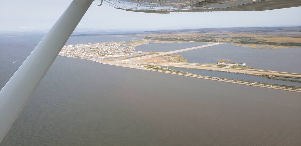
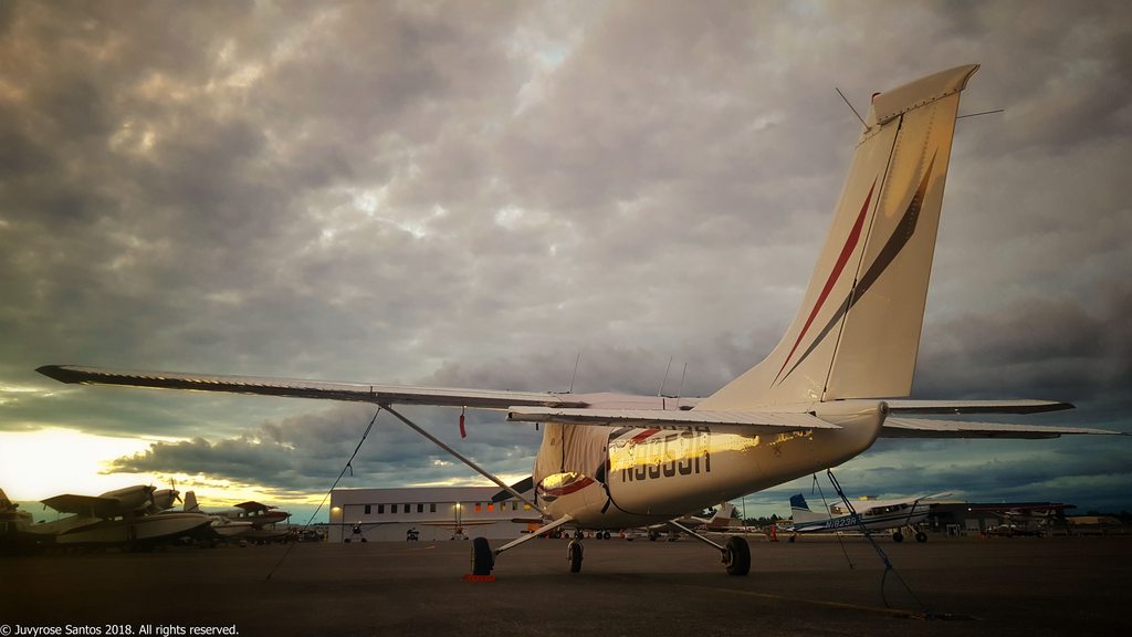
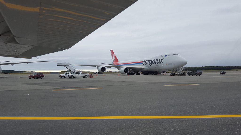
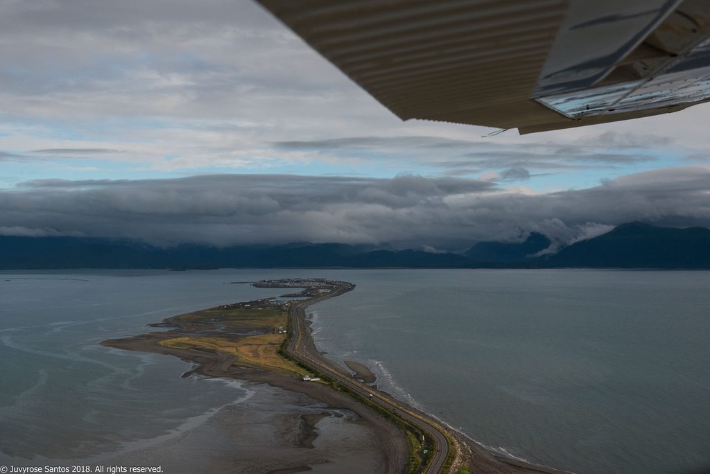
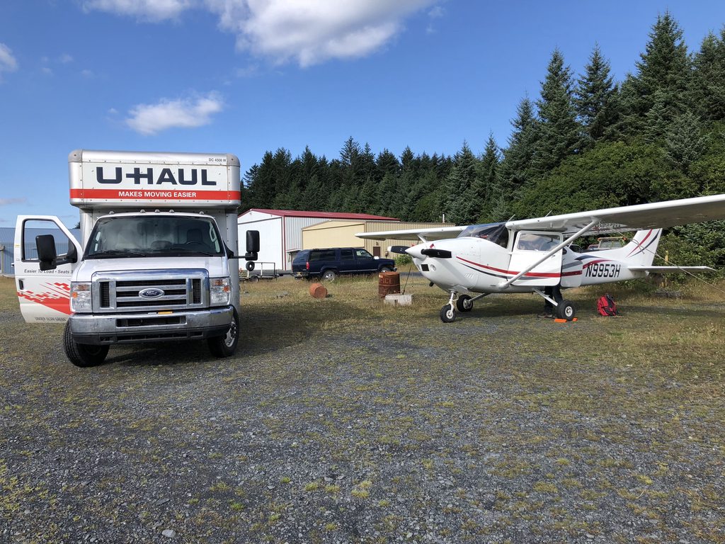
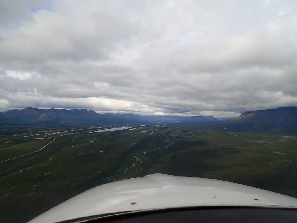
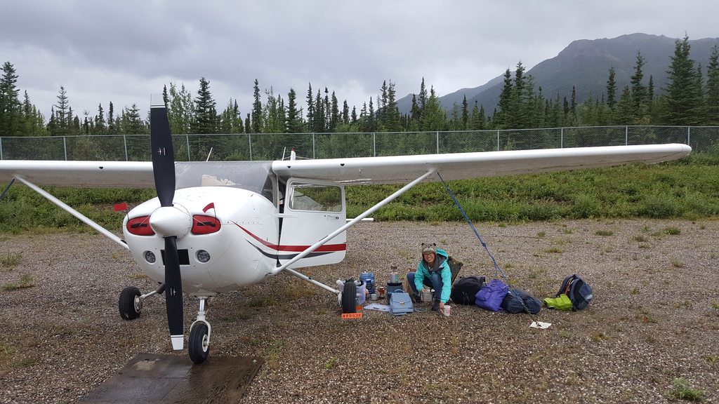
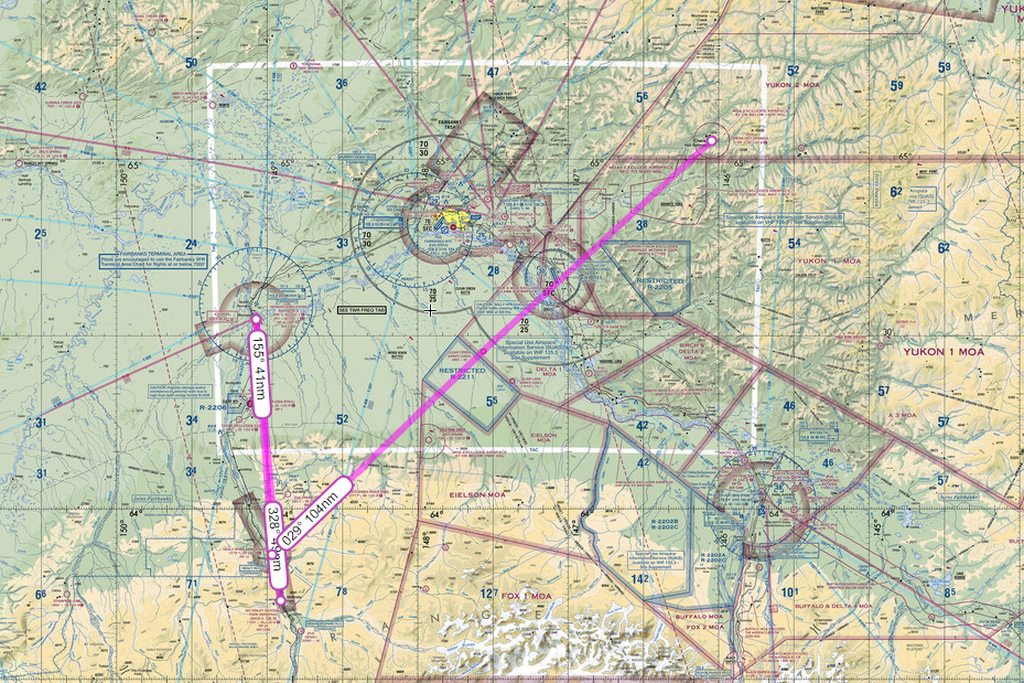
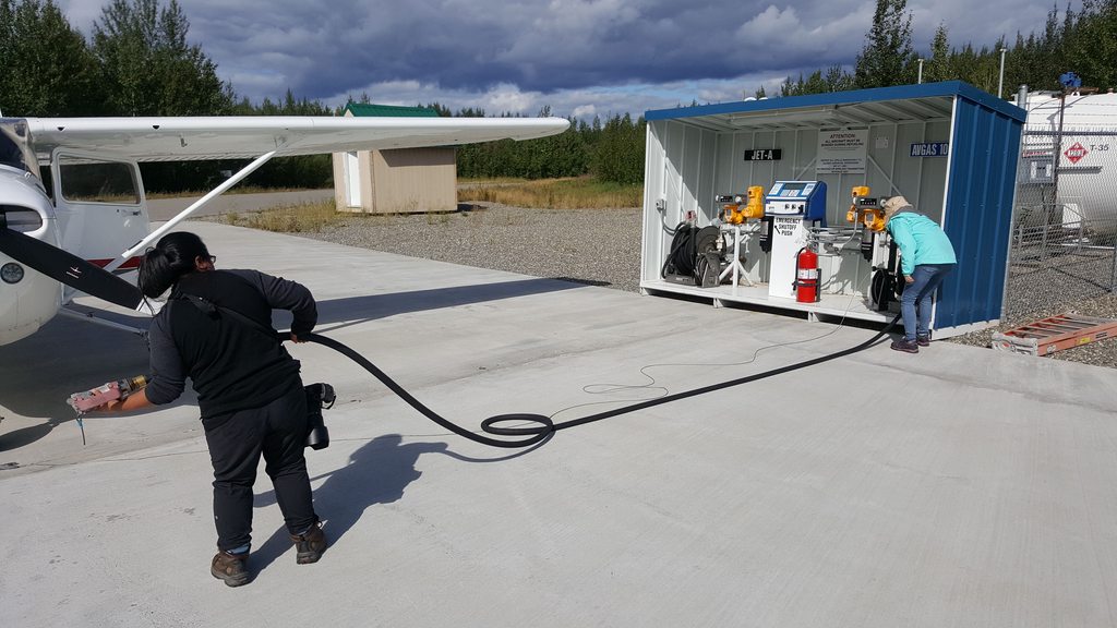
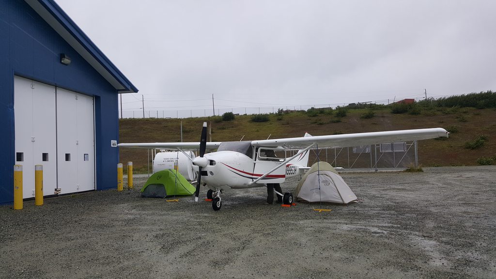
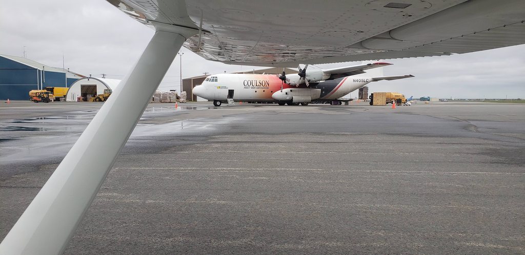
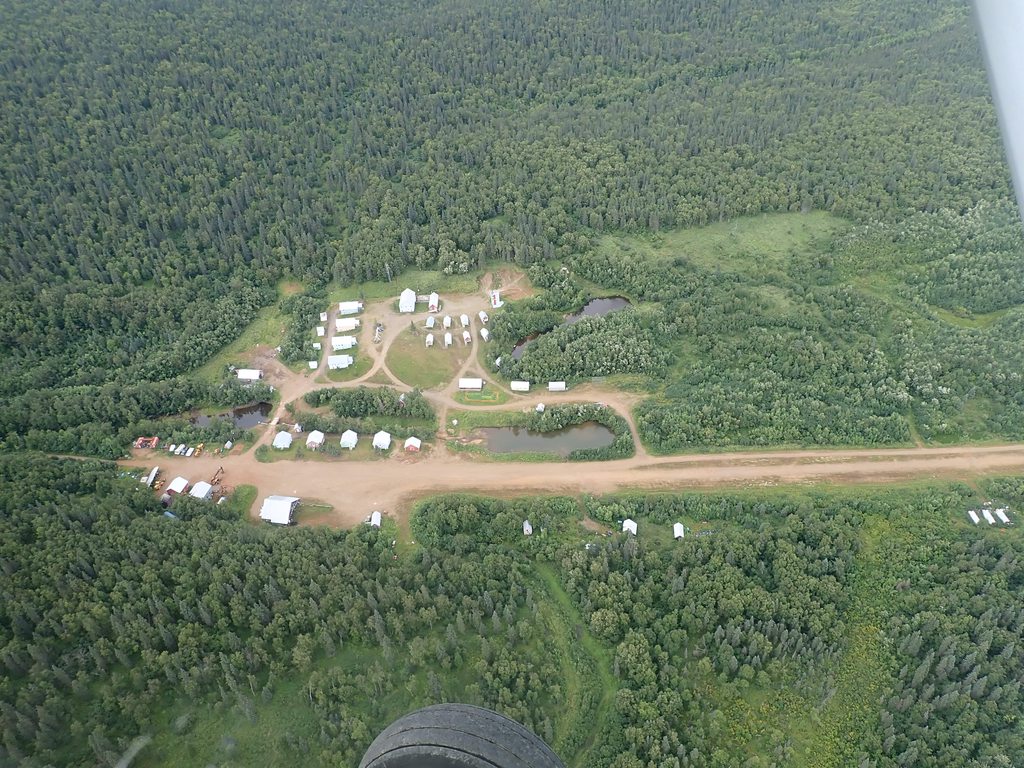
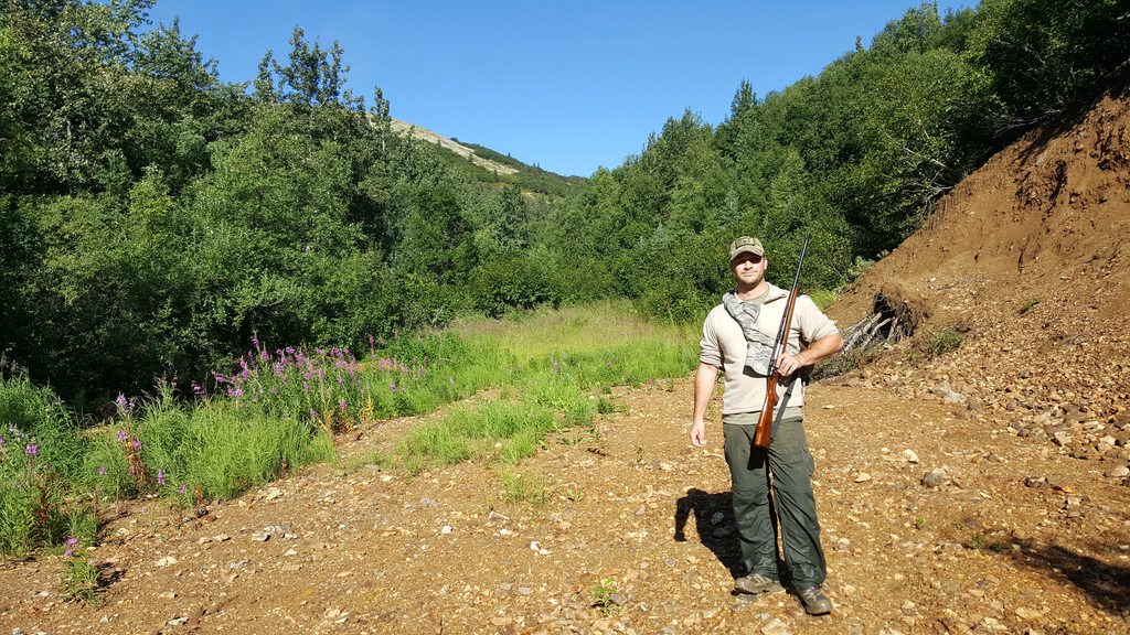
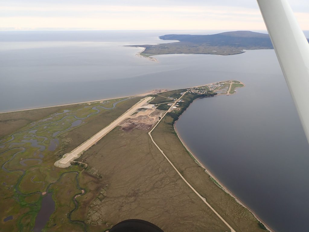
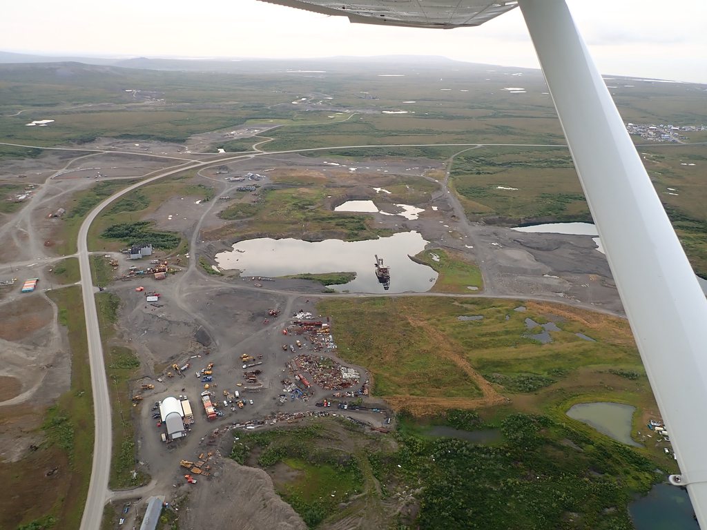
BTW... Did anyone notice the double centerline on that "taxiway?"
BTW... Did anyone notice the double centerline on that "taxiway?"
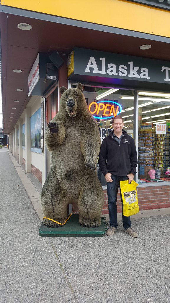
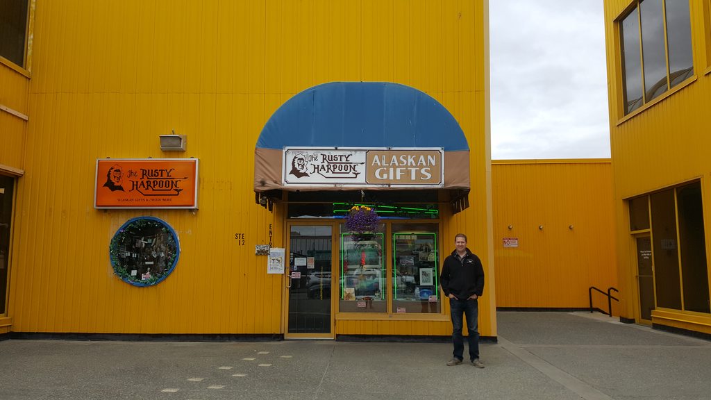
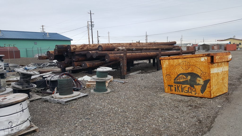
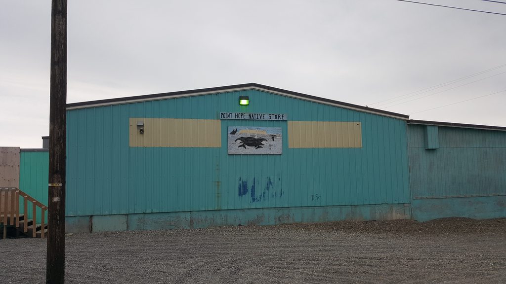
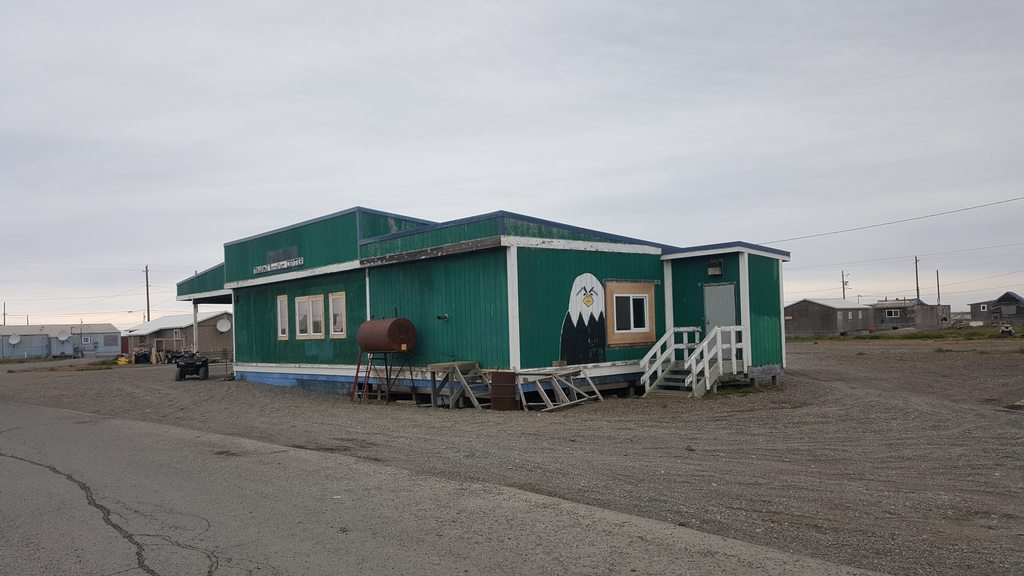
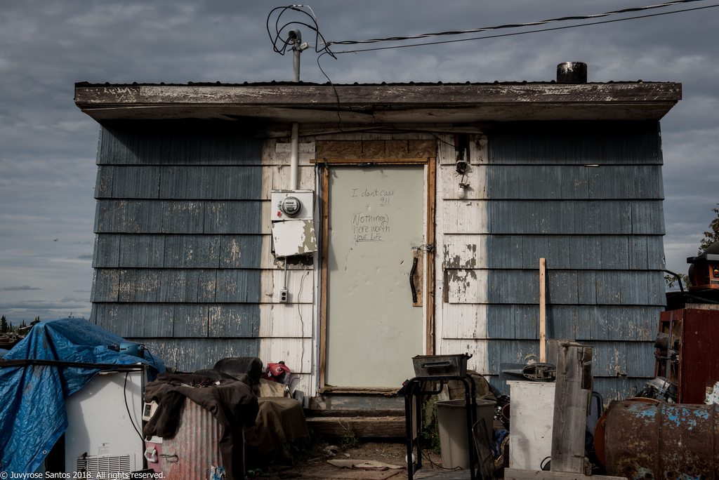
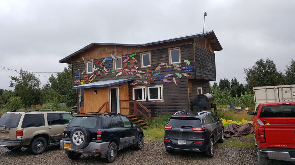
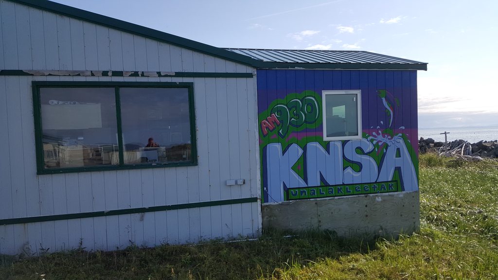
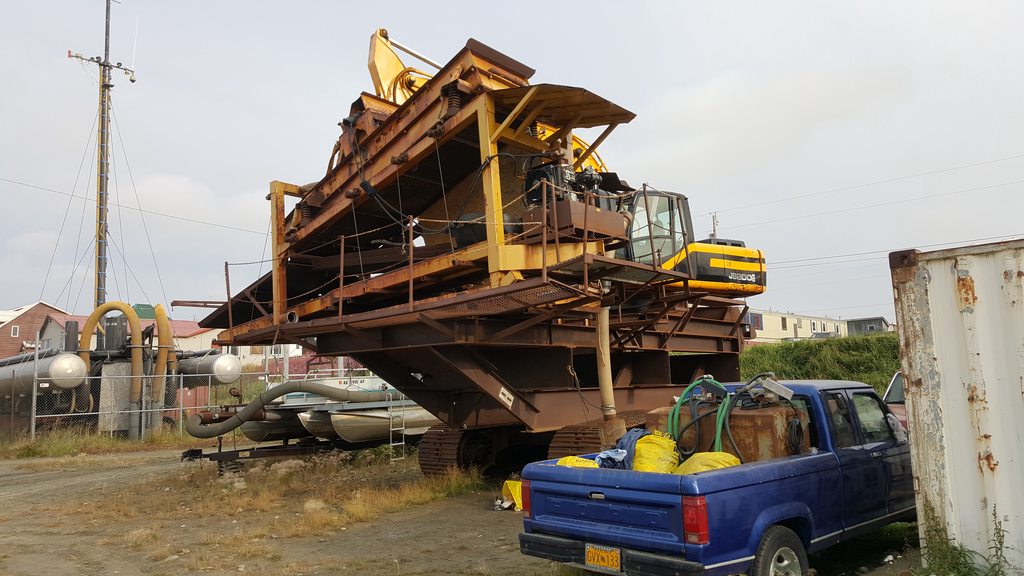
We made an attempt to visit a shop belonging to @Anymouse 's cousin, but it turned out to be closed on Mondays, so we had to make do with a photo outside instead!
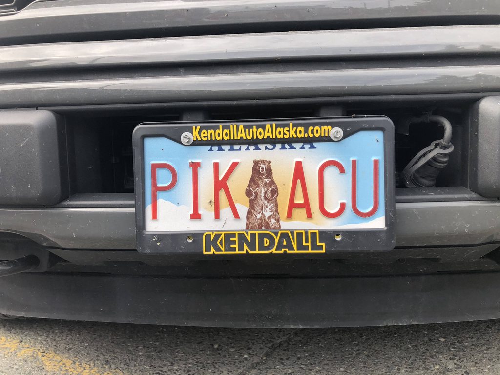
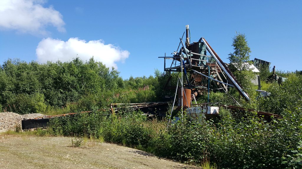
@Anymouse’s cousin’s store. The name sounds like a euphemism for something.
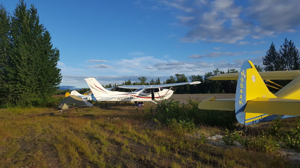
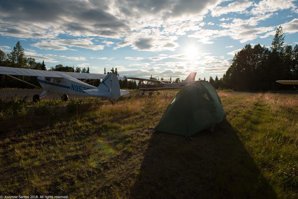

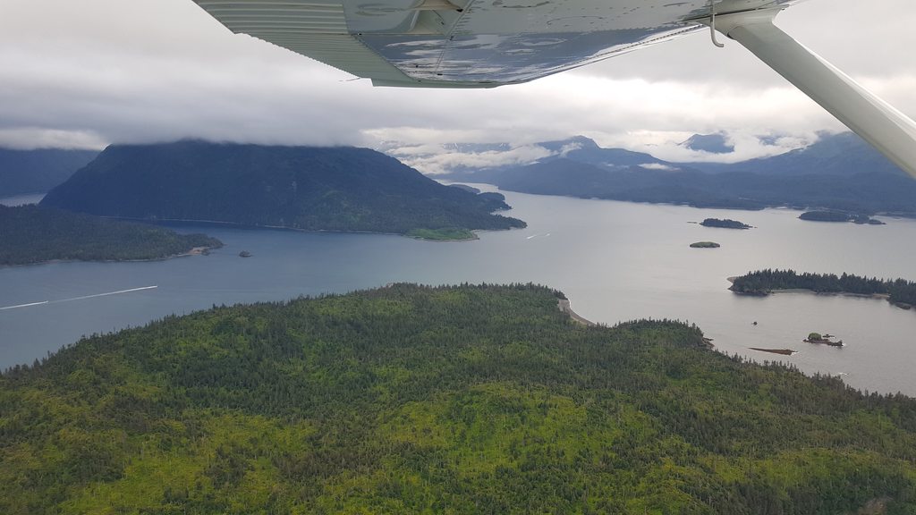
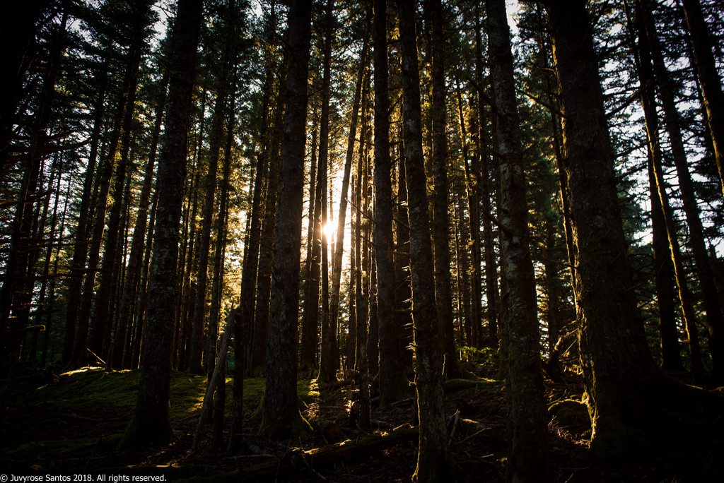
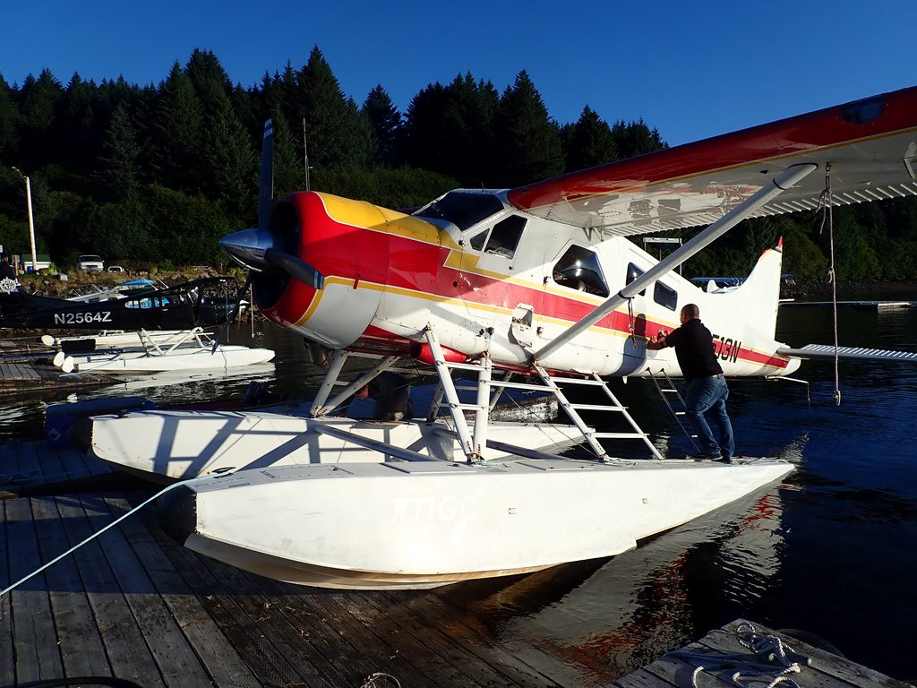
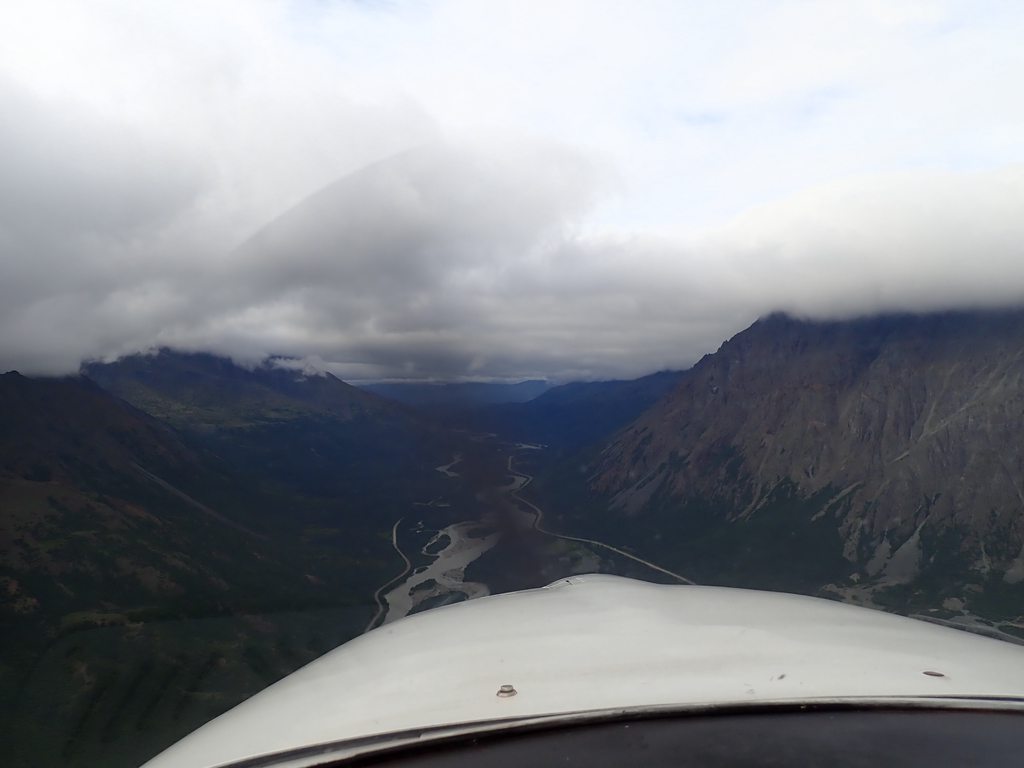

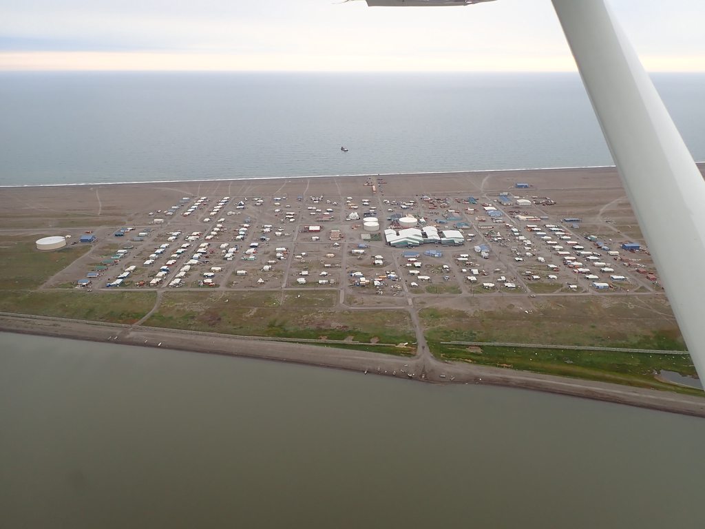
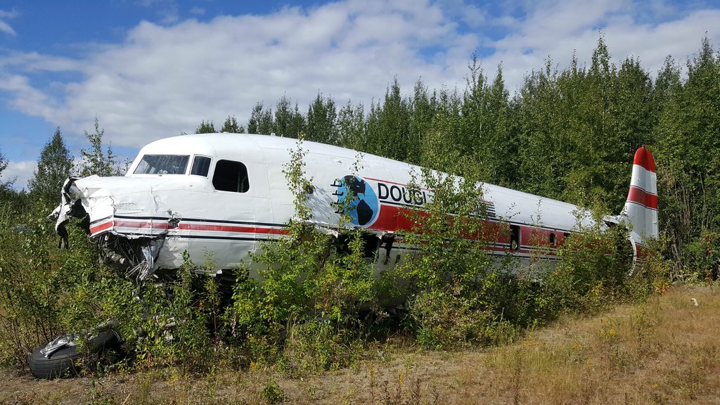
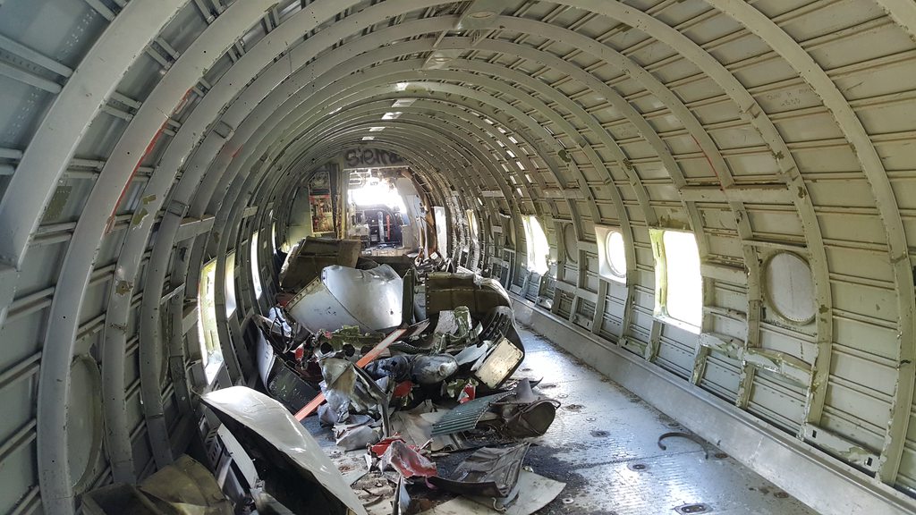
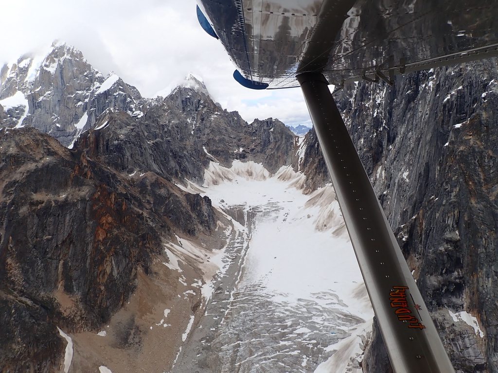
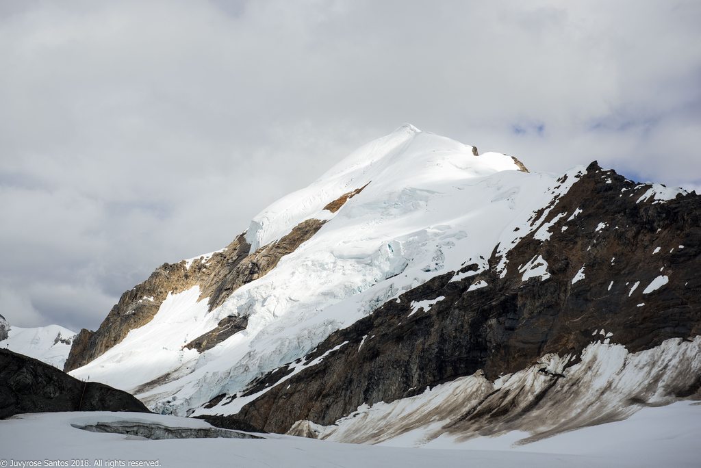
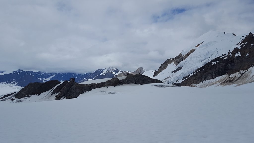
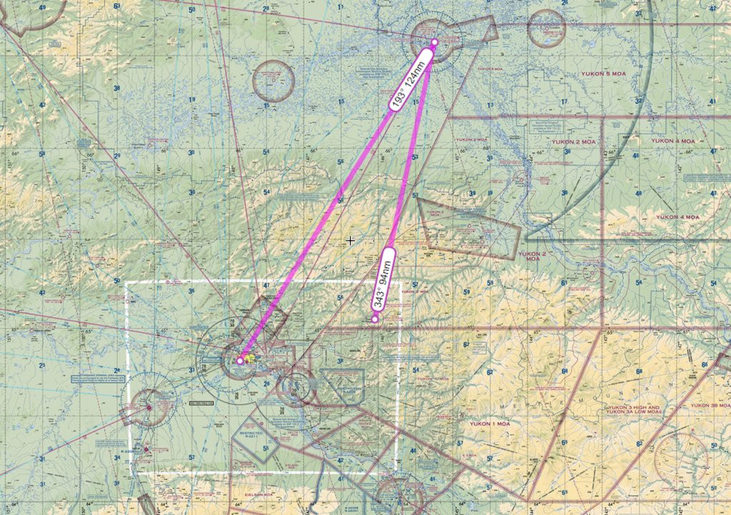
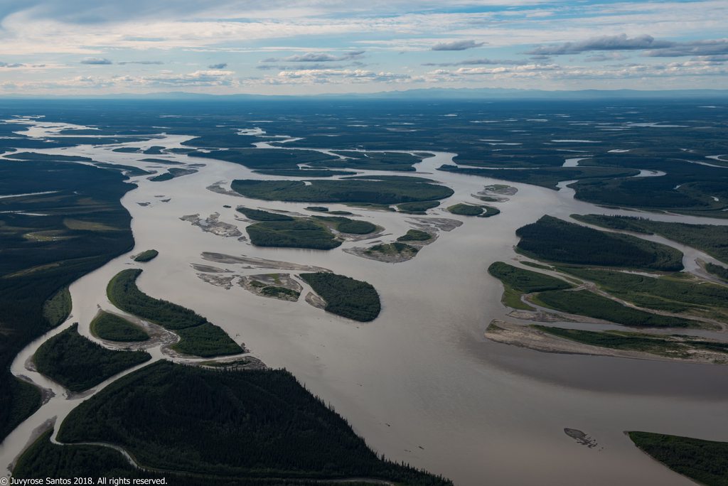
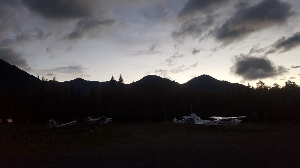
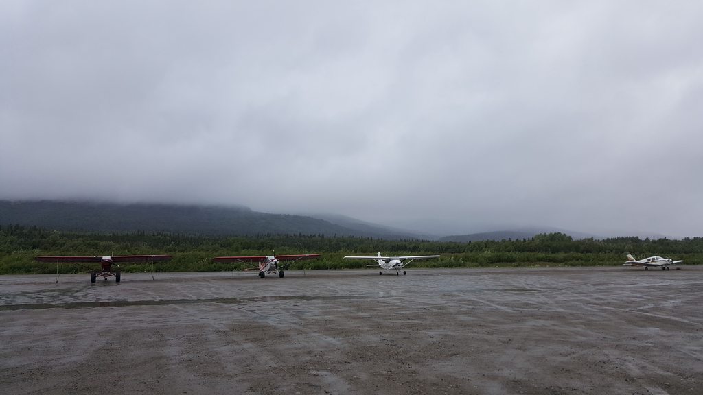
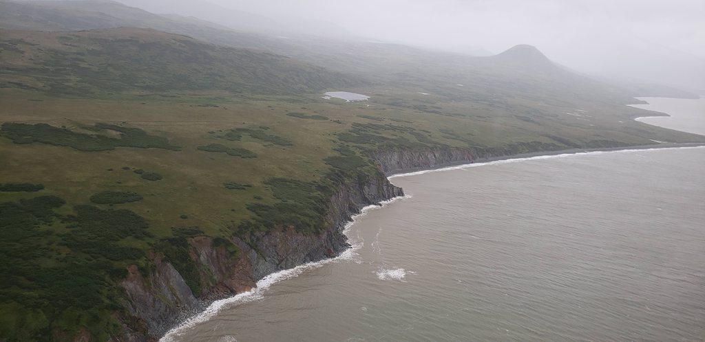
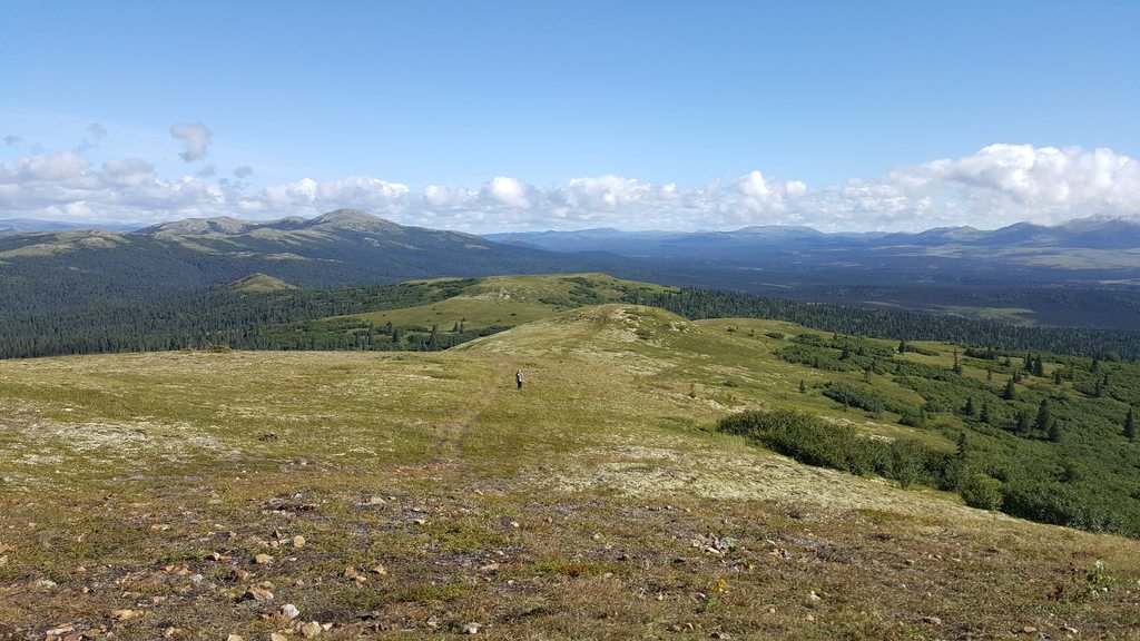
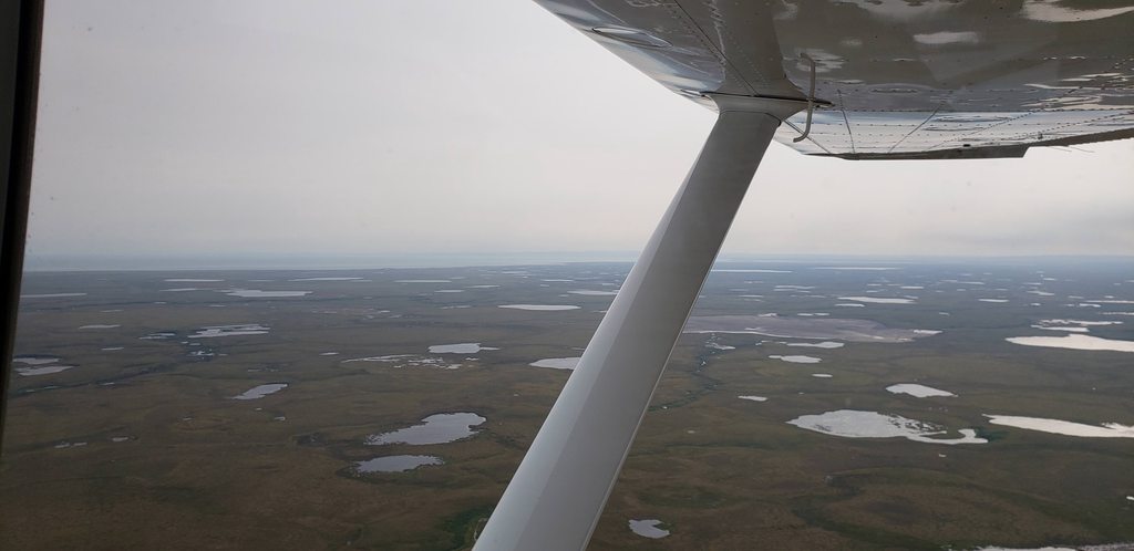
The planes were parked at Kantishna strip, which back then was a one way in, one way out with the word HAZARDOUS in big letters on the chart.
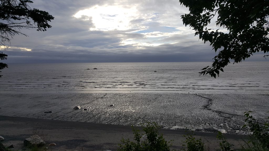
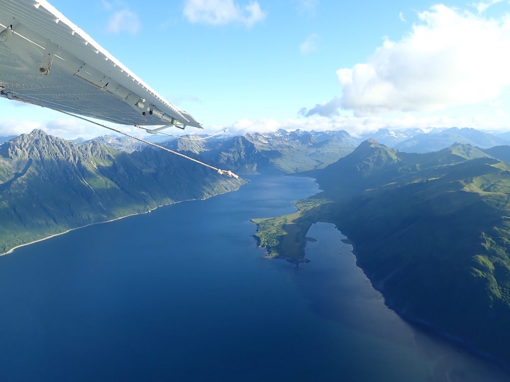
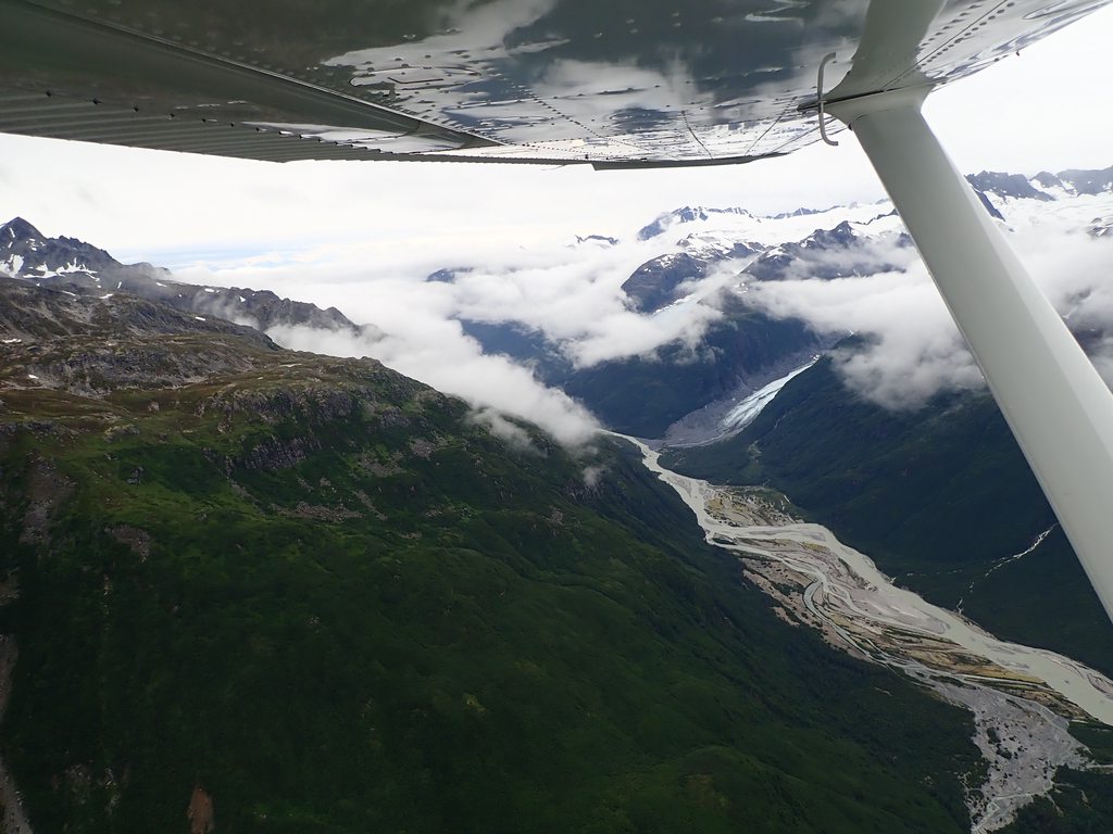
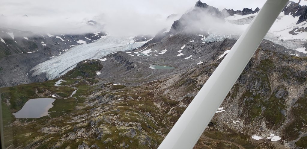
Hotel, clinging to the rocks:
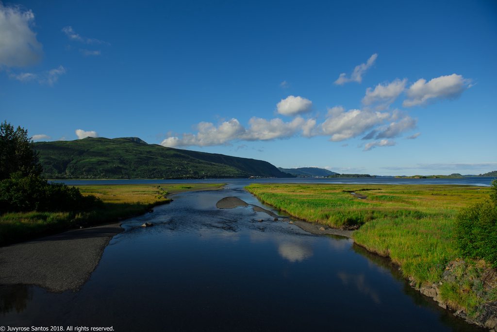
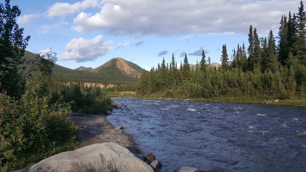
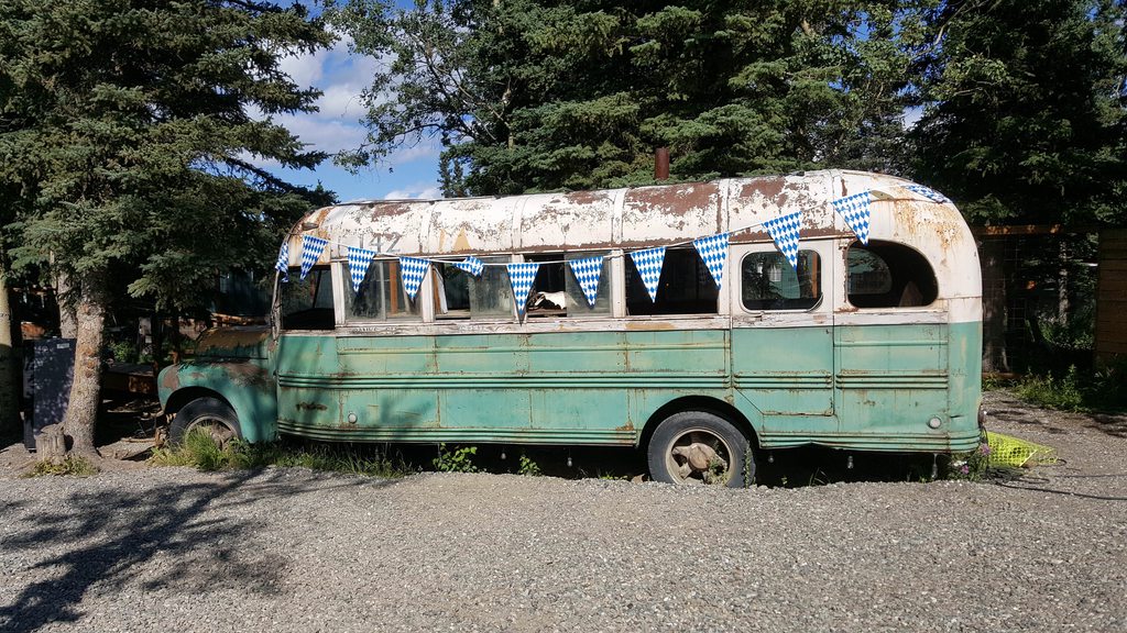
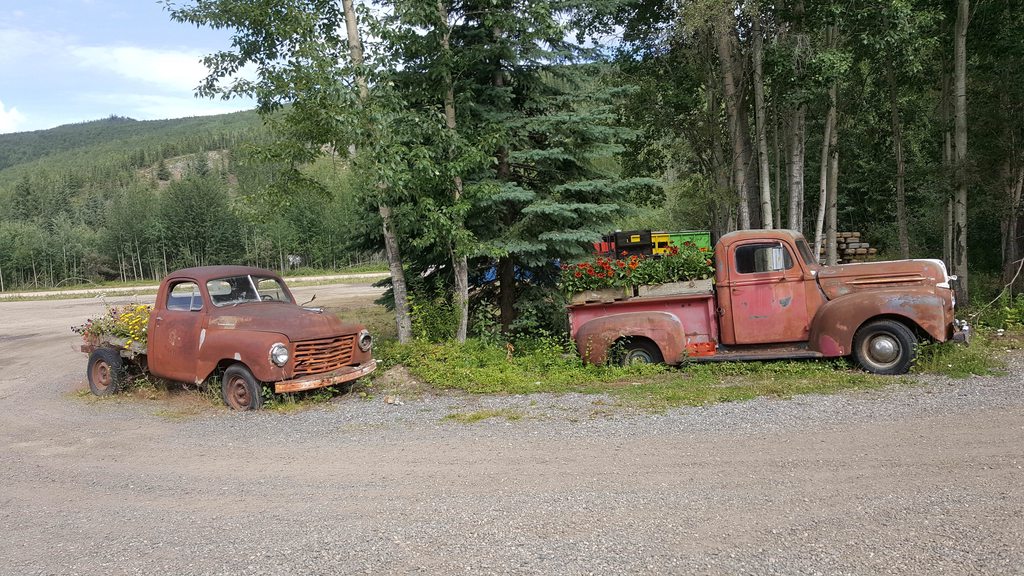
Oddly, the bus from the film version of “Into the Wild” was parked at the restaurant. The events of the famous book and movie had played out just miles away, not nearly as far from civilization as I’d supposed. If he’d just walked along the river a few miles in either direction he’d have come across people and been fine.

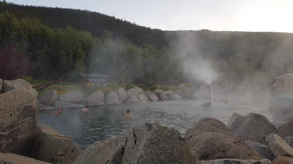
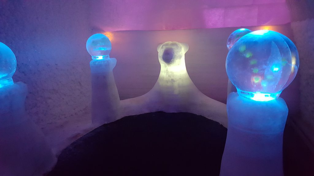
Definition of courage: Taking off your clothes in the middle of winter to step into the hot springs. Every cell in my body was warning me that I will freeze to death in seconds.
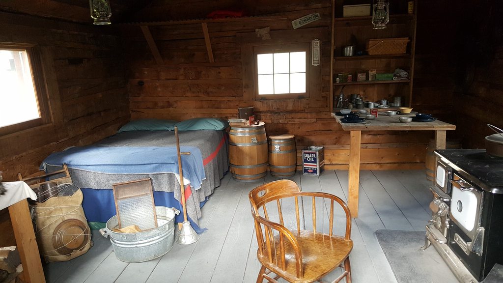
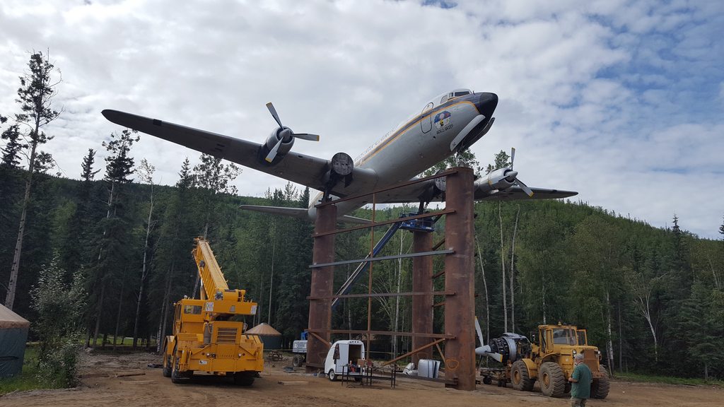
Don Sheldon's house!!
https://www.amazon.com/Wager-Wind-D...9J70/ref=sr_1_1?ie=UTF8&qid=1536397145&sr=8-1
I always wanted to stay there, but yeah, it's pricey!!
 ) Sounds like the house is $500/person/night, minimum 4 people, minimum 3 nights.
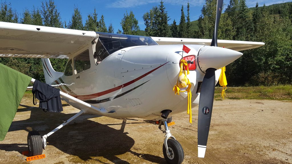
I've noticed that several of your posts talk about how some of the locals aren't welcoming. Any idea as to why?
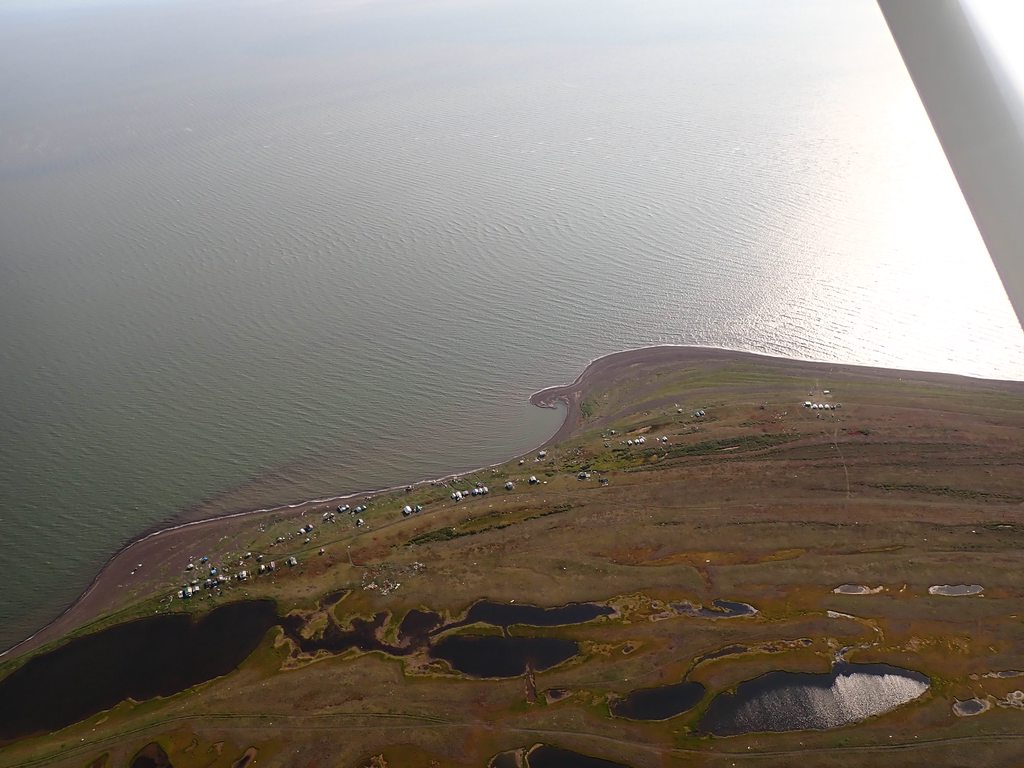
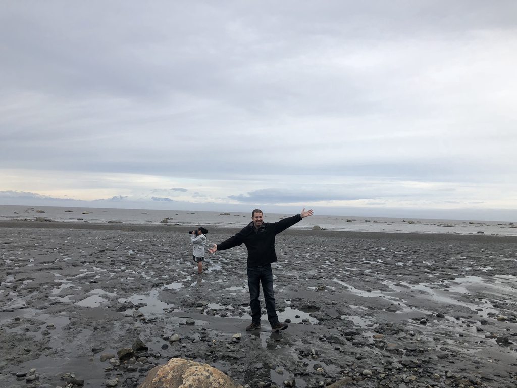
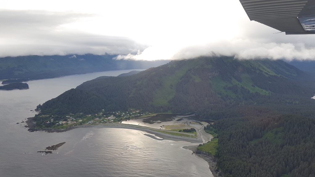
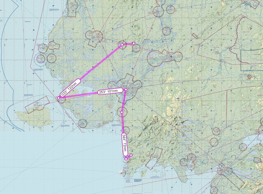
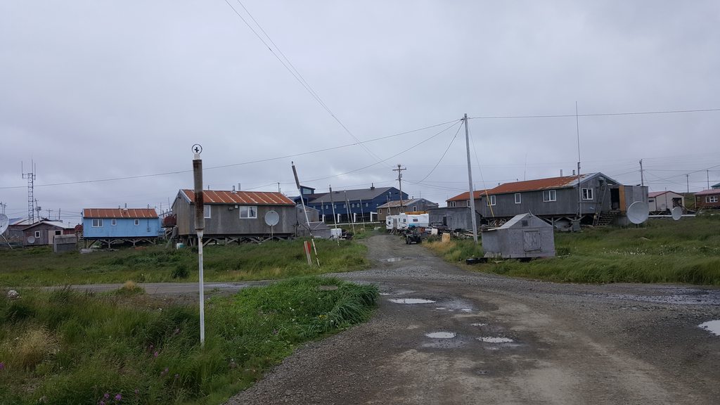
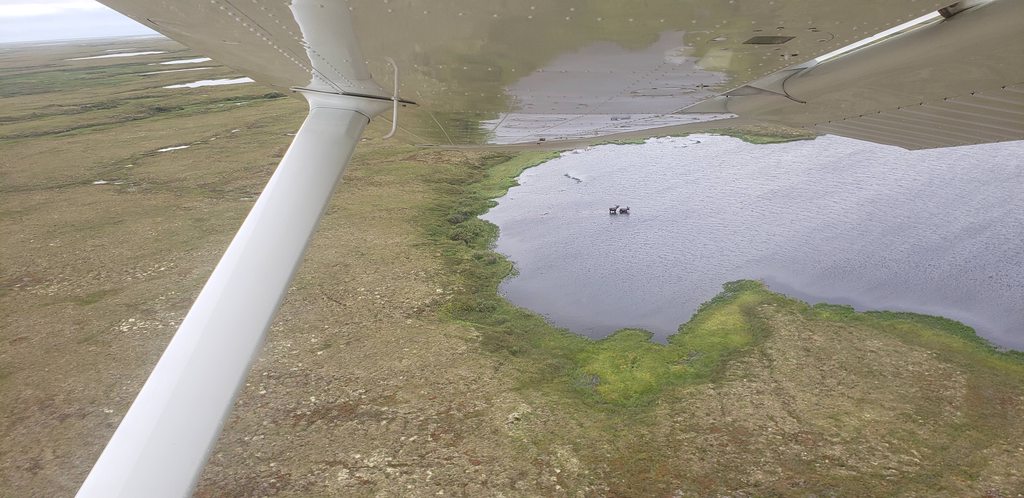
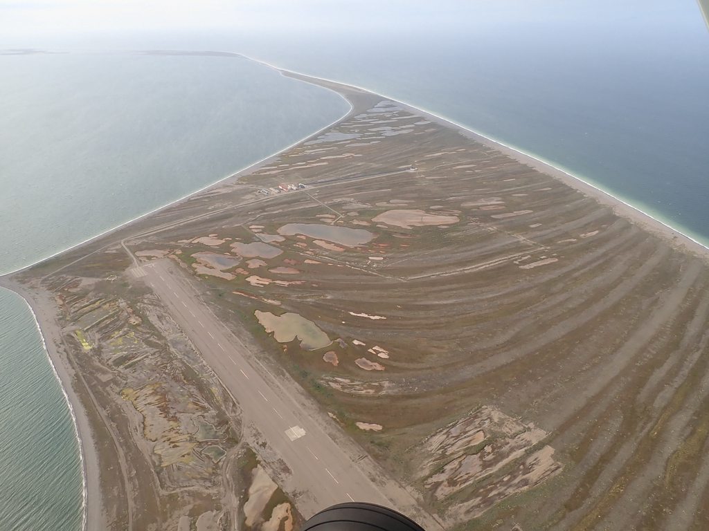
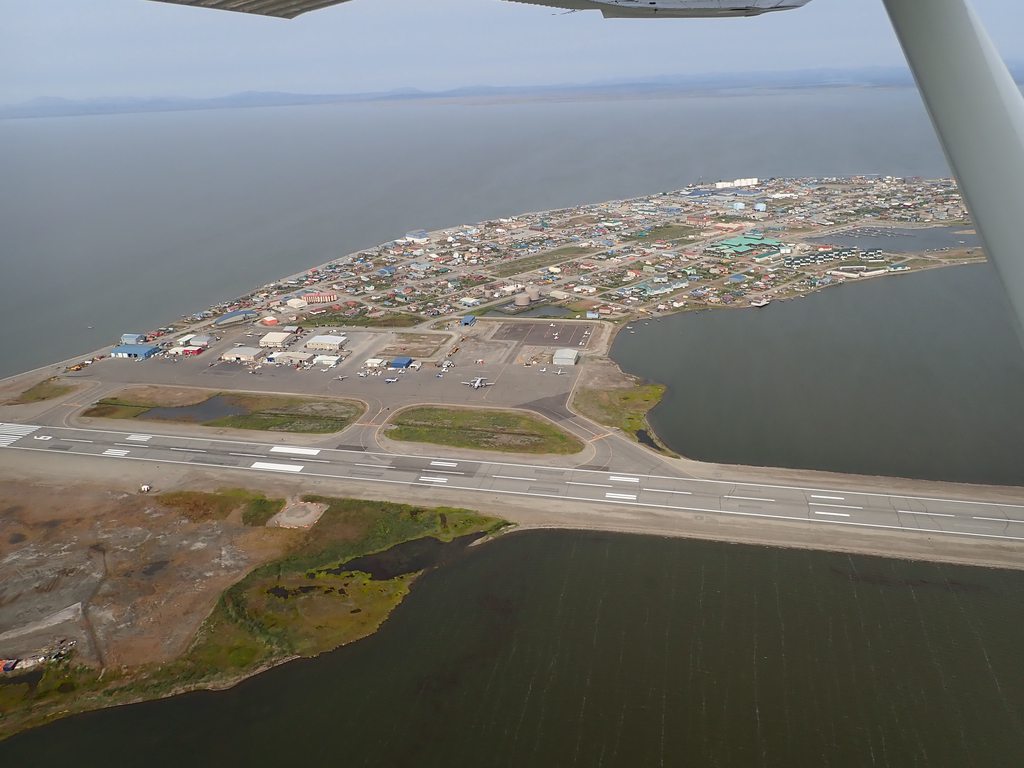
Wow... Goodnews has changed a lot since I was last there. Most of the time we landed on the road going towards town instead of the runway because it was usually more aligned with the wind and also the road was in better shape than the landing strip. There was just one little and very worn out wooden building at the landing strip.
Again, great pictures and great adventures.!!
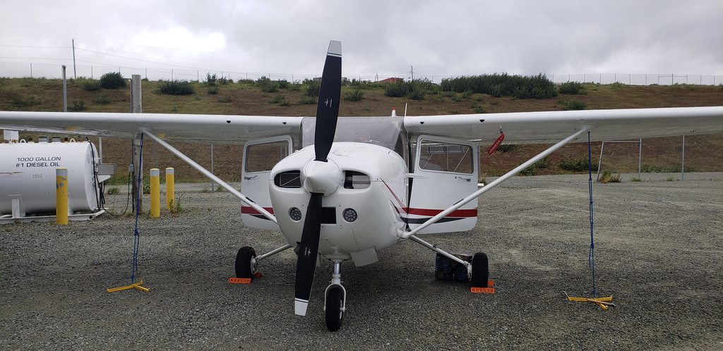
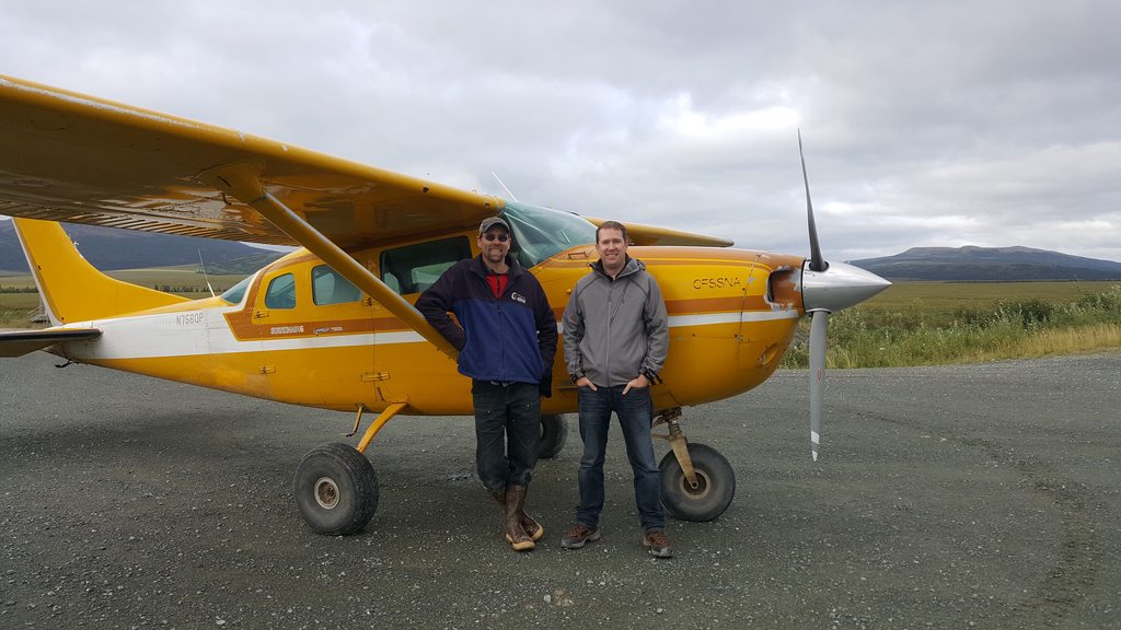
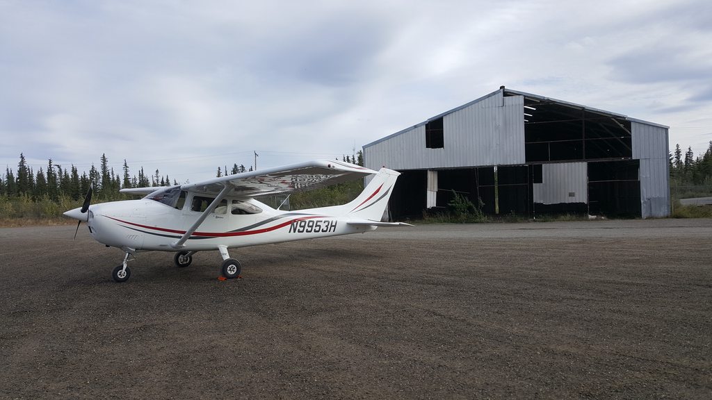
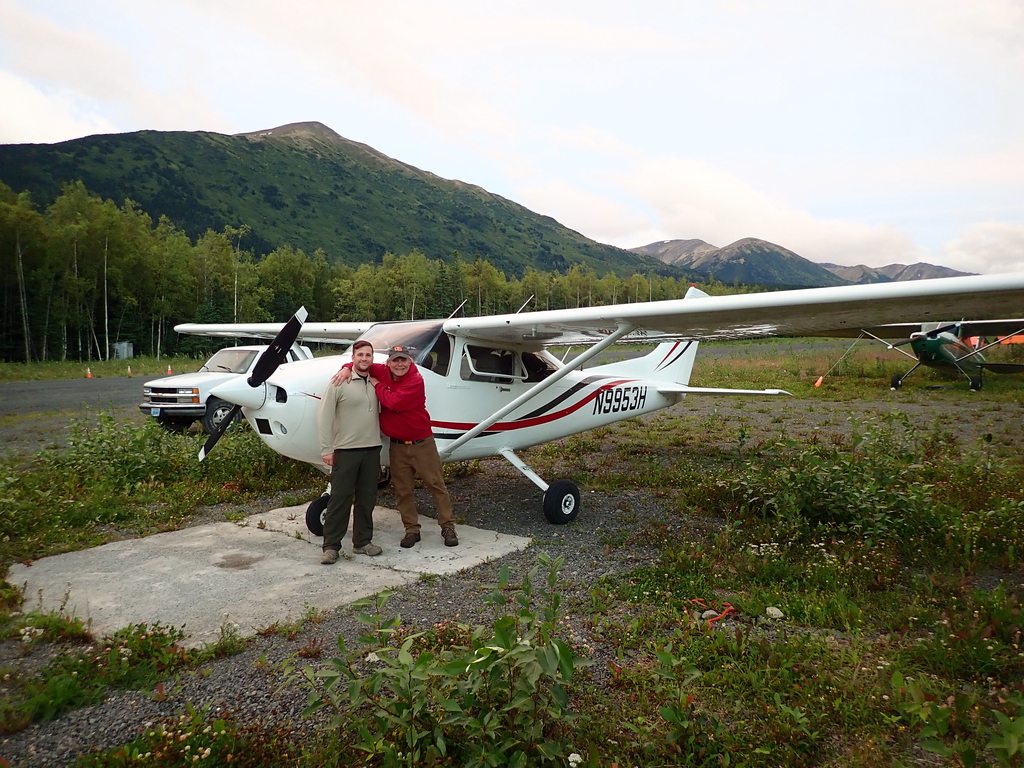
I'm amazed how clean your airplane looks in the photos especially going through all of those dirt strips. Amazing adventure!
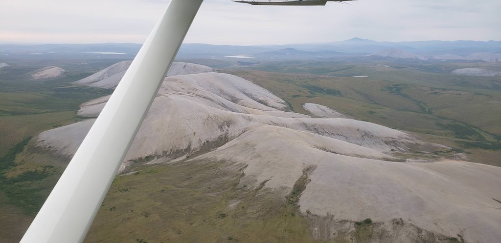
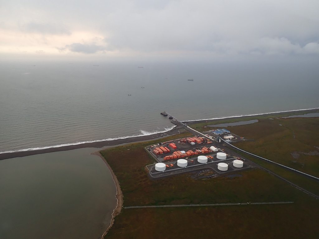
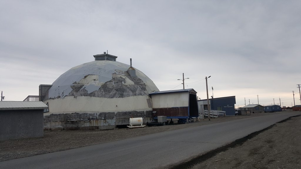
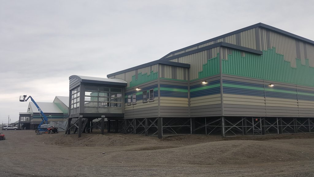
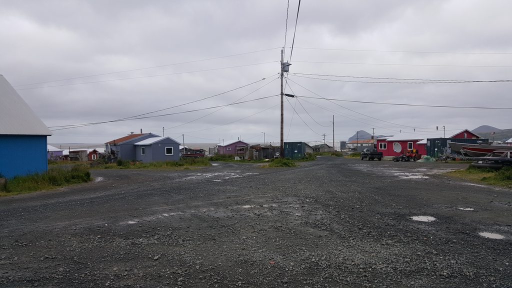
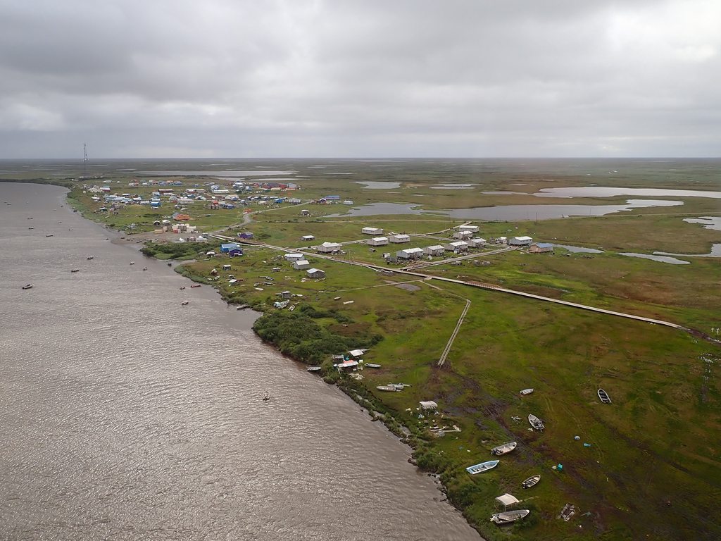
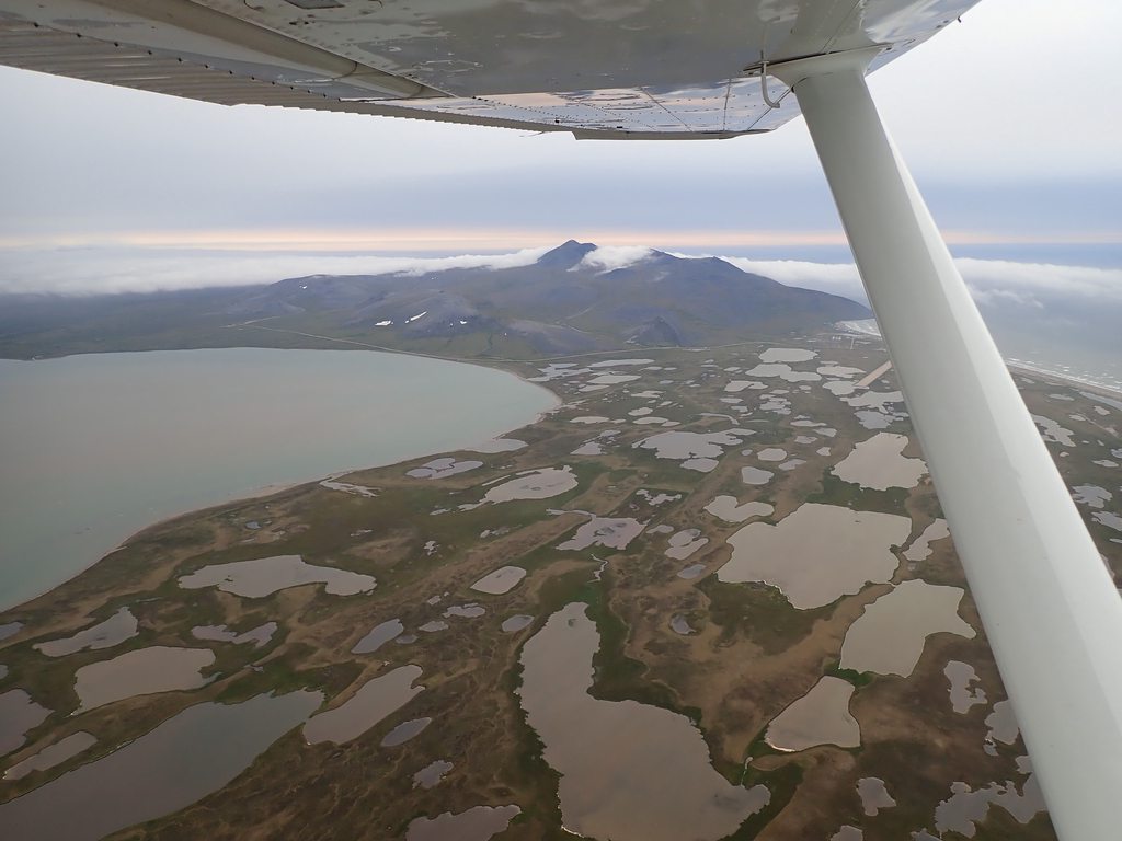
It was clear from every village we visited that the government has poured a lot of money into the villages; lots of fancy new buildings and facilities.
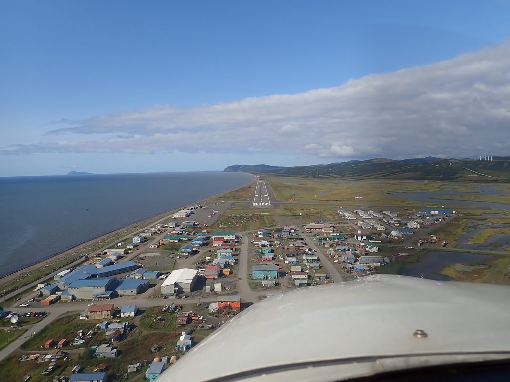
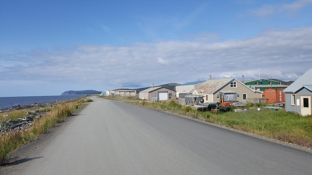
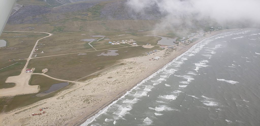
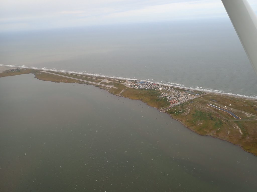
Unalakleet is the home of the famous Flying Wild Alaska shows, although the airline has now merged with another. We didn’t see anybody we recognized.
Unalakleet is the home of the famous Flying Wild Alaska shows, although the airline has now merged with another. We didn’t see anybody we recognized.
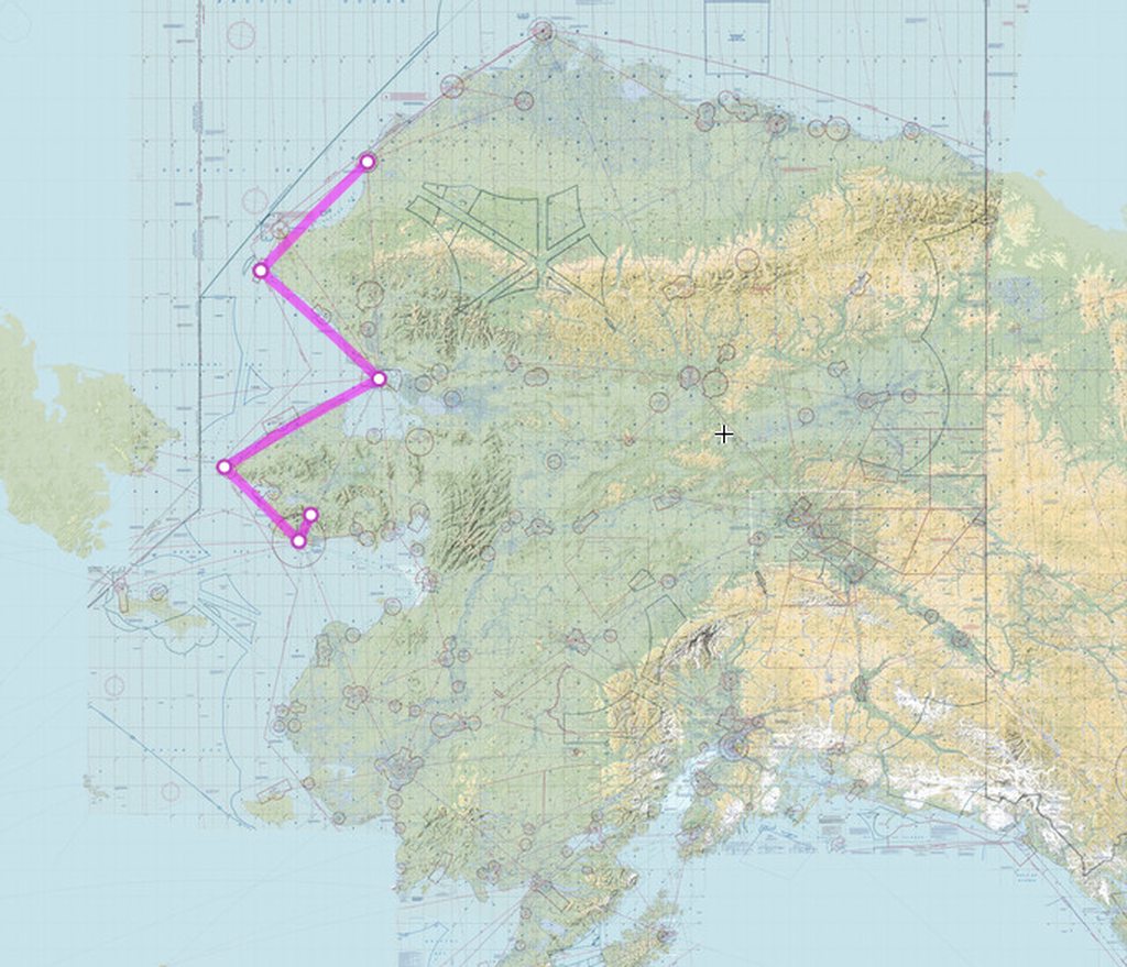
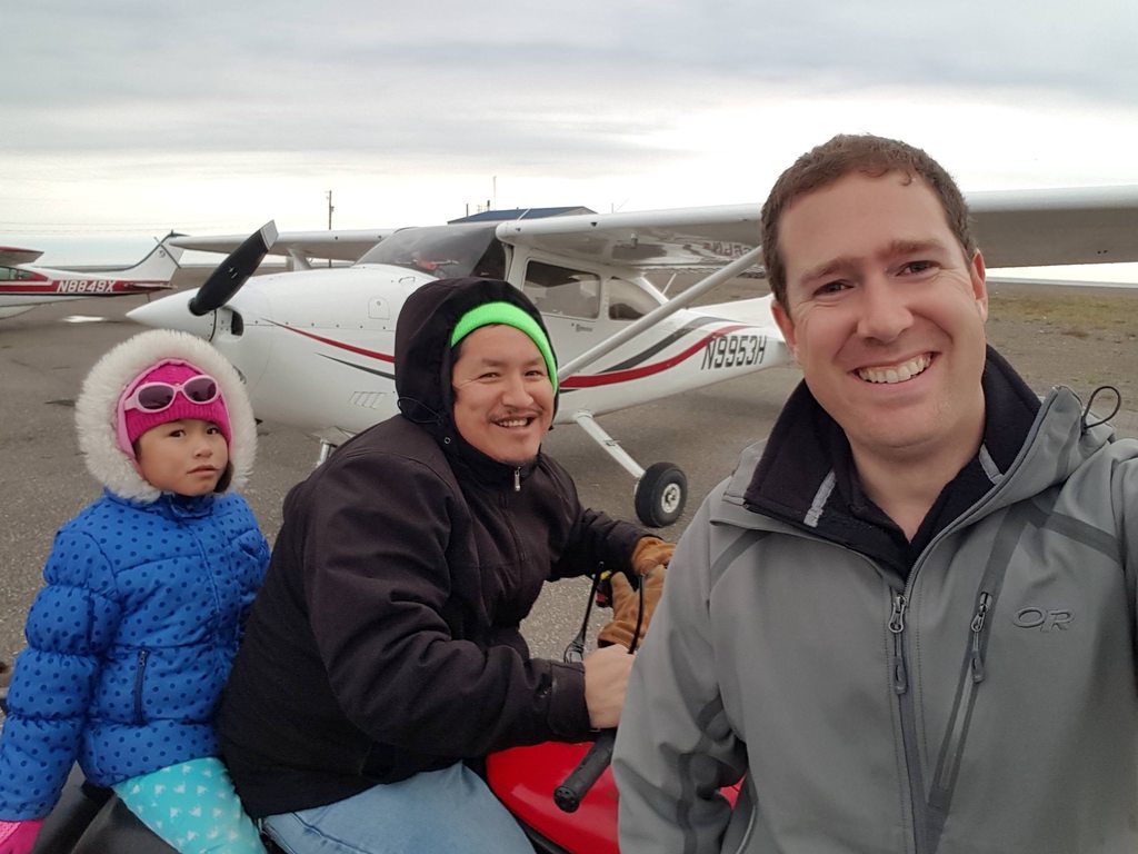
If you get up to Point Hope and talk to a fellow named Larry,
I have heard that Larry retired and left Point Hope a few years ago. Yes, he is a great guy. I stayed at his house waiting out weather a number of times.