GaryP1007
Pre-takeoff checklist
Other than a PIREP or getting info from ATC what tools do you use to determine cloud tops when prepping for XC travel?
Sent from my iPhone using Tapatalk
Sent from my iPhone using Tapatalk
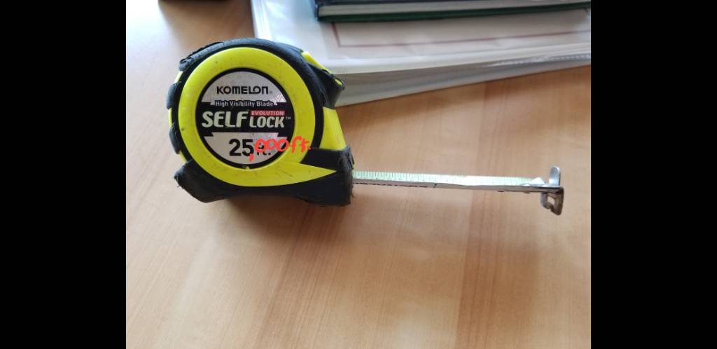
Mines bigger than yours!
Goes to 100'!
Weatherspork works on both platforms.why don't developers make the same neat apps for us 'Driod users as they do for the iCrowd?
The answer usually given is that the development environments are different. It's not a simple thing to write for both. For those who choose iOS, there's also an issue with there being only one iOS compared to more than a dozen flavors of Android.I carry mine on my belt for work every day . . . if I tried that with yours, I'd need to put wheels on it!!
Back on topic . . . why don't developers make the same neat apps for us 'Driod users as they do for the iCrowd?
. . . why don't developers make the same neat apps for us 'Driod users as they do for the iCrowd?
No thanks . . . I prefer accuracy.plenty of free apps available. now if you want to pay for misinformation...…….
Just downloaded this app. Looks like lots of helpful info. Thanks!Weatherspork works on both platforms.
^^^^ THATSkew-T charts.
Other than a PIREP or getting info from ATC what tools do you use to determine cloud tops when prepping for XC travel?
Other than a PIREP or getting info from ATC what tools do you use to determine cloud tops when prepping for XC travel?
Sent from my iPhone using Tapatalk
We have another victim of rampant autocorrect.The purée is only useful when pilots give the tops
As others have mentioned, I look at the GFA tool at aviationweather. I am surprised how right on it can be many times and how very off it is others. I'm sure it will only get better.Other than a PIREP or getting info from ATC what tools do you use to determine cloud tops when prepping for XC travel?
Sent from my iPhone using Tapatalk
The weather center GFA is pretty inaccurate. Would definitely double check with other sources until that product gets a little better. I miss the FA (aviation forecast, which was accurate).
You are saying that a forecast is always accurate? Are you being paid off by theNWS?
Bob
I have downloaded Weatherspork but not really looked it over. Do you cover US only or also other continents?The only sure way is to become familiar with IR satellite images. Once you know the cloud top temperature, you usually can determine the cloud top height (+/- 3000 ft). In WeatherSpork we have a fairly good cloud tops height forecast that goes out 18 hours and it's updated hourly.
View attachment 65940
Absolutely! It's one of the reasons I prefer the NWS Skew-T to most of the apps out there which don't allow for visually plotting the parcel line. Particularly in the summer, I want to see that.That works pretty well for warmer stratiform clouds, not so good for cold stratiform clouds and definitely not cumuliform clouds.
why's there a pencil mark at 3 inches?don't forget this . . .
Right now it's only the U.S. We will eventually expand the app to support Canada, Mexico and the Caribbean before we move into Europe (we show METARs for Canada, Mexico and the Caribbean).
Less than the basic ForeFlight subscription...How much is it after the 7/14 day free trial?
