James Darren
Pre-Flight
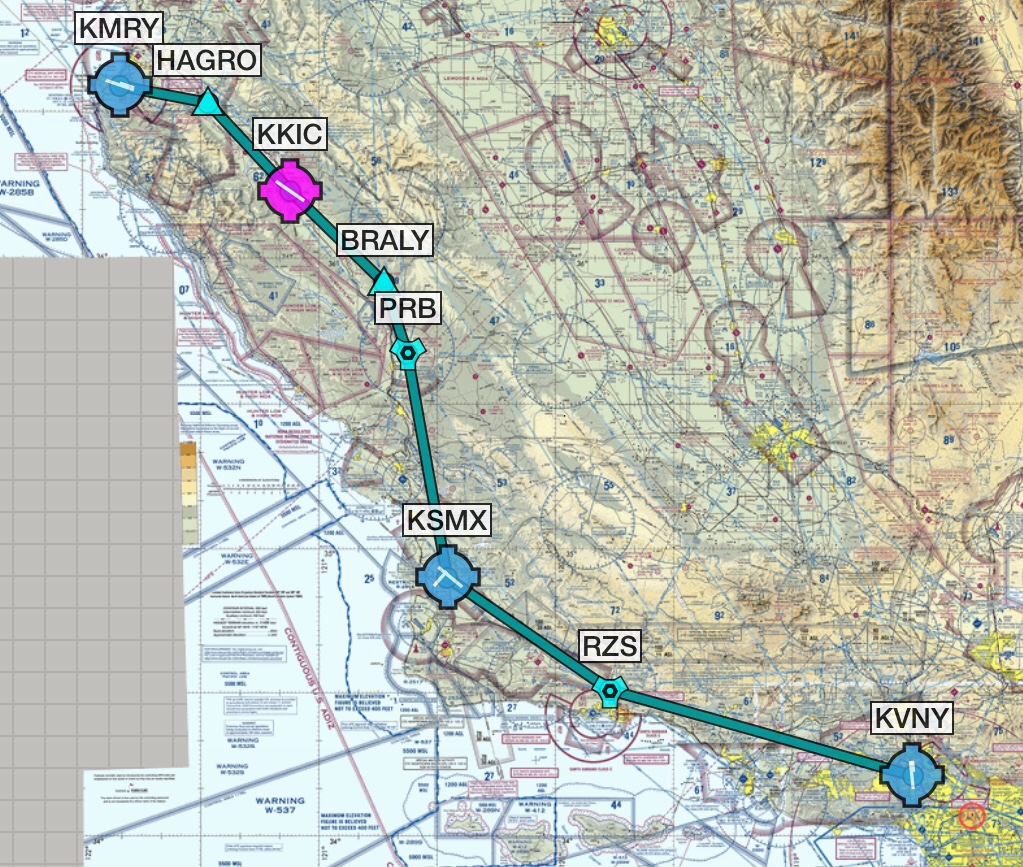
I'm planning to fly a C172S up to Monterey KMRY next week from Los Angeles KVNY.
I've flown many times to KSBA and once to KSBP but never any further north.
Living in SoCal I'm familiar with the marine layer pattern so will keep an eye on the forecast and plan to arrive there just after midday.
I'd like to fly along the Big Sur coastline if the restricted area isn't active - or is it best to fly along the 101 freeway?
Any other advice for Monterey? What are my best alternate airports in the area?
Many thanks...
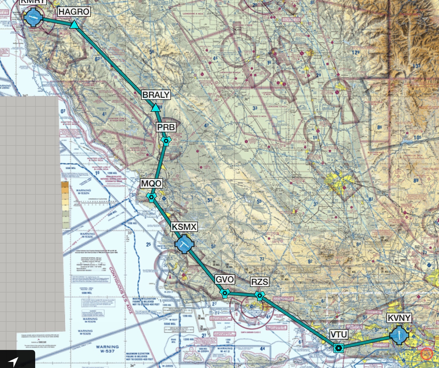
 ) from Paso Robles onward.