Indiana_Pilot
Line Up and Wait
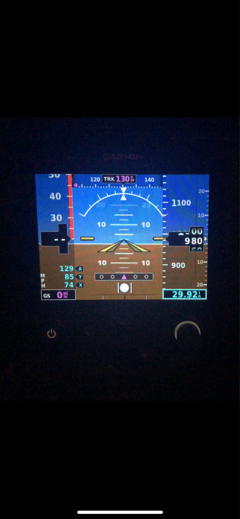
I have been reading about the G5 and it states that it can receive NAV data from some of their newer model GPS navigators.. (using the GAD adapter)
I also have read that it accepts NMEA/Aviation RS232 input for nav and GPS data. I have read where some people have connected a Garmin 496 to them for nav data.
Has anyone tried to use an older GPS such as the Garmin GNS250 or 300XL connected directly via RS232 with the G5?
I would imagine it is not covered under the STC but maybe experimental applications?