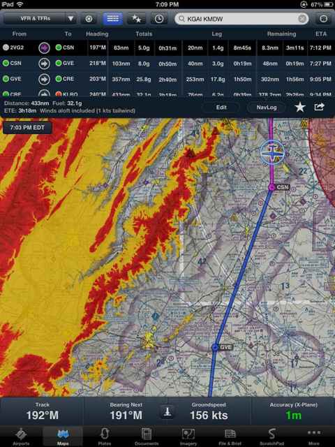
I have a little input on this subject. First I am a big fan of android over apple but I will say I would buy which ever platform would best run whichever app is best. With that being said, I currently fly 9 different airplanes daily, as slow as a cubcrafters cub to a seneca and a twin cessna, and I like both Foreflight and Garmin Pilot. I am now starting to lean more towards Garmin Pilot over Foreflight. Obviously when Garmin Pilot came out the choice was clear everyone was leaning toward the company who had been running the app on tablets for some time and had more experience already. As of yesterday we started receiving TERRAIN on our ipad with Garmin pilot. If you have ever operated a GTN series gps the interface looks pretty much identical. lets keep in mind here who has the HUGE name in avionics. Also Garmin app now has the ability to write on approach charts, so whenever center tells me to report crossing XXXXXX IAP fix well i hit the annotate button and write a little R right on top of the fix. Also with Garmin one can set reminders, for example, report 50 miles northeast KMSP airport. I can hit tools, reminders, and then just like in the vnav function of the GPS I can set remind me, 50 miles, before, KMSP, and also add a message. This function could also be used for a fuel scheduler. I could set a reminder repeated for every 30 min before I take off and Vwallah ever 30 minutes it says, "switch tanks". We also use the Stratus, Stratus II and the GDL39 daily. If you update the firmware on the old stratus it too receives ads-b traffic now and the rumor that the gdl39 cannot bluetooth to multiple devices? well its a rumor. we usually have it bluetoothed to 2 on each flight. Personally we are questioning do we want Garmin or Foreflight? To me the choice is now clear. I think (and this is my opinion) that Garmin, by introducing the terrain feature yesterday, stepped out ahead of Foreflight. Also Foreflight is a standalone company in designing apps and stratus boxes. Garmin is your biggest name in avionics who is already even with, if not ahead of Foreflight, I think that will soon be all there is. The company is trying so hard to sweep all fields I think your service with them will be excellent. Now someone said that when running android they were asking what tablet made the best platform. Well for all you who have a good dose of the Apple Koolaide in you obviously the Ipad and Ipad mini are your only options. I would do mini for yoke mount and full size for everything else. keep in mind you must buy the 3G ipad to be able to use the built in GPS feature. The wifi only ipads have NO GPS CAPABILITY. Not a problem if you plan to use the GDL39 because that does have a gps receiver in it and it works great just have to change settings to "use gdl39 as gps" and good idea even if you do have a 3g ipad as it saves the battery immensely. Now for the androids. Fortunately every android tablet does have a gps so that is easy but some tablets support the program better than others. (I have used this on many) First I would say that the Nexus 7 is similar to the ipad mini and use it for a yoke mount but for everything else I would get the Samsung Galaxy tab 10.1 or the Samsung Galaxy Note 10.1. Also keep in mind that if you are to download everything for this app it will use up about 10gb so I would always get one with expandable memory IE. Micro SD slot or at least 32gb built in memory. Now you know how I feel about it and well this is my 2 cents. :wink2: